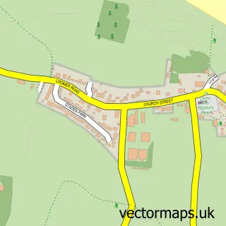
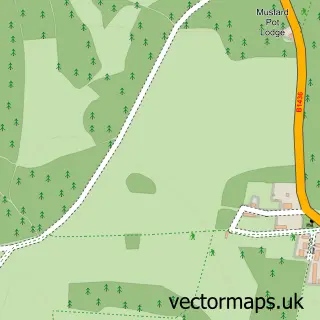
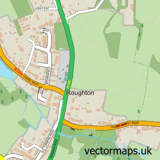
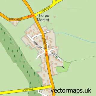
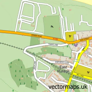
This Overstrand street map is a detailed vector street map covering a 750m x 750m area. Select a larger area to create and download your own vector street map of Overstrand.
The 750-metre map sample for Overstrand covers 365 mapped buildings and approximately 11.3 km of road detail, of which 17 named roads are named. The immediate area includes 1 school, 1 GP surgery within 2 miles and 1 MOT station, with 3 within 2 miles. The wider area around Overstrand features 2 tourism points of interest, 4 food and drink venues and 3 hotels. To create a larger or custom map of Overstrand, the map builder lets you define your own coverage area and download editable SVG, PDF and PNG files.
Create a larger editable map of Overstrand
Choose any area you need and generate a high-quality vector map instantly. Perfect for print, planning, design, business and personal use.

This Overstrand street map in Norfolk is available as downloadable SVG, PDF and PNG map files, or as a printed map for planning, business, display, education, local information and design work. You can also create a larger custom map area using the map selector.
What this Overstrand map sample shows
Overstrand lies within Overstrand Cp parish, part of Poppyland ward in the North Norfolk District local authority area. The postcode geography for this area includes the NR postcode area, the NR27 postcode district and the NR27 0 postcode sector. Residents fall under the Nhs Norfolk And Waveney Integrated Care Board for NHS services.
Local features near Overstrand
Within 2 milesAmenities and services in and around Overstrand.
Administrative and postcode information for Overstrand
The local authority covering Overstrand is North Norfolk District, within the county of Norfolk. The settlement lies within Poppyland ward and Overstrand Cp civil parish. The NR27 postcode district and NR27 0 postcode sector serve the immediate area. NHS provision in the area is delivered through Norfolk And Norwich University Hospitals Nhs Foundation Trust.
Nearby street map samples around Overstrand
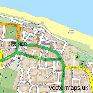

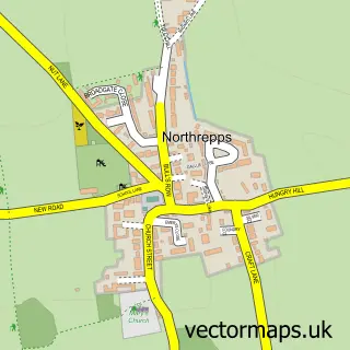
More street maps in Norfolk
750 metre map area coverage
Boundary, postcode and point of interest information for the 750m x 750m rectangle centred on this sample map.
Boundaries containing map centre
Constituency: North Norfolk Co Const
County: Norfolk County
District: North Norfolk District
Icb: NHS Norfolk and Waveney ICB
Parish: Overstrand CP
Police Force: norfolk
Postcode District: NR27
Postcode Sector: NR27 0
Ward: Poppyland Ward
Nearby boundaries intersecting sample
Parish: Northrepps CP
Postcode coverage
POI category counts
Hotel: 3
Bed And Breakfast: 2
Campground: 2
Church Cathedral: 2
Public Transportation: 2
Restaurant: 2
Accommodation: 1
Advertising Agency: 1
Assisted Living Facility: 1
Building Supply Store: 1
Sample points of interest
- Christian Endeavour Holiday Centres - The Pleasaunce & Beechwood Court
- Signs & Grafix
- Elizabeth Fitzroy
- Danum House Bed & Breakfast
- The White Horse
- Conkers
- East Runton Butchers
- Starters Orders
- Ivy Farm Holiday Park
- W Reynolds & Sons
- Overstrand Northrepps Sidestrand Trimmingham Churc
- St Martins Church Overstrand
Create a larger editable map of Overstrand
This sample shows only a 750 metre area. To create a larger map of Overstrand, use our map builder to choose your own coverage area, add titles and download editable SVG, PDF and PNG files.
Create a custom map of Overstrand