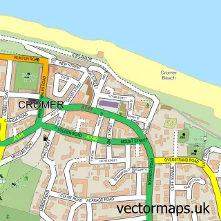
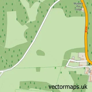
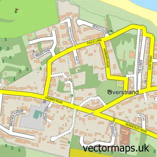
This Roughton street map is a detailed vector street map covering a 750m x 750m area. Select a larger area to create and download your own vector street map of Roughton.
The 750-metre map sample for Roughton covers 209 mapped buildings and approximately 10.3 km of road detail, of which 9 named roads are named. The immediate area includes 1 school and 1 pub. The wider area around Roughton features 1 tourism point of interest, 1 food and drink venue and 1 hotel. To create a larger or custom map of Roughton, the map builder lets you define your own coverage area and download editable SVG, PDF and PNG files.
Create a larger editable map of Roughton
Choose any area you need and generate a high-quality vector map instantly. Perfect for print, planning, design, business and personal use.

This Roughton street map in Norfolk is available as downloadable SVG, PDF and PNG map files, or as a printed map for planning, business, display, education, local information and design work. You can also create a larger custom map area using the map selector.
What this Roughton map sample shows
Roughton lies within Roughton Cp parish, part of Roughton ward in the North Norfolk District local authority area. The postcode geography for this area includes the NR postcode area, the NR11 postcode district and the NR11 8 postcode sector. Residents fall under the Nhs Norfolk And Waveney Integrated Care Board for NHS services.
Local features near Roughton
Within 2 milesAmenities and services in and around Roughton.
Administrative and postcode information for Roughton
The local authority covering Roughton is North Norfolk District, within the county of Norfolk. The settlement lies within Roughton ward and Roughton Cp civil parish. The NR11 postcode district and NR11 8 postcode sector serve the immediate area. NHS provision in the area is delivered through Norfolk And Norwich University Hospitals Nhs Foundation Trust.
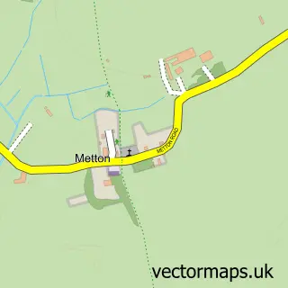
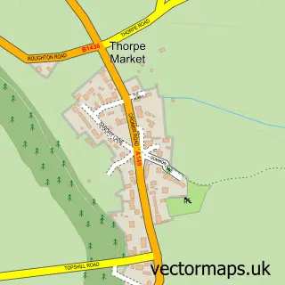
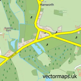
Nearby street map samples around Roughton

More street maps in Norfolk
750 metre map area coverage
Boundary, postcode and point of interest information for the 750m x 750m rectangle centred on this sample map.
Boundaries containing map centre
Constituency: North Norfolk Co Const
County: Norfolk County
District: North Norfolk District
Icb: NHS Norfolk and Waveney ICB
Parish: Roughton CP
Police Force: norfolk
Postcode District: NR11
Postcode Sector: NR11 8
Ward: Roughton Ward
Nearby boundaries intersecting sample
No additional intersecting boundaries found.
Postcode coverage
POI category counts
Gas Station: 3
Elementary School: 2
Fish And Chips Restaurant: 2
Atms: 1
Automotive Parts And Accessories: 1
Automotive Repair: 1
Beauty And Spa: 1
Charity Organization: 1
Contractor: 1
Convenience Store: 1
Sample points of interest
- Harvest Energy - ROUGHTON NORWICH ROAD PFS (H.K.S)
- Norfolk Prestige Car Parts
- Roughton Garage
- Nails by Ginny
- Friends of Roughton School
- Dolphin Property Services
- Spar
- Fender Cottage
- Roughton St Marys
- St Mary's Endowed Church of England Primary School
- Roughton Fish Shop
- The Fish Shop
Create a larger editable map of Roughton
This sample shows only a 750 metre area. To create a larger map of Roughton, use our map builder to choose your own coverage area, add titles and download editable SVG, PDF and PNG files.
Create a custom map of Roughton