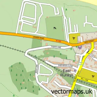
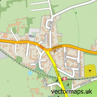
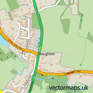
This Cromer street map is a detailed vector street map covering a 750m x 750m area. Select a larger area to create and download your own vector street map of Cromer.
The 750-metre map sample for Cromer covers 235 mapped buildings and approximately 17.1 km of road detail, of which 46 named roads are named. The immediate area includes 1 GP surgery within 2 miles, 6 pubs and 5 MOT stations within 2 miles. The wider area around Cromer features 9 tourism points of interest, 49 food and drink venues and 12 hotels. To create a larger or custom map of Cromer, the map builder lets you define your own coverage area and download editable SVG, PDF and PNG files.
Create a larger editable map of Cromer
Choose any area you need and generate a high-quality vector map instantly. Perfect for print, planning, design, business and personal use.

This Cromer street map in Norfolk is available as downloadable SVG, PDF and PNG map files, or as a printed map for planning, business, display, education, local information and design work. You can also create a larger custom map area using the map selector.
What this Cromer map sample shows
Cromer lies within Cromer Cp parish, part of Suffield Park ward in the North Norfolk District local authority area. The postcode geography for this area includes the NR postcode area, the NR27 postcode district and the NR27 0 postcode sector. Residents fall under the Nhs Norfolk And Waveney Integrated Care Board for NHS services.
Local features near Cromer
Within 2 milesAmenities and services in and around Cromer.
Administrative and postcode information for Cromer
The local authority covering Cromer is North Norfolk District, within the county of Norfolk. The settlement lies within Suffield Park ward and Cromer Cp civil parish. The NR27 postcode district and NR27 0 postcode sector serve the immediate area. NHS provision in the area is delivered through Norfolk And Norwich University Hospitals Nhs Foundation Trust.
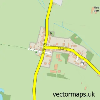
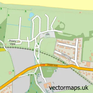
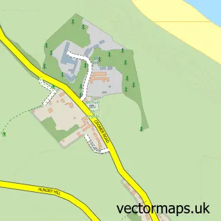
Nearby street map samples around Cromer

More street maps in Norfolk
750 metre map area coverage
Boundary, postcode and point of interest information for the 750m x 750m rectangle centred on this sample map.
Boundaries containing map centre
Constituency: North Norfolk Co Const
County: Norfolk County
District: North Norfolk District
Icb: NHS Norfolk and Waveney ICB
Parish: Cromer CP
Police Force: norfolk
Postcode District: NR27
Postcode Sector: NR27 9
Ward: Cromer Town Ward
Nearby boundaries intersecting sample
Postcode Sector: NR27 0
Ward: Suffield Park Ward
Postcode coverage
POI category counts
Cafe: 21
Holiday Rental Home: 13
Hotel: 12
Coffee Shop: 11
Restaurant: 11
Flowers And Gifts Shop: 10
Beauty Salon: 7
Hair Salon: 6
Professional Services: 6
Pub: 6
Sample points of interest
- Barber & Co.
- Pope & Co.
- Timothy Hignett & Partners
- Cromer Cricket Club
- St John Ambulance
- Leisureland Arcade Cromer
- Cromer Parish Church (St Peter and St Paul)
- Cromer Parish Hall
- RSPCA
- Brisbane Antiques
- Red Retro Vintage Emporium
- Randalls Electrical
Create a larger editable map of Cromer
This sample shows only a 750 metre area. To create a larger map of Cromer, use our map builder to choose your own coverage area, add titles and download editable SVG, PDF and PNG files.
Create a custom map of Cromer