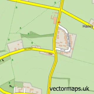
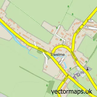
This Nuffield street map is a detailed vector street map covering a 750m x 750m area. Select a larger area to create and download your own vector street map of Nuffield.
The 750-metre map sample for Nuffield covers 71 mapped buildings and approximately 6.3 km of road detail, of which 3 named roads are named. The immediate area includes 1 GP surgery within 2 miles. The wider area around Nuffield features 1 tourism point of interest. To create a larger or custom map of Nuffield, the map builder lets you define your own coverage area and download editable SVG, PDF and PNG files.
Create a larger editable map of Nuffield
Choose any area you need and generate a high-quality vector map instantly. Perfect for print, planning, design, business and personal use.

This Nuffield street map in Oxfordshire is available as downloadable SVG, PDF and PNG map files, or as a printed map for planning, business, display, education, local information and design work. You can also create a larger custom map area using the map selector.
What this Nuffield map sample shows
Nuffield lies within Nuffield Cp parish, part of Woodcote & Rotherfield ward in the South Oxfordshire District local authority area. The postcode geography for this area includes the RG postcode area, the RG9 postcode district and the RG9 5 postcode sector. Residents fall under the Nhs Buckinghamshire, Oxfordshire And Berkshire West Integrated Care Board for NHS services.
Local features near Nuffield
Within 2 milesAmenities and services in and around Nuffield.
Administrative and postcode information for Nuffield
Nuffield lies within Nuffield Cp parish, part of Woodcote & Rotherfield ward in the South Oxfordshire District local authority area. The postcode geography for this area includes the RG postcode area, the RG9 postcode district and the RG9 5 postcode sector. Residents fall under the Nhs Buckinghamshire, Oxfordshire And Berkshire West Integrated Care Board for NHS services.
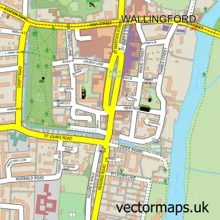
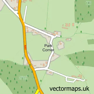
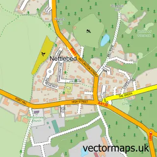
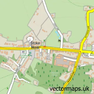
Nearby street map samples around Nuffield

More street maps in Oxfordshire
750 metre map area coverage
Boundary, postcode and point of interest information for the 750m x 750m rectangle centred on this sample map.
Boundaries containing map centre
Constituency: Henley and Thame Co Const
County: Oxfordshire County
District: South Oxfordshire District
Icb: NHS Thames Valley ICB
Parish: Nuffield CP
Police Force: thames valley
Postcode District: RG9
Postcode Sector: RG9 5
Ward: Woodcote & Rotherfield Ward
Nearby boundaries intersecting sample
No additional intersecting boundaries found.
Postcode coverage
POI category counts
Anglican Church: 1
Bar: 1
Beauty And Spa: 1
Car Dealer: 1
Contractor: 1
Corporate Entertainment Services: 1
Furniture Manufacturers: 1
Golf Course: 1
Gun And Ammo: 1
Interior Design: 1
Sample points of interest
- Holy Trinity
- Beer
- The Henley Fox - Beauty & Hair
- Moto Drome
- Eagle Plastering and Home Improvements
- Jester Giggles
- Get Furnished - for The finest high street seconds
- Huntercombe Golf Club
- Jason Abbot Gunmakers
- D S Decor
- Henley IT Support
- Nuffield, Oxfordshire
Create a larger editable map of Nuffield
This sample shows only a 750 metre area. To create a larger map of Nuffield, use our map builder to choose your own coverage area, add titles and download editable SVG, PDF and PNG files.
Create a custom map of Nuffield