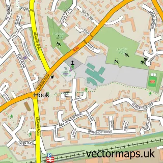
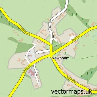
This Odiham street map is a detailed vector street map covering a 750m x 750m area. Select a larger area to create and download your own vector street map of Odiham.
The 750-metre map sample for Odiham covers 278 mapped buildings and approximately 10.1 km of road detail, of which 21 named roads are named. The immediate area includes 2 schools, 1 GP surgery, 3 pubs and 1 MOT station, with 2 within 2 miles. The wider area around Odiham features 3 tourism points of interest, 7 food and drink venues and 1 hotel. To create a larger or custom map of Odiham, the map builder lets you define your own coverage area and download editable SVG, PDF and PNG files.
Create a larger editable map of Odiham
Choose any area you need and generate a high-quality vector map instantly. Perfect for print, planning, design, business and personal use.

This Odiham street map in Hampshire is available as downloadable SVG, PDF and PNG map files, or as a printed map for planning, business, display, education, local information and design work. You can also create a larger custom map area using the map selector.
What this Odiham map sample shows
Odiham lies within Odiham Cp parish, part of Odiham ward in the Hart District local authority area. The postcode geography for this area includes the RG postcode area, the RG29 postcode district and the RG29 1 postcode sector. Residents fall under the Nhs Hampshire And Isle Of Wight Integrated Care Board for NHS services.
Local features near Odiham
Within 2 milesAmenities and services in and around Odiham.
Administrative and postcode information for Odiham
Odiham lies within Odiham Cp parish, part of Odiham ward in the Hart District local authority area. The postcode geography for this area includes the RG postcode area, the RG29 postcode district and the RG29 1 postcode sector. Residents fall under the Nhs Hampshire And Isle Of Wight Integrated Care Board for NHS services.
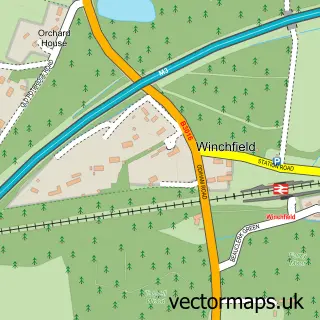
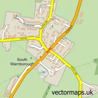
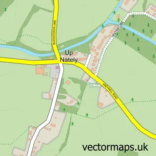
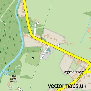
Nearby street map samples around Odiham

More street maps in Hampshire
750 metre map area coverage
Boundary, postcode and point of interest information for the 750m x 750m rectangle centred on this sample map.
Boundaries containing map centre
Constituency: North East Hampshire Co Const
County: Hampshire County
District: Hart District
Icb: NHS Hampshire and Isle of Wight ICB
Parish: Odiham CP
Police Force: hampshire
Postcode District: RG29
Postcode Sector: RG29 1
Ward: Odiham Ward
Nearby boundaries intersecting sample
No additional intersecting boundaries found.
Postcode coverage
POI category counts
Charity Organization: 4
Community Services Non Profits: 4
General Dentistry: 4
Hair Salon: 4
Barber: 3
Beauty And Spa: 3
Beauty Salon: 3
Business Management Services: 3
Financial Service: 3
Flowers And Gifts Shop: 3
Sample points of interest
- Goddard & Co
- Acumen Healthcare Communications
- Claire French Homeopathy Nutrition Within Odiham Health Centre
- Odiham Osteopathic Clinic
- All Saints, Odiham
- No 75 Antiques
- The Frame Odiham
- French Soirèe
- The Cross Barn
- The Southern Co-Operative Odiham High Street
- Kaiser's field
- Julian Cameron Mobile Motorcycle Technician
Create a larger editable map of Odiham
This sample shows only a 750 metre area. To create a larger map of Odiham, use our map builder to choose your own coverage area, add titles and download editable SVG, PDF and PNG files.
Create a custom map of Odiham