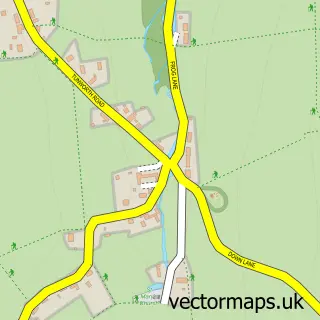
This Greywell street map is a detailed vector street map covering a 750m x 750m area. Select a larger area to create and download your own vector street map of Greywell.
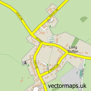
The 750-metre map sample for Greywell covers 88 mapped buildings and approximately 4.6 km of road detail, of which 5 named roads are named. The immediate area includes 1 GP surgery within 2 miles, 1 pub and 4 MOT stations within 2 miles. The wider area around Greywell features 1 food and drink venue. To create a larger or custom map of Greywell, the map builder lets you define your own coverage area and download editable SVG, PDF and PNG files.
Create a larger editable map of Greywell
Choose any area you need and generate a high-quality vector map instantly. Perfect for print, planning, design, business and personal use.

This Greywell street map in Hampshire is available as downloadable SVG, PDF and PNG map files, or as a printed map for planning, business, display, education, local information and design work. You can also create a larger custom map area using the map selector.
What this Greywell map sample shows
Greywell lies within Greywell Cp parish, part of Odiham ward in the Hart District local authority area. The postcode geography for this area includes the RG postcode area, the RG29 postcode district and the RG29 1 postcode sector. Residents fall under the Nhs Hampshire And Isle Of Wight Integrated Care Board for NHS services.
Local features near Greywell
Within 2 milesAmenities and services in and around Greywell.
Administrative and postcode information for Greywell
Greywell lies within Greywell Cp parish, part of Odiham ward in the Hart District local authority area. The postcode geography for this area includes the RG postcode area, the RG29 postcode district and the RG29 1 postcode sector. Residents fall under the Nhs Hampshire And Isle Of Wight Integrated Care Board for NHS services.
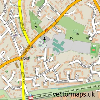
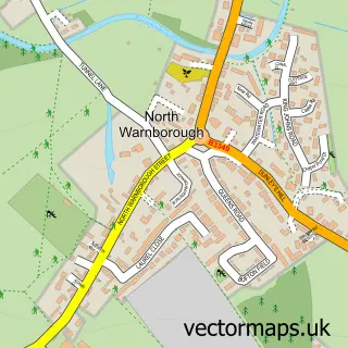
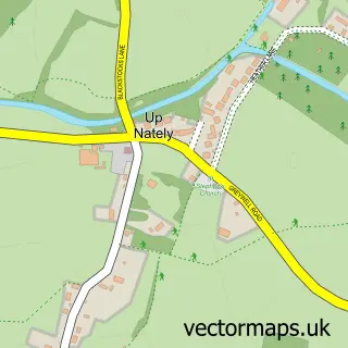
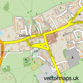
Nearby street map samples around Greywell

More street maps in Hampshire
750 metre map area coverage
Boundary, postcode and point of interest information for the 750m x 750m rectangle centred on this sample map.
Boundaries containing map centre
Constituency: North East Hampshire Co Const
County: Hampshire County
District: Hart District
Icb: NHS Hampshire and Isle of Wight ICB
Parish: Greywell CP
Police Force: hampshire
Postcode District: RG29
Postcode Sector: RG29 1
Ward: Odiham Ward
Nearby boundaries intersecting sample
Parish: Odiham CP
Postcode coverage
POI category counts
Anglican Church: 1
Contractor: 1
Home Service: 1
Pub: 1
Storage Facility: 1
Sample points of interest
- St Mary's, Greywell
- FTP Construction Services
- Babble and Bean Sensory Play Cafe
- Fox and Goose at Greywell
- Toy Stor-age
Create a larger editable map of Greywell
This sample shows only a 750 metre area. To create a larger map of Greywell, use our map builder to choose your own coverage area, add titles and download editable SVG, PDF and PNG files.
Create a custom map of Greywell