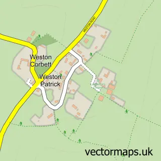
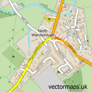
This Upton Grey street map is a detailed vector street map covering a 750m x 750m area. Select a larger area to create and download your own vector street map of Upton Grey.
The 750-metre map sample for Upton Grey covers 182 mapped buildings and approximately 9.3 km of road detail, of which 9 named roads are named. The immediate area includes 1 pub and 1 MOT station within 2 miles. The wider area around Upton Grey features 1 tourism point of interest and 1 food and drink venue. To create a larger or custom map of Upton Grey, the map builder lets you define your own coverage area and download editable SVG, PDF and PNG files.
Create a larger editable map of Upton Grey
Choose any area you need and generate a high-quality vector map instantly. Perfect for print, planning, design, business and personal use.

This Upton Grey street map in Hampshire is available as downloadable SVG, PDF and PNG map files, or as a printed map for planning, business, display, education, local information and design work. You can also create a larger custom map area using the map selector.
What this Upton Grey map sample shows
Upton Grey lies within Upton Grey Cp parish, part of Upton Grey And The Candovers ward in the Basingstoke And Deane District (B) local authority area. The postcode geography for this area includes the RG postcode area, the RG25 postcode district and the RG25 2 postcode sector. Residents fall under the Nhs Hampshire And Isle Of Wight Integrated Care Board for NHS services.
Local features near Upton Grey
Within 2 milesAmenities and services in and around Upton Grey.
Administrative and postcode information for Upton Grey
The local authority covering Upton Grey is Basingstoke And Deane District (B), within the county of Hampshire. The settlement lies within Upton Grey And The Candovers ward and Upton Grey Cp civil parish. The RG25 postcode district and RG25 2 postcode sector serve the immediate area. NHS provision in the area is delivered through Hampshire Hospitals Nhs Foundation Trust.
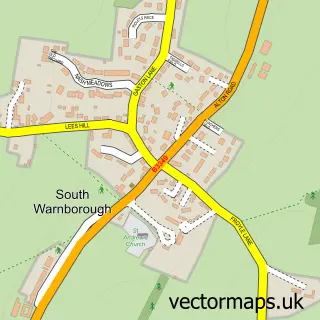
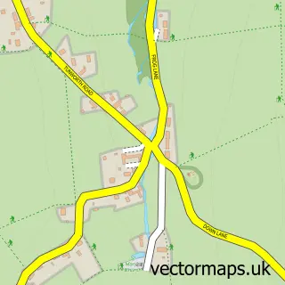
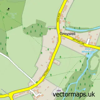
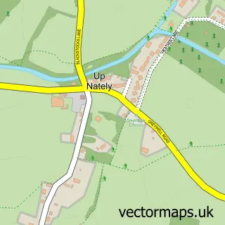
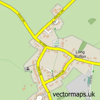
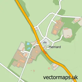
Nearby street map samples around Upton Grey

More street maps in Hampshire
750 metre map area coverage
Boundary, postcode and point of interest information for the 750m x 750m rectangle centred on this sample map.
Boundaries containing map centre
Constituency: North East Hampshire Co Const
County: Hampshire County
District: Basingstoke and Deane District (B)
Icb: NHS Hampshire and Isle of Wight ICB
Parish: Upton Grey CP
Police Force: hampshire
Postcode District: RG25
Postcode Sector: RG25 2
Ward: Basing & Upton Grey Ward
Nearby boundaries intersecting sample
No additional intersecting boundaries found.
Postcode coverage
POI category counts
Gardener: 2
Post Office: 2
Anglican Church: 1
Attractions And Activities: 1
Church Cathedral: 1
Community Services Non Profits: 1
Construction Services: 1
Contractor: 1
Convenience Store: 1
Courier And Delivery Services: 1
Sample points of interest
- St Mary's, Upton Grey
- A Gertrude Jekyll Garden. The Manor House, Upton Grey
- St Mary's Church
- Upton Grey Window on the Past
- R J Coutts Building Services
- PJH Plastering
- Londis
- Evri ParcelShop
- Gorilla Spirits Co.
- The Behaviour Clinic
- ColourFence
- Alan Taylor & Co
Create a larger editable map of Upton Grey
This sample shows only a 750 metre area. To create a larger map of Upton Grey, use our map builder to choose your own coverage area, add titles and download editable SVG, PDF and PNG files.
Create a custom map of Upton Grey