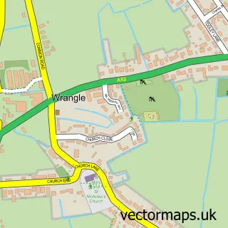
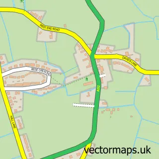
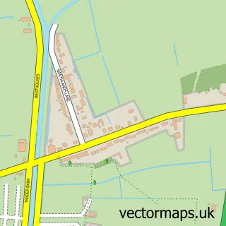
This Old Leake street map is a detailed vector street map covering a 750m x 750m area. Select a larger area to create and download your own vector street map of Old Leake.
The 750-metre map sample for Old Leake covers 292 mapped buildings and approximately 17.8 km of road detail, of which 21 named roads are named. The immediate area includes 1 primary school and 1 secondary school, 1 GP surgery, 1 pub and 2 MOT stations within 2 miles. The wider area around Old Leake features 2 food and drink venues. To create a larger or custom map of Old Leake, the map builder lets you define your own coverage area and download editable SVG, PDF and PNG files.
Create a larger editable map of Old Leake
Choose any area you need and generate a high-quality vector map instantly. Perfect for print, planning, design, business and personal use.

This Old Leake street map in Lincolnshire is available as downloadable SVG, PDF and PNG map files, or as a printed map for planning, business, display, education, local information and design work. You can also create a larger custom map area using the map selector.
What this Old Leake map sample shows
Old Leake lies within Old Leake Cp parish, part of Old Leake And Wrangle ward in the Boston District (B) local authority area. The postcode geography for this area includes the PE postcode area, the PE22 postcode district and the PE22 9 postcode sector. Residents fall under the Nhs Lincolnshire Integrated Care Board for NHS services.
Local features near Old Leake
Within 2 milesAmenities and services in and around Old Leake.
Administrative and postcode information for Old Leake
The local authority covering Old Leake is Boston District (B), within the county of Lincolnshire. The settlement lies within Old Leake And Wrangle ward and Old Leake Cp civil parish. The PE22 postcode district and PE22 9 postcode sector serve the immediate area. NHS provision in the area is delivered through United Lincolnshire Hospitals Nhs Trust.
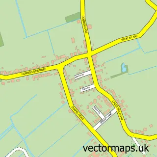
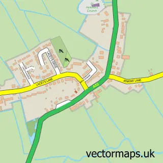
Nearby street map samples around Old Leake

More street maps in Lincolnshire
750 metre map area coverage
Boundary, postcode and point of interest information for the 750m x 750m rectangle centred on this sample map.
Boundaries containing map centre
Constituency: Boston and Skegness Co Const
County: Lincolnshire County
District: Boston District (B)
Icb: NHS Lincolnshire ICB
Parish: Old Leake CP
Police Force: lincolnshire
Postcode District: PE22
Postcode Sector: PE22 9
Ward: Old Leake and Wrangle Ward
Nearby boundaries intersecting sample
No additional intersecting boundaries found.
Postcode coverage
POI category counts
Doctor: 3
Post Office: 3
Beauty Salon: 2
Grocery Store: 2
Agricultural Service: 1
Anglican Church: 1
Apartments: 1
Bar: 1
Cafe: 1
Community Center: 1
Sample points of interest
- Charles Wright & Sons Ltd
- St Mary, Old Leake
- The Meadows
- Batemans Management Co
- Mag's Tanning & Beauty
- The Glamour Manor
- Sweet Vs
- Old Leake Community Centre
- Collins groundworks & general building
- Old Leake Food Store
- Candlesby Cabinets & Doors
- Dr R W Latchem - Old Leak Medical Centre
Create a larger editable map of Old Leake
This sample shows only a 750 metre area. To create a larger map of Old Leake, use our map builder to choose your own coverage area, add titles and download editable SVG, PDF and PNG files.
Create a custom map of Old Leake