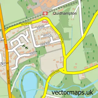
This Overton street map is a detailed vector street map covering a 750m x 750m area. Select a larger area to create and download your own vector street map of Overton.
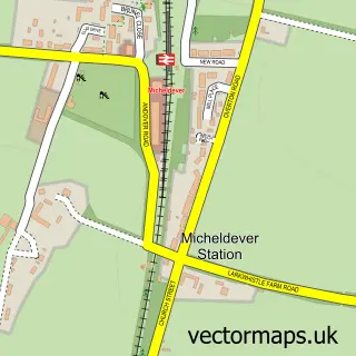
The 750-metre map sample for Overton covers 367 mapped buildings and approximately 17.2 km of road detail, of which 33 named roads are named. The immediate area includes 5 pubs and 2 MOT stations within 2 miles. The wider area around Overton features 1 tourism point of interest, 7 food and drink venues and 1 hotel. To create a larger or custom map of Overton, the map builder lets you define your own coverage area and download editable SVG, PDF and PNG files.
Create a larger editable map of Overton
Choose any area you need and generate a high-quality vector map instantly. Perfect for print, planning, design, business and personal use.

This Overton street map in Hampshire is available as downloadable SVG, PDF and PNG map files, or as a printed map for planning, business, display, education, local information and design work. You can also create a larger custom map area using the map selector.
What this Overton map sample shows
Overton lies within Overton Cp parish, part of Overton, Laverstoke And Steventon ward in the Basingstoke And Deane District (B) local authority area. The postcode geography for this area includes the RG postcode area, the RG25 postcode district and the RG25 3 postcode sector. Residents fall under the Nhs Hampshire And Isle Of Wight Integrated Care Board for NHS services.
Local features near Overton
Within 2 milesAmenities and services in and around Overton.
Administrative and postcode information for Overton
The local authority covering Overton is Basingstoke And Deane District (B), within the county of Hampshire. The settlement lies within Overton, Laverstoke And Steventon ward and Overton Cp civil parish. The RG25 postcode district and RG25 3 postcode sector serve the immediate area. NHS provision in the area is delivered through Hampshire Hospitals Nhs Foundation Trust.
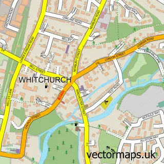
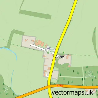
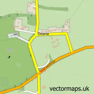
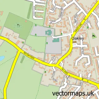
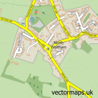
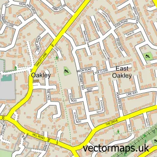
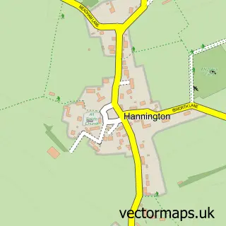
Nearby street map samples around Overton

More street maps in Hampshire
750 metre map area coverage
Boundary, postcode and point of interest information for the 750m x 750m rectangle centred on this sample map.
Boundaries containing map centre
Constituency: North West Hampshire Co Const
County: Hampshire County
District: Basingstoke and Deane District (B)
Icb: NHS Hampshire and Isle of Wight ICB
Parish: Overton CP
Police Force: hampshire
Postcode District: RG25
Postcode Sector: RG25 3
Ward: Whitchurch, Overton & Laverstoke Ward
Nearby boundaries intersecting sample
No additional intersecting boundaries found.
Postcode coverage
POI category counts
Pub: 5
Sports Club And League: 4
Travel Agents: 4
Fish And Chips Restaurant: 3
Auto Upholstery: 2
Barber: 2
Beauty Salon: 2
Beer Wine And Spirits: 2
Butcher Shop: 2
Church Cathedral: 2
Sample points of interest
- Overton Gallery
- The Southern Co-Operative Overton Winchester Street (Swap)
- Cottage Garden Upholstery & Furniture
- Overton Upholstery
- The Village Bakery
- The Revolution Bar
- Hair For Men
- Paul's Men's Styling
- The Mens Room
- Emma Restell Hairdressing
- The Hair Studio Overton
- Overton Annexe
Create a larger editable map of Overton
This sample shows only a 750 metre area. To create a larger map of Overton, use our map builder to choose your own coverage area, add titles and download editable SVG, PDF and PNG files.
Create a custom map of Overton