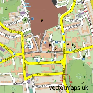
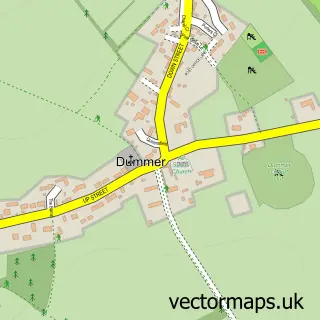
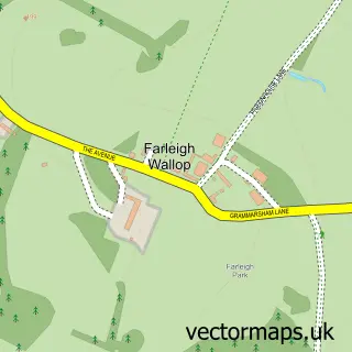
This North Waltham street map is a detailed vector street map covering a 750m x 750m area. Select a larger area to create and download your own vector street map of North Waltham.
The 750-metre map sample for North Waltham covers 228 mapped buildings and approximately 10.2 km of road detail, of which 21 named roads are named. The immediate area includes 1 school. The wider area around North Waltham features 1 tourism point of interest. To create a larger or custom map of North Waltham, the map builder lets you define your own coverage area and download editable SVG, PDF and PNG files.
Create a larger editable map of North Waltham
Choose any area you need and generate a high-quality vector map instantly. Perfect for print, planning, design, business and personal use.

This North Waltham street map in Hampshire is available as downloadable SVG, PDF and PNG map files, or as a printed map for planning, business, display, education, local information and design work. You can also create a larger custom map area using the map selector.
What this North Waltham map sample shows
North Waltham lies within North Waltham Cp parish, part of Oakley And North Waltham ward in the Basingstoke And Deane District (B) local authority area. The postcode geography for this area includes the RG postcode area, the RG25 postcode district and the RG25 2 postcode sector. Residents fall under the Nhs Hampshire And Isle Of Wight Integrated Care Board for NHS services.
Local features near North Waltham
Within 2 milesAmenities and services in and around North Waltham.
Administrative and postcode information for North Waltham
The local authority covering North Waltham is Basingstoke And Deane District (B), within the county of Hampshire. The settlement lies within Oakley And North Waltham ward and North Waltham Cp civil parish. The RG25 postcode district and RG25 2 postcode sector serve the immediate area. NHS provision in the area is delivered through Hampshire Hospitals Nhs Foundation Trust.
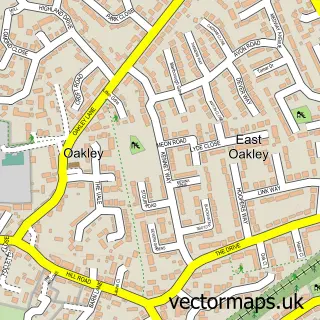
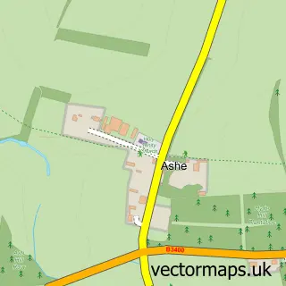
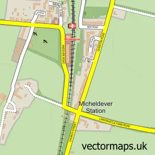
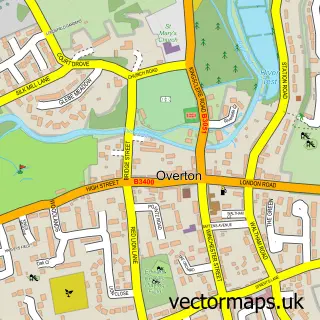
Nearby street map samples around North Waltham

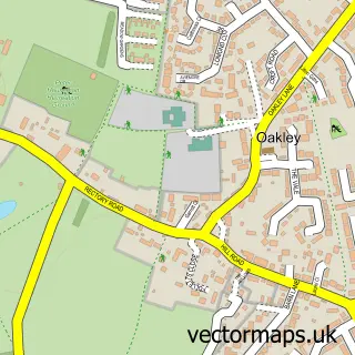
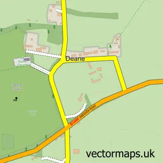
More street maps in Hampshire
750 metre map area coverage
Boundary, postcode and point of interest information for the 750m x 750m rectangle centred on this sample map.
Boundaries containing map centre
Constituency: Basingstoke Boro Const
County: Hampshire County
District: Basingstoke and Deane District (B)
Icb: NHS Hampshire and Isle of Wight ICB
Parish: North Waltham CP
Police Force: hampshire
Postcode District: RG25
Postcode Sector: RG25 2
Ward: Oakley & The Candovers Ward
Nearby boundaries intersecting sample
No additional intersecting boundaries found.
Postcode coverage
POI category counts
Building Supply Store: 2
Telecommunications: 2
Anglican Church: 1
Architectural Designer: 1
Beauty And Spa: 1
Business Consulting: 1
Child Care And Day Care: 1
Courier And Delivery Services: 1
Dj Service: 1
Elementary School: 1
Sample points of interest
- St Michael
- Rachel McCarthy Ltd
- Rock Your NailZ
- Rewire Pros
- SRG Electrical Services
- GMS Management Solutions
- Cotterell, F
- Evri ParcelShop
- Forest Flame Disco
- North Waltham Primary School
- LNS Recruitment
- R J Bull
Create a larger editable map of North Waltham
This sample shows only a 750 metre area. To create a larger map of North Waltham, use our map builder to choose your own coverage area, add titles and download editable SVG, PDF and PNG files.
Create a custom map of North Waltham