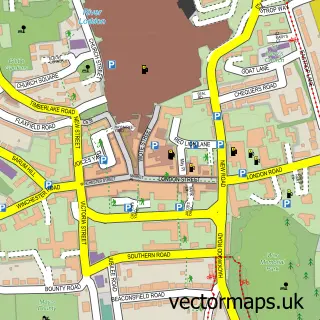
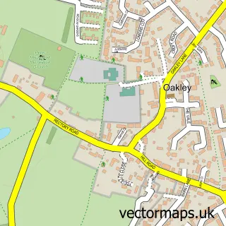
This Dummer street map is a detailed vector street map covering a 750m x 750m area. Select a larger area to create and download your own vector street map of Dummer.
The 750-metre map sample for Dummer covers 121 mapped buildings and approximately 6.2 km of road detail, of which 8 named roads are named. The immediate area includes 2 pubs and 1 MOT station within 2 miles. The wider area around Dummer features 2 food and drink venues. To create a larger or custom map of Dummer, the map builder lets you define your own coverage area and download editable SVG, PDF and PNG files.
Create a larger editable map of Dummer
Choose any area you need and generate a high-quality vector map instantly. Perfect for print, planning, design, business and personal use.

This Dummer street map in Hampshire is available as downloadable SVG, PDF and PNG map files, or as a printed map for planning, business, display, education, local information and design work. You can also create a larger custom map area using the map selector.
What this Dummer map sample shows
Dummer lies within Dummer Cp parish, part of Oakley And North Waltham ward in the Basingstoke And Deane District (B) local authority area. The postcode geography for this area includes the RG postcode area, the RG25 postcode district and the RG25 2 postcode sector. Residents fall under the Nhs Hampshire And Isle Of Wight Integrated Care Board for NHS services.
Local features near Dummer
Within 2 milesAmenities and services in and around Dummer.
Administrative and postcode information for Dummer
Dummer lies within Dummer Cp parish, part of Oakley And North Waltham ward in the Basingstoke And Deane District (B) local authority area. The postcode geography for this area includes the RG postcode area, the RG25 postcode district and the RG25 2 postcode sector. Residents fall under the Nhs Hampshire And Isle Of Wight Integrated Care Board for NHS services.
Nearby street map samples around Dummer

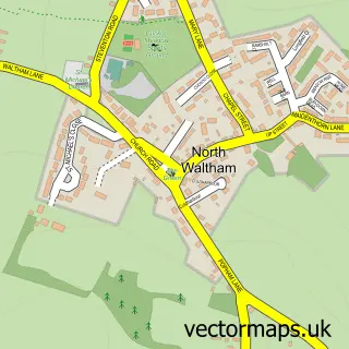
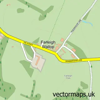
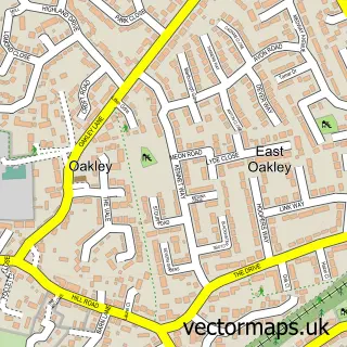

More street maps in Hampshire
750 metre map area coverage
Boundary, postcode and point of interest information for the 750m x 750m rectangle centred on this sample map.
Boundaries containing map centre
Constituency: East Hampshire Co Const
County: Hampshire County
District: Basingstoke and Deane District (B)
Icb: NHS Hampshire and Isle of Wight ICB
Parish: Dummer CP
Police Force: hampshire
Postcode District: RG25
Postcode Sector: RG25 2
Ward: Oakley & The Candovers Ward
Nearby boundaries intersecting sample
No additional intersecting boundaries found.
Postcode coverage
POI category counts
Education: 2
Pub: 2
Anglican Church: 1
Domestic Business And Trade Organizations: 1
Family Counselor: 1
Financial Service: 1
Gardener: 1
Golf Instructor: 1
Grain Production: 1
Gym: 1
Sample points of interest
- All Saints
- Precision Rehab Ltd.
- Independent Schools Bursars Association
- Muddy Puddle Club CIC
- Christine Northam Counselling
- Gibson Financial Services
- Imagination Design
- Basingstoke GC Pro Shop
- Dummer Golf Club
- MummaBfit
- Robins Row
- Queen Inn
Create a larger editable map of Dummer
This sample shows only a 750 metre area. To create a larger map of Dummer, use our map builder to choose your own coverage area, add titles and download editable SVG, PDF and PNG files.
Create a custom map of Dummer