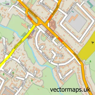
This Pillerton Hersey street map is a detailed vector street map covering a 750m x 750m area. Select a larger area to create and download your own vector street map of Pillerton Hersey.
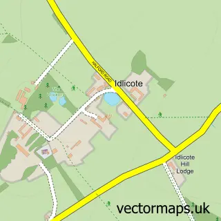
The 750-metre map sample for Pillerton Hersey covers 93 mapped buildings and approximately 16.6 km of road detail, of which 2 named roads are named. The immediate area includes 1 MOT station within 2 miles. To create a larger or custom map of Pillerton Hersey, the map builder lets you define your own coverage area and download editable SVG, PDF and PNG files.
Create a larger editable map of Pillerton Hersey
Choose any area you need and generate a high-quality vector map instantly. Perfect for print, planning, design, business and personal use.

This Pillerton Hersey street map in Warwickshire is available as downloadable SVG, PDF and PNG map files, or as a printed map for planning, business, display, education, local information and design work. You can also create a larger custom map area using the map selector.
What this Pillerton Hersey map sample shows
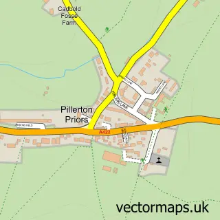
Pillerton Hersey lies within Pillerton Hersey Cp parish, part of Ettington ward in the Stratford-On-Avon District local authority area. The postcode geography for this area includes the CV postcode area, the CV35 postcode district and the CV35 0 postcode sector. Residents fall under the Nhs Coventry And Warwickshire Integrated Care Board for NHS services.
Local features near Pillerton Hersey
Within 2 milesAmenities and services in and around Pillerton Hersey.
Administrative and postcode information for Pillerton Hersey
The local authority covering Pillerton Hersey is Stratford-On-Avon District, within the county of Warwickshire. The settlement lies within Ettington ward and Pillerton Hersey Cp civil parish. The CV35 postcode district and CV35 0 postcode sector serve the immediate area. NHS provision in the area is delivered through South Warwickshire University Nhs Foundation Trust.
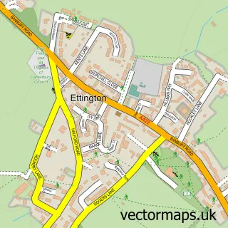
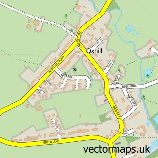
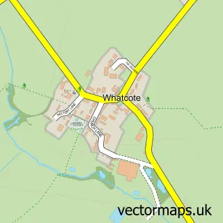
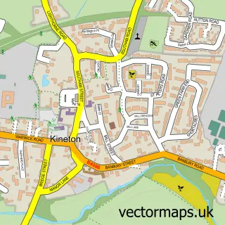
Nearby street map samples around Pillerton Hersey

More street maps in Warwickshire
750 metre map area coverage
Boundary, postcode and point of interest information for the 750m x 750m rectangle centred on this sample map.
Boundaries containing map centre
Constituency: Stratford-on-Avon Co Const
County: Warwickshire County
District: Stratford-on-Avon District
Icb: NHS Coventry and Warwickshire ICB
Parish: Pillerton Hersey CP
Police Force: warwickshire
Postcode District: CV35
Postcode Sector: CV35 0
Ward: Tysoe Ward
Nearby boundaries intersecting sample
Parish: Pillerton Priors CP
Postcode coverage
POI category counts
Adult Education: 1
Anglican Church: 1
Cottage: 1
Ethical Grocery: 1
Public And Government Association: 1
Self Storage Facility: 1
Storage Facility: 1
Sample points of interest
- Borland Quarter Horses
- Pillerton Hersey with Pillerton Priors - St. Mary
- Carpenters Barn Self Catering Cottage
- Piccolo Mondo Italian Coffee
- Pillerton Hersey Parish Council
- Ark Storage Archive & Document Store
- Ark Storage Archive and Document Store
Create a larger editable map of Pillerton Hersey
This sample shows only a 750 metre area. To create a larger map of Pillerton Hersey, use our map builder to choose your own coverage area, add titles and download editable SVG, PDF and PNG files.
Create a custom map of Pillerton Hersey