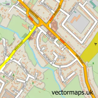
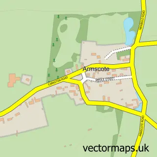
This Ettington street map is a detailed vector street map covering a 750m x 750m area. Select a larger area to create and download your own vector street map of Ettington.
The 750-metre map sample for Ettington covers 312 mapped buildings and approximately 22.2 km of road detail, of which 23 named roads are named. The immediate area includes 1 school and 1 MOT station within 2 miles. The wider area around Ettington features 1 food and drink venue. To create a larger or custom map of Ettington, the map builder lets you define your own coverage area and download editable SVG, PDF and PNG files.
Create a larger editable map of Ettington
Choose any area you need and generate a high-quality vector map instantly. Perfect for print, planning, design, business and personal use.

This Ettington street map in Warwickshire is available as downloadable SVG, PDF and PNG map files, or as a printed map for planning, business, display, education, local information and design work. You can also create a larger custom map area using the map selector.
What this Ettington map sample shows
Ettington lies within Ettington Cp parish, part of Ettington ward in the Stratford-On-Avon District local authority area. The postcode geography for this area includes the CV postcode area, the CV37 postcode district and the CV37 7 postcode sector. Residents fall under the Nhs Coventry And Warwickshire Integrated Care Board for NHS services.
Local features near Ettington
Within 2 milesAmenities and services in and around Ettington.
Administrative and postcode information for Ettington
The local authority covering Ettington is Stratford-On-Avon District, within the county of Warwickshire. The settlement lies within Ettington ward and Ettington Cp civil parish. The CV37 postcode district and CV37 7 postcode sector serve the immediate area. NHS provision in the area is delivered through South Warwickshire University Nhs Foundation Trust.
Nearby street map samples around Ettington

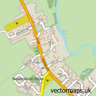
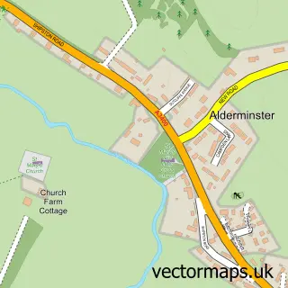
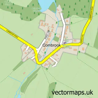
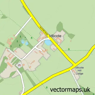
More street maps in Warwickshire
750 metre map area coverage
Boundary, postcode and point of interest information for the 750m x 750m rectangle centred on this sample map.
Boundaries containing map centre
Constituency: Stratford-on-Avon Co Const
County: Warwickshire County
District: Stratford-on-Avon District
Icb: NHS Coventry and Warwickshire ICB
Parish: Ettington CP
Police Force: warwickshire
Postcode District: CV37
Postcode Sector: CV37 7
Ward: Tredington Ward
Nearby boundaries intersecting sample
No additional intersecting boundaries found.
Postcode coverage
POI category counts
Post Office: 3
Beauty Salon: 2
Building Supply Store: 2
Contractor: 2
Convenience Store: 2
Accountant: 1
Bakery: 1
Bed And Breakfast: 1
Church Cathedral: 1
Clothing Store: 1
Sample points of interest
- Avon Accountancy Limited
- Sugar Filled Dreams
- Me My Brow & Eye
- The Beauty Room
- Orchard House
- Fig and Lemon Interiors
- Henley Plumbing & Heating
- Ettington Church
- Apache Fitness
- Ettington Garden Cafe
- Ettington Community Centre
- Acorn Plastering Services
Create a larger editable map of Ettington
This sample shows only a 750 metre area. To create a larger map of Ettington, use our map builder to choose your own coverage area, add titles and download editable SVG, PDF and PNG files.
Create a custom map of Ettington