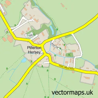
This Pillerton Priors street map is a detailed vector street map covering a 750m x 750m area. Select a larger area to create and download your own vector street map of Pillerton Priors.
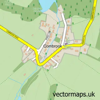
The 750-metre map sample for Pillerton Priors covers 121 mapped buildings and approximately 26.3 km of road detail, of which 5 named roads are named. The immediate area includes 1 MOT station within 2 miles. To create a larger or custom map of Pillerton Priors, the map builder lets you define your own coverage area and download editable SVG, PDF and PNG files.
Create a larger editable map of Pillerton Priors
Choose any area you need and generate a high-quality vector map instantly. Perfect for print, planning, design, business and personal use.

This Pillerton Priors street map in Warwickshire is available as downloadable SVG, PDF and PNG map files, or as a printed map for planning, business, display, education, local information and design work. You can also create a larger custom map area using the map selector.
What this Pillerton Priors map sample shows
Pillerton Priors lies within Pillerton Priors Cp parish, part of Ettington ward in the Stratford-On-Avon District local authority area. The postcode geography for this area includes the CV postcode area, the CV35 postcode district and the CV35 0 postcode sector. Residents fall under the Nhs Coventry And Warwickshire Integrated Care Board for NHS services.
Local features near Pillerton Priors
Within 2 milesAmenities and services in and around Pillerton Priors.
Administrative and postcode information for Pillerton Priors
Pillerton Priors lies within Pillerton Priors Cp parish, part of Ettington ward in the Stratford-On-Avon District local authority area. The postcode geography for this area includes the CV postcode area, the CV35 postcode district and the CV35 0 postcode sector. Residents fall under the Nhs Coventry And Warwickshire Integrated Care Board for NHS services.
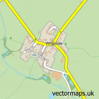
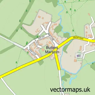
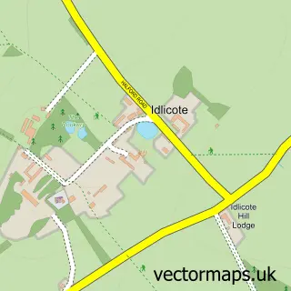
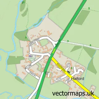
Nearby street map samples around Pillerton Priors
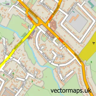

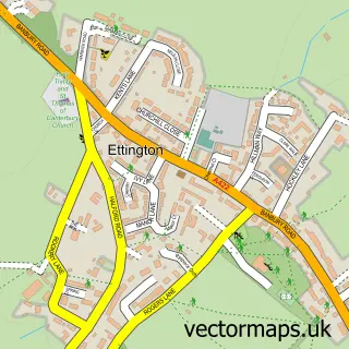
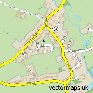
More street maps in Warwickshire
750 metre map area coverage
Boundary, postcode and point of interest information for the 750m x 750m rectangle centred on this sample map.
Boundaries containing map centre
Constituency: Stratford-on-Avon Co Const
County: Warwickshire County
District: Stratford-on-Avon District
Icb: NHS Coventry and Warwickshire ICB
Parish: Pillerton Priors CP
Police Force: warwickshire
Postcode District: CV35
Postcode Sector: CV35 0
Ward: Tysoe Ward
Nearby boundaries intersecting sample
No additional intersecting boundaries found.
Postcode coverage
POI category counts
Building Supply Store: 1
Dog Walkers: 1
Flowers And Gifts Shop: 1
Gas Station: 1
Laboratory Equipment Supplier: 1
Pet Services: 1
Scout Hall: 1
Tanning Salon: 1
Sample points of interest
- R.J THOMPSON BUILDING SERVICES LTD
- Pillerton Paws
- Shabby Shack
- Murco
- Lightscope Services
- Four Paws Pet Services
- Pillerton Scout Group
- Beau Visage
Create a larger editable map of Pillerton Priors
This sample shows only a 750 metre area. To create a larger map of Pillerton Priors, use our map builder to choose your own coverage area, add titles and download editable SVG, PDF and PNG files.
Create a custom map of Pillerton Priors