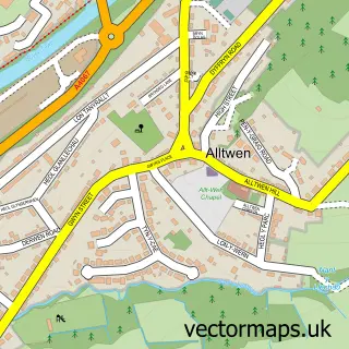
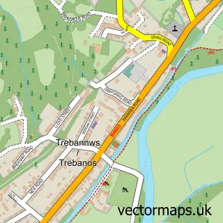
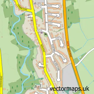
This Pontardawe street map is a detailed vector street map covering a 750m x 750m area. Select a larger area to create and download your own vector street map of Pontardawe.
The 750-metre map sample for Pontardawe covers 474 mapped buildings and approximately 22.1 km of road detail, of which 45 named roads are named. The immediate area includes 1 GP surgery, 2 pubs and 2 MOT stations, with 6 within 2 miles. The wider area around Pontardawe features 4 tourism points of interest, 12 food and drink venues and 4 hotels. To create a larger or custom map of Pontardawe, the map builder lets you define your own coverage area and download editable SVG, PDF and PNG files.
Create a larger editable map of Pontardawe
Choose any area you need and generate a high-quality vector map instantly. Perfect for print, planning, design, business and personal use.

This Pontardawe street map in West Glamorgan is available as downloadable SVG, PDF and PNG map files, or as a printed map for planning, business, display, education, local information and design work. You can also create a larger custom map area using the map selector.
What this Pontardawe map sample shows
Pontardawe lies within Pontardawe Community parish, part of Pontardawe ward in the Castell-Nedd Port Talbot - Neath Port Talbot local authority area. The postcode geography for this area includes the SA postcode area, the SA8 postcode district and the SA8 4 postcode sector. Residents fall under the Swansea Bay University Local Health Board for NHS services.
Local features near Pontardawe
Within 2 milesAmenities and services in and around Pontardawe.
Administrative and postcode information for Pontardawe
Pontardawe lies within Pontardawe Community parish, part of Pontardawe ward in the Castell-Nedd Port Talbot - Neath Port Talbot local authority area. The postcode geography for this area includes the SA postcode area, the SA8 postcode district and the SA8 4 postcode sector. Residents fall under the Swansea Bay University Local Health Board for NHS services.
Nearby street map samples around Pontardawe

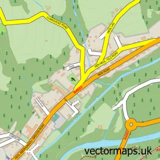
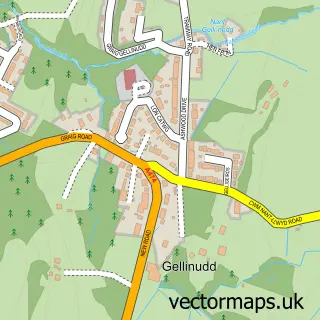
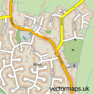
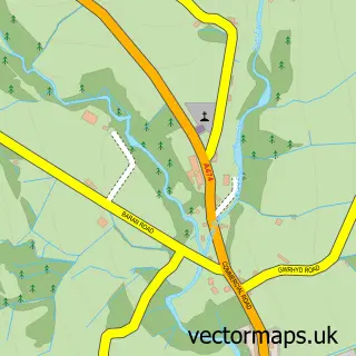
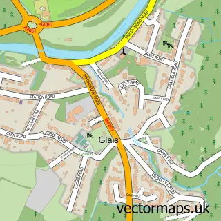
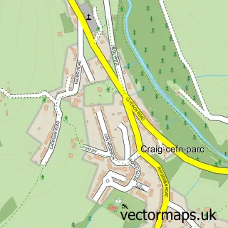
More street maps in West Glamorgan
750 metre map area coverage
Boundary, postcode and point of interest information for the 750m x 750m rectangle centred on this sample map.
Boundaries containing map centre
Constituency: Brecon, Radnor and Cwm Tawe Co Const
District: Castell-nedd Port Talbot - Neath Port Talbot
Icb: Abertawe Bro Morgannwg University
Parish: Pontardawe Community
Police Force: south wales
Postcode District: SA8
Postcode Sector: SA8 4
Nearby boundaries intersecting sample
Parish: Cilybebyll Community
Postcode Sector: SA8 3
Postcode coverage
POI category counts
Automotive Repair: 7
Flowers And Gifts Shop: 7
Building Supply Store: 6
Beauty Salon: 5
Cafe: 5
Hair Salon: 5
Professional Services: 5
Barber: 4
Convenience Store: 4
Hotel: 4
Sample points of interest
- Earthkeeper Crystal Therapy
- Pontardawe Indoor Bowls Club
- Jones Planning
- Oriel Lliw Gallery
- Hermanus
- Morrisons Daily - Pontardawe, Pontardawe
- RSV Off Licence (LBG)
- Welsh Auctions
- Liquid Paintworks
- Them Paint Guys Limited
- Flawless Detailing LTD.
- A & M Garage
Create a larger editable map of Pontardawe
This sample shows only a 750 metre area. To create a larger map of Pontardawe, use our map builder to choose your own coverage area, add titles and download editable SVG, PDF and PNG files.
Create a custom map of Pontardawe