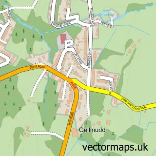
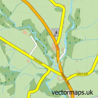
This Ynysmeudwy street map is a detailed vector street map covering a 750m x 750m area. Select a larger area to create and download your own vector street map of Ynysmeudwy.
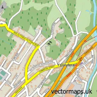
The 750-metre map sample for Ynysmeudwy covers 200 mapped buildings and approximately 15.2 km of road detail, of which 12 named roads are named. The immediate area includes 1 school, 1 GP surgery within 2 miles and 1 MOT station, with 7 within 2 miles. The wider area around Ynysmeudwy features 1 tourism point of interest. To create a larger or custom map of Ynysmeudwy, the map builder lets you define your own coverage area and download editable SVG, PDF and PNG files.
Create a larger editable map of Ynysmeudwy
Choose any area you need and generate a high-quality vector map instantly. Perfect for print, planning, design, business and personal use.

This Ynysmeudwy street map in West Glamorgan is available as downloadable SVG, PDF and PNG map files, or as a printed map for planning, business, display, education, local information and design work. You can also create a larger custom map area using the map selector.
What this Ynysmeudwy map sample shows
Ynysmeudwy lies within Pontardawe Community parish, part of Pontardawe ward in the Castell-Nedd Port Talbot - Neath Port Talbot local authority area. The postcode geography for this area includes the SA postcode area, the SA8 postcode district and the SA8 4 postcode sector. Residents fall under the Swansea Bay University Local Health Board for NHS services.
Local features near Ynysmeudwy
Within 2 milesAmenities and services in and around Ynysmeudwy.
Administrative and postcode information for Ynysmeudwy
The local authority covering Ynysmeudwy is Castell-Nedd Port Talbot - Neath Port Talbot, within the county of West Glamorgan. The settlement lies within Pontardawe ward and Pontardawe Community civil parish. The SA8 postcode district and SA8 4 postcode sector serve the immediate area. NHS provision in the area is delivered through Swansea Bay University Health Board.
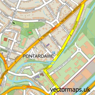
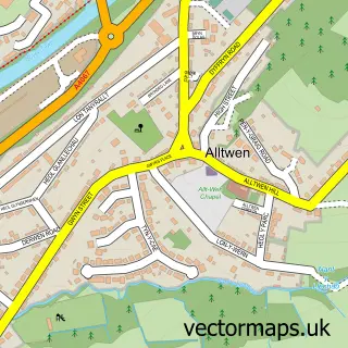
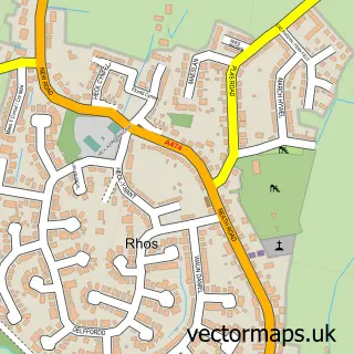
Nearby street map samples around Ynysmeudwy

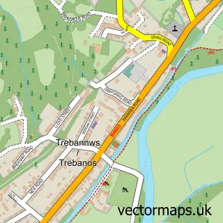
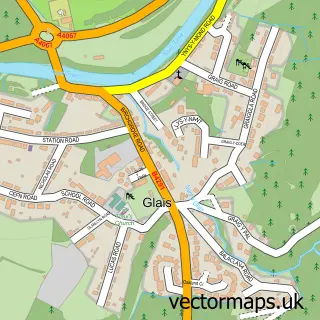
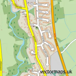
More street maps in West Glamorgan
750 metre map area coverage
Boundary, postcode and point of interest information for the 750m x 750m rectangle centred on this sample map.
Boundaries containing map centre
Constituency: Brecon, Radnor and Cwm Tawe Co Const
District: Castell-nedd Port Talbot - Neath Port Talbot
Icb: Abertawe Bro Morgannwg University
Parish: Pontardawe Community
Police Force: south wales
Postcode District: SA8
Postcode Sector: SA8 4
Nearby boundaries intersecting sample
Parish: Cilybebyll Community
Postcode Sector: SA8 3
Postcode coverage
POI category counts
Alternative Medicine: 3
Antique Store: 2
Automotive Repair: 1
Beauty Salon: 1
Brewery: 1
Community Center: 1
Day Care Preschool: 1
Elementary School: 1
Home Service: 1
Land Surveying: 1
Sample points of interest
- Complementary Therapy Clinic
- Complementary Therapy Clinic
- Start Loving Yourself
- Pendragon
- Pendragon
- Gould's Vehicle Service and Repair
- Brideology
- Little Goat Brewery
- Ynysmeudwy Community Hall
- Munchkinos Childminding
- Llangiwg Primary School
- Clwb Ponty Kids Club
Create a larger editable map of Ynysmeudwy
This sample shows only a 750 metre area. To create a larger map of Ynysmeudwy, use our map builder to choose your own coverage area, add titles and download editable SVG, PDF and PNG files.
Create a custom map of Ynysmeudwy