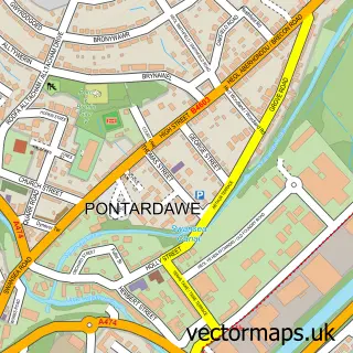
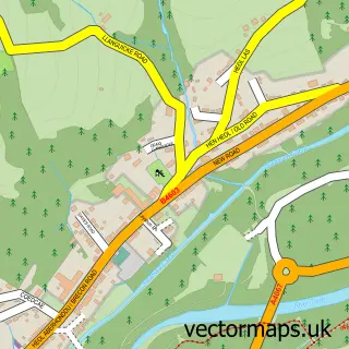
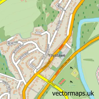
This Trebanos street map is a detailed vector street map covering a 750m x 750m area. Select a larger area to create and download your own vector street map of Trebanos.
The 750-metre map sample for Trebanos covers 279 mapped buildings and approximately 10.3 km of road detail, of which 12 named roads are named. The immediate area includes 1 school, 1 GP surgery within 2 miles, 1 pub and 8 MOT stations within 2 miles. The wider area around Trebanos features 2 tourism points of interest and 2 food and drink venues. To create a larger or custom map of Trebanos, the map builder lets you define your own coverage area and download editable SVG, PDF and PNG files.
Create a larger editable map of Trebanos
Choose any area you need and generate a high-quality vector map instantly. Perfect for print, planning, design, business and personal use.

This Trebanos street map in West Glamorgan is available as downloadable SVG, PDF and PNG map files, or as a printed map for planning, business, display, education, local information and design work. You can also create a larger custom map area using the map selector.
What this Trebanos map sample shows
Trebanos lies within Pontardawe Community parish, part of Pontardawe ward in the Castell-Nedd Port Talbot - Neath Port Talbot local authority area. The postcode geography for this area includes the SA postcode area, the SA8 postcode district and the SA8 4 postcode sector. Residents fall under the Swansea Bay University Local Health Board for NHS services.
Local features near Trebanos
Within 2 milesAmenities and services in and around Trebanos.
Administrative and postcode information for Trebanos
The local authority covering Trebanos is Castell-Nedd Port Talbot - Neath Port Talbot, within the county of West Glamorgan. The settlement lies within Pontardawe ward and Pontardawe Community civil parish. The SA8 postcode district and SA8 4 postcode sector serve the immediate area. NHS provision in the area is delivered through Swansea Bay University Health Board.
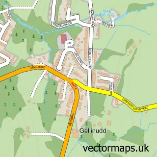
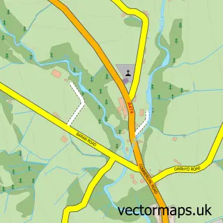
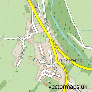
Nearby street map samples around Trebanos

More street maps in West Glamorgan
750 metre map area coverage
Boundary, postcode and point of interest information for the 750m x 750m rectangle centred on this sample map.
Boundaries containing map centre
Constituency: Brecon, Radnor and Cwm Tawe Co Const
District: Castell-nedd Port Talbot - Neath Port Talbot
Icb: Abertawe Bro Morgannwg University
Parish: Pontardawe Community
Police Force: south wales
Postcode District: SA8
Postcode Sector: SA8 4
Nearby boundaries intersecting sample
Parish: Cilybebyll Community
Postcode District: SA7
Postcode Sector: SA7 9
Postcode coverage
POI category counts
Assisted Living Facility: 2
Currency Exchange: 2
Gas Station: 2
Attractions And Activities: 1
Auto Company: 1
Building Supply Store: 1
Business Management Services: 1
Chicken Restaurant: 1
Chinese Restaurant: 1
Church Cathedral: 1
Sample points of interest
- Pathways Trebanos
- Trucks Care
- Graig Trebanos Community Hub & Garden
- YellowStar Kustom Kampers
- Derek Evans Floor Laying
- Selclene Wandsworth
- Fat Boy Wingz - Pontardawe
- Double Happiness
- St Michaels Church
- Lock 4 Coffee Shop
- Hackett Carpentry and Construction
- Londis
Create a larger editable map of Trebanos
This sample shows only a 750 metre area. To create a larger map of Trebanos, use our map builder to choose your own coverage area, add titles and download editable SVG, PDF and PNG files.
Create a custom map of Trebanos