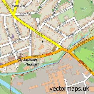
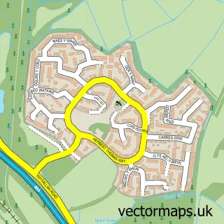
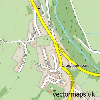
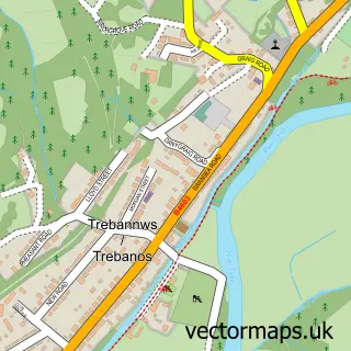
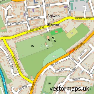
This Ynystawe street map is a detailed vector street map covering a 750m x 750m area. Select a larger area to create and download your own vector street map of Ynystawe.
The 750-metre map sample for Ynystawe covers 310 mapped buildings and approximately 21.6 km of road detail, of which 15 named roads are named. The immediate area includes 1 school, 2 GP surgeries within 2 miles, 1 pub and 17 MOT stations within 2 miles. The wider area around Ynystawe features 1 tourism point of interest and 3 food and drink venues. To create a larger or custom map of Ynystawe, the map builder lets you define your own coverage area and download editable SVG, PDF and PNG files.
Create a larger editable map of Ynystawe
Choose any area you need and generate a high-quality vector map instantly. Perfect for print, planning, design, business and personal use.

This Ynystawe street map in West Glamorgan is available as downloadable SVG, PDF and PNG map files, or as a printed map for planning, business, display, education, local information and design work. You can also create a larger custom map area using the map selector.
What this Ynystawe map sample shows
Ynystawe lies within Clydach Community parish, part of Clydach ward in the Abertawe - Swansea local authority area. The postcode geography for this area includes the SA postcode area, the SA6 postcode district and the SA6 5 postcode sector. Residents fall under the Swansea Bay University Local Health Board for NHS services.
Local features near Ynystawe
Within 2 milesAmenities and services in and around Ynystawe.
Administrative and postcode information for Ynystawe
Ynystawe lies within Clydach Community parish, part of Clydach ward in the Abertawe - Swansea local authority area. The postcode geography for this area includes the SA postcode area, the SA6 postcode district and the SA6 5 postcode sector. Residents fall under the Swansea Bay University Local Health Board for NHS services.
Nearby street map samples around Ynystawe

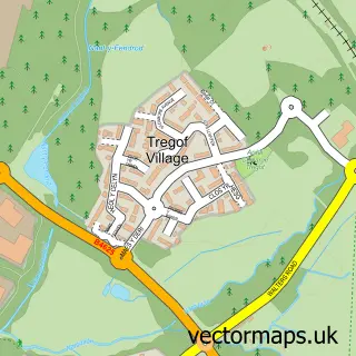
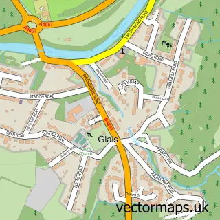
More street maps in West Glamorgan
750 metre map area coverage
Boundary, postcode and point of interest information for the 750m x 750m rectangle centred on this sample map.
Boundaries containing map centre
Constituency: Swansea West Co Const
District: Abertawe - Swansea
Icb: Abertawe Bro Morgannwg University
Parish: Morriston Community
Police Force: south wales
Postcode District: SA6
Postcode Sector: SA6 5
Nearby boundaries intersecting sample
Constituency: Neath and Swansea East Co Const
Parish: Birchgrove Community, Clydach Community
Postcode Sector: SA6 6
Postcode coverage
POI category counts
Building Supply Store: 2
Architect: 1
Astrologer: 1
Beauty Salon: 1
Coffee Shop: 1
Elementary School: 1
It Service And Computer Repair: 1
Logging Services: 1
Park: 1
Pub: 1
Sample points of interest
- Starki Ltd.
- Matthew Jones Psychic & Clairvoyant
- Holistic and Beauty Therapy
- ABS Fencing Specialists
- Swansea Home Improvements
- No 6 Hundred
- Ynystawe Primary School
- Howells Network Systems
- Grounded Trees & Ecology
- Ynystawe Park
- The Millers Arms
- Food By Sean No600
Create a larger editable map of Ynystawe
This sample shows only a 750 metre area. To create a larger map of Ynystawe, use our map builder to choose your own coverage area, add titles and download editable SVG, PDF and PNG files.
Create a custom map of Ynystawe