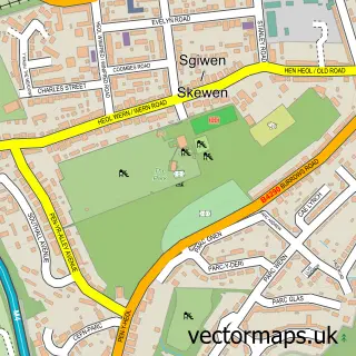
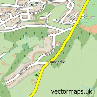
This Parc Bryn Heulog street map is a detailed vector street map covering a 750m x 750m area. Select a larger area to create and download your own vector street map of Parc Bryn Heulog.
The 750-metre map sample for Parc Bryn Heulog covers 303 mapped buildings and approximately 14.4 km of road detail, of which 12 named roads are named. The immediate area includes 2 GP surgeries within 2 miles and 25 MOT stations within 2 miles. The wider area around Parc Bryn Heulog features 1 tourism point of interest. To create a larger or custom map of Parc Bryn Heulog, the map builder lets you define your own coverage area and download editable SVG, PDF and PNG files.
Create a larger editable map of Parc Bryn Heulog
Choose any area you need and generate a high-quality vector map instantly. Perfect for print, planning, design, business and personal use.

This Parc Bryn Heulog street map in West Glamorgan is available as downloadable SVG, PDF and PNG map files, or as a printed map for planning, business, display, education, local information and design work. You can also create a larger custom map area using the map selector.
What this Parc Bryn Heulog map sample shows
Parc Bryn Heulog lies within Llansamlet Community parish, part of Llansamlet ward in the Abertawe - Swansea local authority area. The postcode geography for this area includes the SA postcode area, the SA7 postcode district and the SA7 9 postcode sector. Residents fall under the Swansea Bay University Local Health Board for NHS services.
Local features near Parc Bryn Heulog
Within 2 milesAmenities and services in and around Parc Bryn Heulog.
Administrative and postcode information for Parc Bryn Heulog
Parc Bryn Heulog lies within Llansamlet Community parish, part of Llansamlet ward in the Abertawe - Swansea local authority area. The postcode geography for this area includes the SA postcode area, the SA7 postcode district and the SA7 9 postcode sector. Residents fall under the Swansea Bay University Local Health Board for NHS services.
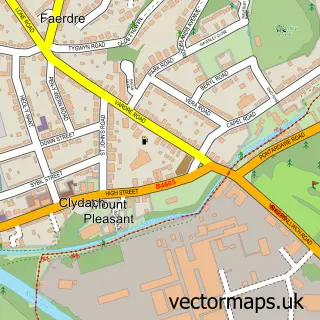
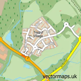
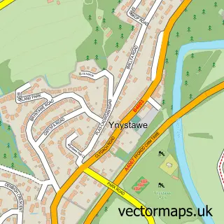
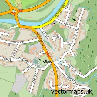
Nearby street map samples around Parc Bryn Heulog

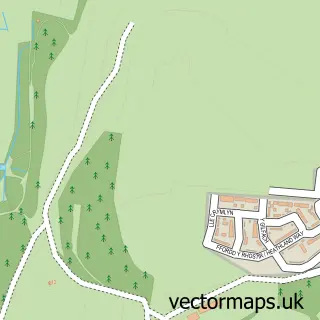
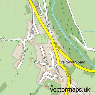
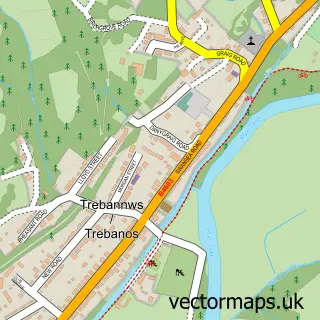
More street maps in West Glamorgan
750 metre map area coverage
Boundary, postcode and point of interest information for the 750m x 750m rectangle centred on this sample map.
Boundaries containing map centre
Constituency: Neath and Swansea East Co Const
District: Abertawe - Swansea
Icb: Abertawe Bro Morgannwg University
Parish: Birchgrove Community
Police Force: south wales
Postcode District: SA7
Postcode Sector: SA7 0
Nearby boundaries intersecting sample
Parish: Llansamlet Community
Postcode Sector: SA7 9
Postcode coverage
POI category counts
Contractor: 3
Building Supply Store: 2
Transportation: 2
Appliance Repair Service: 1
Business Advertising: 1
Counseling And Mental Health: 1
Driving School: 1
Electrician: 1
Elementary School: 1
Event Technology Service: 1
Sample points of interest
- Cambrian Refrigeration
- Aqua Plumbing & Air Source
- Lewco Plumbing Heating
- Northey Digital Ltd
- Abertawe Plasterers
- Hentons Home Improvements
- Wright and Phillips Carpentry and Building
- Swansea Sports Therapies
- Tez's Driving School
- P&M Electrical Ltd
- Llanrhidian Primary School
- Bouncy Hire Swansea
Create a larger editable map of Parc Bryn Heulog
This sample shows only a 750 metre area. To create a larger map of Parc Bryn Heulog, use our map builder to choose your own coverage area, add titles and download editable SVG, PDF and PNG files.
Create a custom map of Parc Bryn Heulog