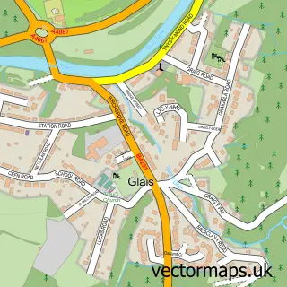
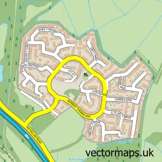
This Clydach street map is a detailed vector street map covering a 750m x 750m area. Select a larger area to create and download your own vector street map of Clydach.
The 750-metre map sample for Clydach covers 422 mapped buildings and approximately 13.5 km of road detail, of which 26 named roads are named. The immediate area includes 2 pubs and 2 MOT stations, with 5 within 2 miles. The wider area around Clydach features 1 tourism point of interest and 9 food and drink venues. To create a larger or custom map of Clydach, the map builder lets you define your own coverage area and download editable SVG, PDF and PNG files.
Create a larger editable map of Clydach
Choose any area you need and generate a high-quality vector map instantly. Perfect for print, planning, design, business and personal use.

This Clydach street map in West Glamorgan is available as downloadable SVG, PDF and PNG map files, or as a printed map for planning, business, display, education, local information and design work. You can also create a larger custom map area using the map selector.
What this Clydach map sample shows
Clydach lies within Clydach Community parish, part of Clydach ward in the Abertawe - Swansea local authority area. The postcode geography for this area includes the SA postcode area, the SA6 postcode district and the SA6 5 postcode sector. Residents fall under the Swansea Bay University Local Health Board for NHS services.
Local features near Clydach
Within 2 milesAmenities and services in and around Clydach.
Administrative and postcode information for Clydach
Clydach lies within Clydach Community parish, part of Clydach ward in the Abertawe - Swansea local authority area. The postcode geography for this area includes the SA postcode area, the SA6 postcode district and the SA6 5 postcode sector. Residents fall under the Swansea Bay University Local Health Board for NHS services.
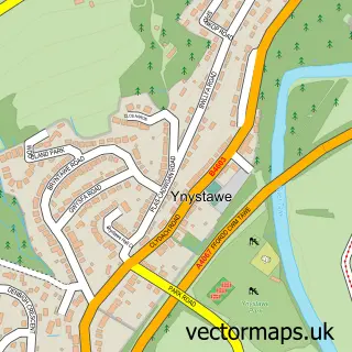
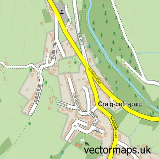
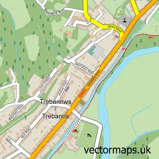
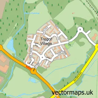
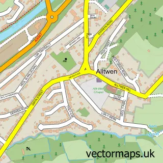
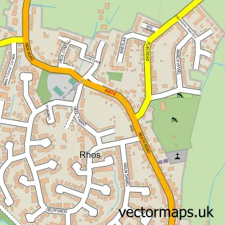
Nearby street map samples around Clydach

More street maps in West Glamorgan
750 metre map area coverage
Boundary, postcode and point of interest information for the 750m x 750m rectangle centred on this sample map.
Boundaries containing map centre
Constituency: Neath and Swansea East Co Const
District: Abertawe - Swansea
Icb: Abertawe Bro Morgannwg University
Parish: Clydach Community
Police Force: south wales
Postcode District: SA6
Postcode Sector: SA6 5
Nearby boundaries intersecting sample
Parish: Birchgrove Community
Postcode District: SA7
Postcode Sector: SA7 9
Postcode coverage
POI category counts
Church Cathedral: 4
Convenience Store: 4
Atms: 3
Cafe: 3
Dentist: 3
Funeral Services And Cemeteries: 3
Tattoo And Piercing: 3
Assisted Living Facility: 2
Automotive Repair: 2
Barber: 2
Sample points of interest
- Crafty Dog Cymru
- Aston Care Homes
- Glynderwen House
- BT Kiosk o/s premier Capel Buildings- CLYDACH
- Spar Clydach, Clydach
- The Cooperative Food Clydach, Clydach
- Clydach Community Garden
- AVL Solutions
- K. M. Electrical Solutions
- East End Garage
- Horizon Valeting Services
- Cakes by Katy
Create a larger editable map of Clydach
This sample shows only a 750 metre area. To create a larger map of Clydach, use our map builder to choose your own coverage area, add titles and download editable SVG, PDF and PNG files.
Create a custom map of Clydach