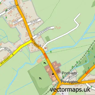
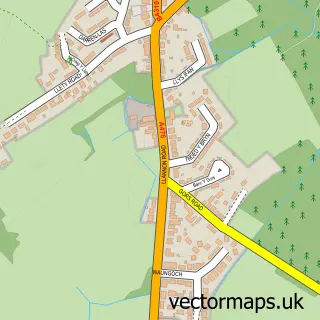
This Pontyberem street map is a detailed vector street map covering a 750m x 750m area. Select a larger area to create and download your own vector street map of Pontyberem.
The 750-metre map sample for Pontyberem covers 166 mapped buildings and approximately 8.8 km of road detail, of which 11 named roads are named. The immediate area includes 1 school and 2 MOT stations within 2 miles. The wider area around Pontyberem features 3 tourism points of interest and 1 food and drink venue. To create a larger or custom map of Pontyberem, the map builder lets you define your own coverage area and download editable SVG, PDF and PNG files.
Create a larger editable map of Pontyberem
Choose any area you need and generate a high-quality vector map instantly. Perfect for print, planning, design, business and personal use.

This Pontyberem street map in Dyfed is available as downloadable SVG, PDF and PNG map files, or as a printed map for planning, business, display, education, local information and design work. You can also create a larger custom map area using the map selector.
What this Pontyberem map sample shows
Pontyberem lies within Pontyberem Community parish, part of Pontyberem ward in the Sir Gaerfyrddin - Carmarthenshire local authority area. The postcode geography for this area includes the SA postcode area, the SA15 postcode district and the SA15 5 postcode sector. Residents fall under the Hywel Dda University Health Board for NHS services.
Local features near Pontyberem
Within 2 milesAmenities and services in and around Pontyberem.
Administrative and postcode information for Pontyberem
The local authority covering Pontyberem is Sir Gaerfyrddin - Carmarthenshire, within the county of Dyfed. The settlement lies within Pontyberem ward and Pontyberem Community civil parish. The SA15 postcode district and SA15 5 postcode sector serve the immediate area. NHS provision in the area is delivered through Hywel Dda University Health Board.
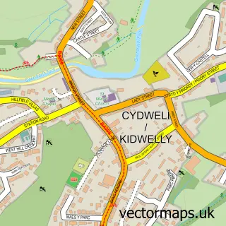
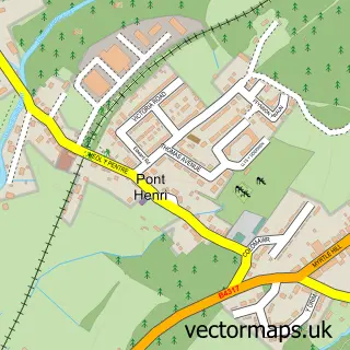
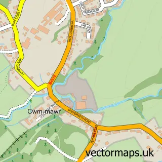
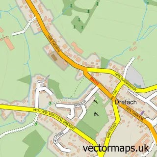
Nearby street map samples around Pontyberem

More street maps in Dyfed
750 metre map area coverage
Boundary, postcode and point of interest information for the 750m x 750m rectangle centred on this sample map.
Boundaries containing map centre
Constituency: Llanelli Co Const
District: Sir Gaerfyrddin - Carmarthenshire
Icb: Hywel Dda
Parish: Pontyberem Community
Police Force: dyfed-powys
Postcode District: SA15
Postcode Sector: SA15 5
Nearby boundaries intersecting sample
No additional intersecting boundaries found.
Postcode coverage
POI category counts
Sports Club And League: 3
Beauty Salon: 2
Massage Therapy: 2
Park: 2
Pharmacy: 2
Automotive Repair: 1
Cafe: 1
Charity Organization: 1
Chinese Restaurant: 1
Event Planning: 1
Sample points of interest
- Western Garage
- Backstage Salon
- Trim Lines Hair Salon
- Y Cwtsh
- Menter Cwm Gwendraeth
- Good Choice Cuisine - Pontyberem Chinese
- Pontyberem Memorial Hall
- Ponty Chippy
- Barrie Hughes Florist
- The Hemp Garden Ltd
- The Stables
- The New Inn
Create a larger editable map of Pontyberem
This sample shows only a 750 metre area. To create a larger map of Pontyberem, use our map builder to choose your own coverage area, add titles and download editable SVG, PDF and PNG files.
Create a custom map of Pontyberem