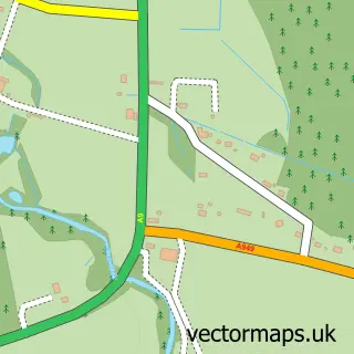
This Portmahomack street map is a detailed vector street map covering a 750m x 750m area. Select a larger area to create and download your own vector street map of Portmahomack.
The 750-metre map sample for Portmahomack covers 89 mapped buildings and approximately 9.1 km of road detail, of which 15 named roads are named. The wider area around Portmahomack features 2 food and drink venues, 1 hotel and 1 campsite within 2 miles. To create a larger or custom map of Portmahomack, the map builder lets you define your own coverage area and download editable SVG, PDF and PNG files.
Create a larger editable map of Portmahomack
Choose any area you need and generate a high-quality vector map instantly. Perfect for print, planning, design, business and personal use.

This Portmahomack street map in Ross and Cromarty is available as downloadable SVG, PDF and PNG map files, or as a printed map for planning, business, display, education, local information and design work. You can also create a larger custom map area using the map selector.
What this Portmahomack map sample shows
Portmahomack lies within Highland parish, part of Tain And Easter Ross ward in the Highland local authority area. The postcode geography for this area includes the IV postcode area, the IV20 postcode district and the IV20 1 postcode sector. Local NHS services are provided through Highland.
Local features near Portmahomack
Within 2 milesAmenities and services in and around Portmahomack.
Administrative and postcode information for Portmahomack
The local authority covering Portmahomack is Highland, within the county of Ross And Cromarty. The settlement lies within Tain And Easter Ross ward and Highland civil parish. The IV20 postcode district and IV20 1 postcode sector serve the immediate area. NHS provision in the area is delivered through Highland.
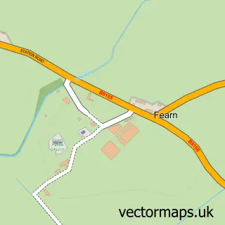
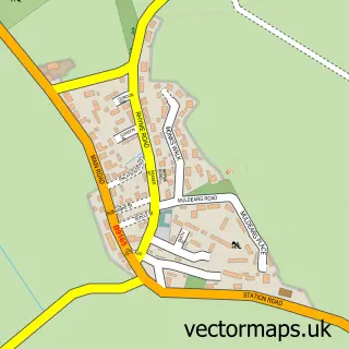
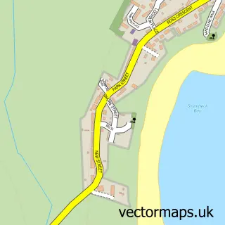
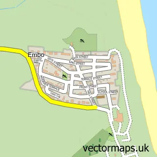
Nearby street map samples around Portmahomack
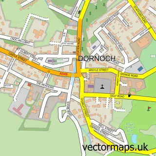

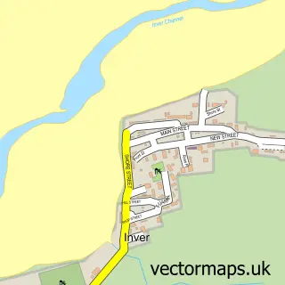
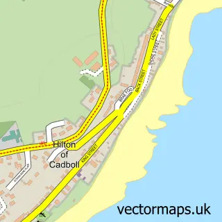
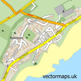
More street maps in Ross and Cromarty
750 metre map area coverage
Boundary, postcode and point of interest information for the 750m x 750m rectangle centred on this sample map.
Boundaries containing map centre
Constituency: Caithness, Sutherland and Easter Ross Co Const
District: Highland
Icb: Highland
Postcode District: IV20
Postcode Sector: IV20 1
Ward: Tain and Easter Ross Ward
Nearby boundaries intersecting sample
No additional intersecting boundaries found.
Postcode coverage
POI category counts
Bed And Breakfast: 2
Convenience Store: 2
Art Gallery: 1
Bar: 1
Beach: 1
Beauty Salon: 1
Cafe: 1
Catholic Church: 1
Community Services Non Profits: 1
Cottage: 1
Sample points of interest
- Beachfront Gallery
- Horse Shoe Tavern, Portmahomack
- Portmahomack Pier
- Scottish Boot Camp
- Bayview Holiday Cottage Portmahomack
- Caledonian House by the Sea
- Carnegie Hall cafe
- Tarbat
- Tarbat Community Hall Group, Carnegie Hall Portmahomack
- Premier
- Premier Portmahomack Convenience Store
- Harbour View Cottage, Portmahomack
Create a larger editable map of Portmahomack
This sample shows only a 750 metre area. To create a larger map of Portmahomack, use our map builder to choose your own coverage area, add titles and download editable SVG, PDF and PNG files.
Create a custom map of Portmahomack