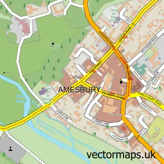
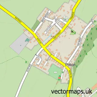
This Porton street map is a detailed vector street map covering a 750m x 750m area. Select a larger area to create and download your own vector street map of Porton.
The 750-metre map sample for Porton covers 292 mapped buildings and approximately 16.5 km of road detail, of which 18 named roads are named. The wider area around Porton features 1 tourism point of interest. To create a larger or custom map of Porton, the map builder lets you define your own coverage area and download editable SVG, PDF and PNG files.
Create a larger editable map of Porton
Choose any area you need and generate a high-quality vector map instantly. Perfect for print, planning, design, business and personal use.

This Porton street map in Wiltshire is available as downloadable SVG, PDF and PNG map files, or as a printed map for planning, business, display, education, local information and design work. You can also create a larger custom map area using the map selector.
What this Porton map sample shows
Porton lies within Idmiston Cp parish, part of Bourne And Woodford Valley ward in the Wiltshire local authority area. The postcode geography for this area includes the SP postcode area, the SP4 postcode district and the SP4 0 postcode sector. Residents fall under the Nhs Bath And North East Somerset, Swindon And Wiltshire Integrated Care Board for NHS services.
Local features near Porton
Within 2 milesAmenities and services in and around Porton.
Administrative and postcode information for Porton
The local authority covering Porton is Wiltshire, within the county of Wiltshire. The settlement lies within Bourne And Woodford Valley ward and Idmiston Cp civil parish. The SP4 postcode district and SP4 0 postcode sector serve the immediate area. NHS provision in the area is delivered through Salisbury Nhs Foundation Trust.
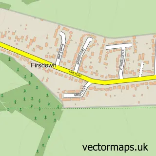
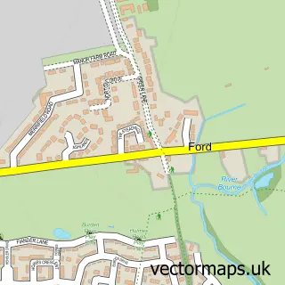
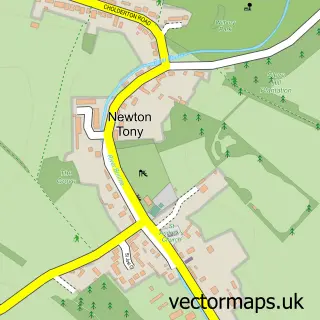
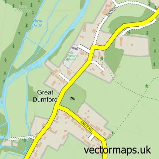
Nearby street map samples around Porton

More street maps in Wiltshire
750 metre map area coverage
Boundary, postcode and point of interest information for the 750m x 750m rectangle centred on this sample map.
Boundaries containing map centre
Constituency: Salisbury Co Const
District: Wiltshire
Icb: NHS Bath and North East Somerset Swindon and Wiltshire ICB
Parish: Idmiston CP
Police Force: wiltshire
Postcode District: SP4
Postcode Sector: SP4 0
Nearby boundaries intersecting sample
No additional intersecting boundaries found.
Postcode coverage
POI category counts
Convenience Store: 2
Korean Grocery Store: 2
Anglican Church: 1
Automotive Repair: 1
Bike Repair Maintenance: 1
Community Center: 1
Currency Exchange: 1
Dance School: 1
Doctor: 1
Electrician: 1
Sample points of interest
- St Nicholas, Porton
- Voltek
- Ginges Cycle Repairs
- Idmiston Parish Memorial Hall
- Nisa Local
- SPAR
- Post Office Travel Money
- Wellington School of Dancing
- Porton & Old Sarum Surgery (Three Chequers Medical Practice)
- Bourne Valley Electrical Services
- Sherriff Sales Agency
- Nisa Porton
Create a larger editable map of Porton
This sample shows only a 750 metre area. To create a larger map of Porton, use our map builder to choose your own coverage area, add titles and download editable SVG, PDF and PNG files.
Create a custom map of Porton