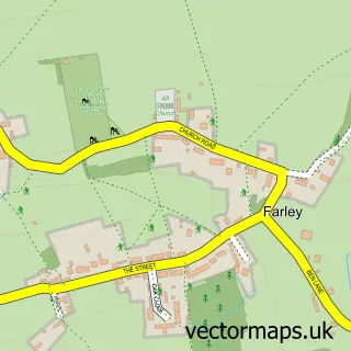
This Firsdown street map is a detailed vector street map covering a 750m x 750m area. Select a larger area to create and download your own vector street map of Firsdown.
The 750-metre map sample for Firsdown covers 211 mapped buildings and approximately 4.9 km of road detail, of which 6 named roads are named. The wider area around Firsdown features 1 hotel and 1 campsite within 2 miles. To create a larger or custom map of Firsdown, the map builder lets you define your own coverage area and download editable SVG, PDF and PNG files.
Create a larger editable map of Firsdown
Choose any area you need and generate a high-quality vector map instantly. Perfect for print, planning, design, business and personal use.

This Firsdown street map in Wiltshire is available as downloadable SVG, PDF and PNG map files, or as a printed map for planning, business, display, education, local information and design work. You can also create a larger custom map area using the map selector.
What this Firsdown map sample shows
Firsdown lies within Firsdown Cp parish, part of Winterslow ward in the Wiltshire local authority area. The postcode geography for this area includes the SP postcode area, the SP5 postcode district and the SP5 1 postcode sector. Residents fall under the Nhs Bath And North East Somerset, Swindon And Wiltshire Integrated Care Board for NHS services.
Local features near Firsdown
Within 2 milesAmenities and services in and around Firsdown.
Administrative and postcode information for Firsdown
The local authority covering Firsdown is Wiltshire, within the county of Wiltshire. The settlement lies within Winterslow ward and Firsdown Cp civil parish. The SP5 postcode district and SP5 1 postcode sector serve the immediate area. NHS provision in the area is delivered through Salisbury Nhs Foundation Trust.
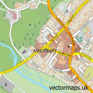
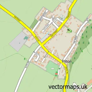
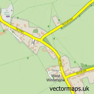
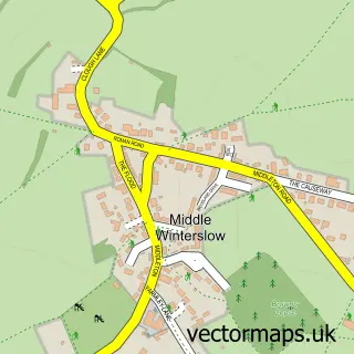
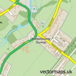
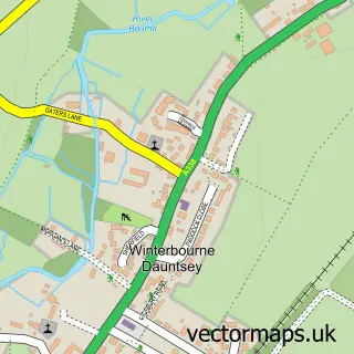
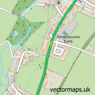
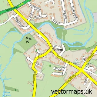
Nearby street map samples around Firsdown

More street maps in Wiltshire
750 metre map area coverage
Boundary, postcode and point of interest information for the 750m x 750m rectangle centred on this sample map.
Boundaries containing map centre
Constituency: Salisbury Co Const
District: Wiltshire
Icb: NHS Bath and North East Somerset Swindon and Wiltshire ICB
Parish: Firsdown CP
Police Force: wiltshire
Postcode District: SP5
Postcode Sector: SP5 1
Nearby boundaries intersecting sample
Parish: Pitton and Farley CP
Postcode coverage
POI category counts
Active Life: 1
Bed And Breakfast: 1
Fence And Gate Sales Service: 1
Fencing Club: 1
Garbage Collection Service: 1
Hat Shop: 1
Hotel: 1
Pet Groomer: 1
Web Designer: 1
Sample points of interest
- Druids Lodge Polo
- The Junipers
- Apex Fencing Ltd
- Apex Fencing
- Fuel Tank Replacements
- Lara's Hat Hire
- Junipers Bed and Breakfast
- The Grooming Shed
- Individual Web Design
Create a larger editable map of Firsdown
This sample shows only a 750 metre area. To create a larger map of Firsdown, use our map builder to choose your own coverage area, add titles and download editable SVG, PDF and PNG files.
Create a custom map of Firsdown