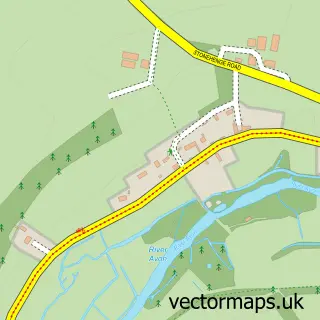
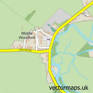
This Amesbury street map is a detailed vector street map covering a 750m x 750m area. Select a larger area to create and download your own vector street map of Amesbury.
The 750-metre map sample for Amesbury covers 269 mapped buildings and approximately 11.2 km of road detail, of which 24 named roads are named. The immediate area includes 1 school, 2 GP surgeries, 5 pubs and 1 MOT station, with 6 within 2 miles. The wider area around Amesbury features 3 tourism points of interest, 9 food and drink venues and 4 hotels. To create a larger or custom map of Amesbury, the map builder lets you define your own coverage area and download editable SVG, PDF and PNG files.
Create a larger editable map of Amesbury
Choose any area you need and generate a high-quality vector map instantly. Perfect for print, planning, design, business and personal use.

This Amesbury street map in Wiltshire is available as downloadable SVG, PDF and PNG map files, or as a printed map for planning, business, display, education, local information and design work. You can also create a larger custom map area using the map selector.
What this Amesbury map sample shows
Amesbury lies within Amesbury Cp parish, part of Amesbury West ward in the Wiltshire local authority area. The postcode geography for this area includes the SP postcode area, the SP4 postcode district and the SP4 7 postcode sector. Residents fall under the Nhs Bath And North East Somerset, Swindon And Wiltshire Integrated Care Board for NHS services.
Local features near Amesbury
Within 2 milesAmenities and services in and around Amesbury.
Administrative and postcode information for Amesbury
Amesbury lies within Amesbury Cp parish, part of Amesbury West ward in the Wiltshire local authority area. The postcode geography for this area includes the SP postcode area, the SP4 postcode district and the SP4 7 postcode sector. Residents fall under the Nhs Bath And North East Somerset, Swindon And Wiltshire Integrated Care Board for NHS services.
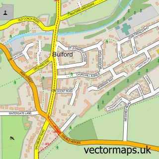
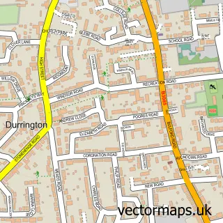
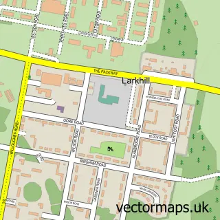
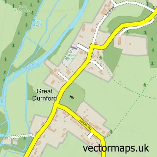
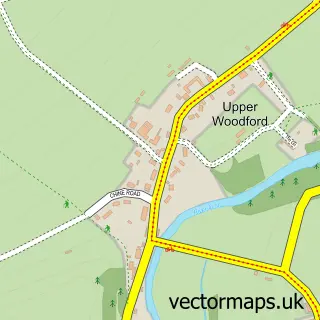
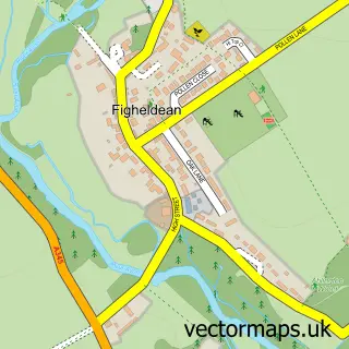
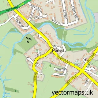
Nearby street map samples around Amesbury

More street maps in Wiltshire
750 metre map area coverage
Boundary, postcode and point of interest information for the 750m x 750m rectangle centred on this sample map.
Boundaries containing map centre
Constituency: East Wiltshire Co Const
District: Wiltshire
Icb: NHS Bath and North East Somerset Swindon and Wiltshire ICB
Parish: Amesbury CP
Police Force: wiltshire
Postcode District: SP4
Postcode Sector: SP4 7
Nearby boundaries intersecting sample
No additional intersecting boundaries found.
Postcode coverage
POI category counts
Beauty Salon: 11
Real Estate Agent: 10
Hair Salon: 6
Bank Credit Union: 5
Barber: 5
Bridal Shop: 5
Chinese Restaurant: 5
Pub: 5
Convenience Store: 4
Dentist: 4
Sample points of interest
- Sharlotte Moody
- Glovers Healthcare
- Amesbury Parish Church, The Abbey Church of St Mary and St Melor
- St Mary and St Melore's Church
- Marie Curie Cancer Care
- Austin & Wyatt Lettings
- Kraft Crazy
- Morrisons Daily - Amesbury, Amesbury
- The Cooperative Food Amesbury - Salisbury Street, Amesbury
- Autocare Amesbury Ltd
- Meadow Garage
- Sprint Services
Create a larger editable map of Amesbury
This sample shows only a 750 metre area. To create a larger map of Amesbury, use our map builder to choose your own coverage area, add titles and download editable SVG, PDF and PNG files.
Create a custom map of Amesbury