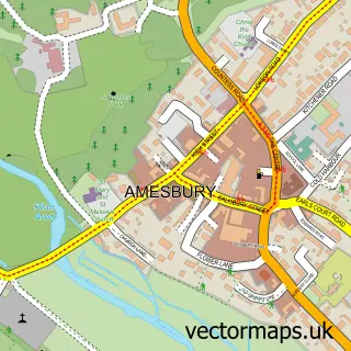
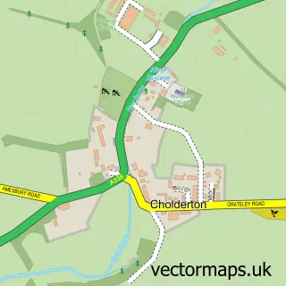
This Durrington street map is a detailed vector street map covering a 750m x 750m area. Select a larger area to create and download your own vector street map of Durrington.
The 750-metre map sample for Durrington covers 635 mapped buildings and approximately 18.8 km of road detail, of which 43 named roads are named. The immediate area includes 2 primary schools and 1 secondary school, 2 GP surgeries within 2 miles, 1 pub and 1 MOT station, with 5 within 2 miles. The wider area around Durrington features 2 food and drink venues. To create a larger or custom map of Durrington, the map builder lets you define your own coverage area and download editable SVG, PDF and PNG files.
Create a larger editable map of Durrington
Choose any area you need and generate a high-quality vector map instantly. Perfect for print, planning, design, business and personal use.

This Durrington street map in Wiltshire is available as downloadable SVG, PDF and PNG map files, or as a printed map for planning, business, display, education, local information and design work. You can also create a larger custom map area using the map selector.
What this Durrington map sample shows
Durrington lies within Durrington Cp parish, part of Durrington And Larkhill ward in the Wiltshire local authority area. The postcode geography for this area includes the SP postcode area, the SP4 postcode district and the SP4 8 postcode sector. Residents fall under the Nhs Bath And North East Somerset, Swindon And Wiltshire Integrated Care Board for NHS services.
Local features near Durrington
Within 2 milesAmenities and services in and around Durrington.
Administrative and postcode information for Durrington
The local authority covering Durrington is Wiltshire, within the county of Wiltshire. The settlement lies within Durrington And Larkhill ward and Durrington Cp civil parish. The SP4 postcode district and SP4 8 postcode sector serve the immediate area. NHS provision in the area is delivered through Salisbury Nhs Foundation Trust.
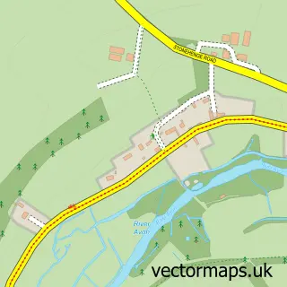
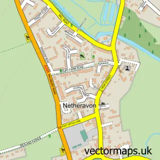
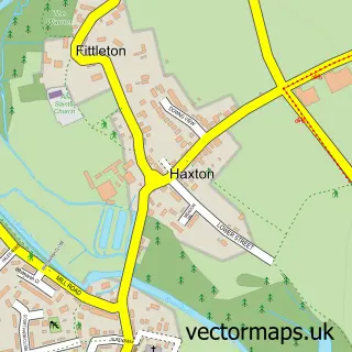
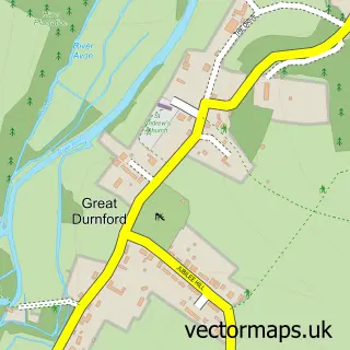
Nearby street map samples around Durrington

More street maps in Wiltshire
750 metre map area coverage
Boundary, postcode and point of interest information for the 750m x 750m rectangle centred on this sample map.
Boundaries containing map centre
Constituency: East Wiltshire Co Const
District: Wiltshire
Icb: NHS Bath and North East Somerset Swindon and Wiltshire ICB
Parish: Durrington CP
Police Force: wiltshire
Postcode District: SP4
Postcode Sector: SP4 8
Nearby boundaries intersecting sample
No additional intersecting boundaries found.
Postcode coverage
POI category counts
Convenience Store: 4
Doctor: 3
Elementary School: 3
Auto Electrical Repair: 2
Beauty Salon: 2
Contractor: 2
Dog Walkers: 2
Electronics: 2
Food Banks: 2
Furniture Store: 2
Sample points of interest
- West End Manor
- APKM Accountancy Ltd
- Steele Signs
- Durrington, All Saints
- Archidraft Design
- Music First
- Aerial Services Stonehenge
- R Flint Aerial Services
- The Durry Arms
- Barbering By Jenkins
- B-unique Beauty and Aesthetics
- Bel'amour By Claire Louise
Create a larger editable map of Durrington
This sample shows only a 750 metre area. To create a larger map of Durrington, use our map builder to choose your own coverage area, add titles and download editable SVG, PDF and PNG files.
Create a custom map of Durrington