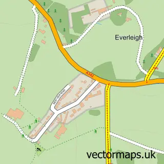
This Haxton street map is a detailed vector street map covering a 750m x 750m area. Select a larger area to create and download your own vector street map of Haxton.
The 750-metre map sample for Haxton covers 192 mapped buildings and approximately 11.5 km of road detail, of which 10 named roads are named. The immediate area includes 1 MOT station within 2 miles. The wider area around Haxton features 1 food and drink venue. To create a larger or custom map of Haxton, the map builder lets you define your own coverage area and download editable SVG, PDF and PNG files.
Create a larger editable map of Haxton
Choose any area you need and generate a high-quality vector map instantly. Perfect for print, planning, design, business and personal use.

This Haxton street map in Wiltshire is available as downloadable SVG, PDF and PNG map files, or as a printed map for planning, business, display, education, local information and design work. You can also create a larger custom map area using the map selector.
What this Haxton map sample shows
Haxton lies within Fittleton Cum Haxton Cp parish, part of The Collingbournes And Netheravon ward in the Wiltshire local authority area. The postcode geography for this area includes the SP postcode area, the SP4 postcode district and the SP4 9 postcode sector. Residents fall under the Nhs Bath And North East Somerset, Swindon And Wiltshire Integrated Care Board for NHS services.
Local features near Haxton
Within 2 milesAmenities and services in and around Haxton.
Administrative and postcode information for Haxton
The local authority covering Haxton is Wiltshire, within the county of Wiltshire. The settlement lies within The Collingbournes And Netheravon ward and Fittleton Cum Haxton Cp civil parish. The SP4 postcode district and SP4 9 postcode sector serve the immediate area. NHS provision in the area is delivered through Salisbury Nhs Foundation Trust.
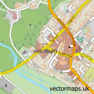
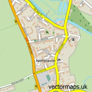
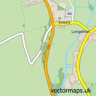
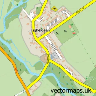
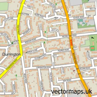
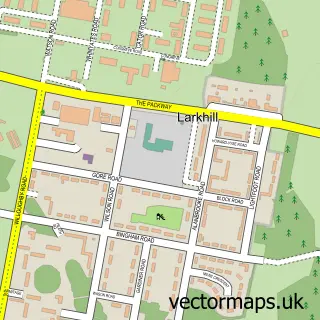
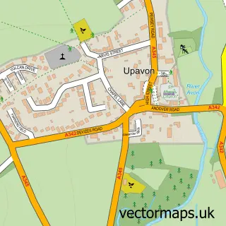
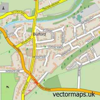
Nearby street map samples around Haxton

More street maps in Wiltshire
750 metre map area coverage
Boundary, postcode and point of interest information for the 750m x 750m rectangle centred on this sample map.
Boundaries containing map centre
Constituency: East Wiltshire Co Const
District: Wiltshire
Icb: NHS Bath and North East Somerset Swindon and Wiltshire ICB
Parish: Fittleton cum Haxton CP
Police Force: wiltshire
Postcode District: SP4
Postcode Sector: SP4 9
Nearby boundaries intersecting sample
Parish: Enford CP, Netheravon CP
Postcode District: SN9
Postcode Sector: SN9 6
Postcode coverage
POI category counts
Accommodation: 1
Anglican Church: 1
Automotive Parts And Accessories: 1
Brewery: 1
Coffee Shop: 1
Convenience Store: 1
Interior Design: 1
Plumbing: 1
Professional Services: 1
School: 1
Sample points of interest
- Haxton Farm House
- All Saints Fittleton cum Haxton
- Alloy Wheels Direct
- Stonehenge Ales Ltd
- Florence & Opie - Coffee & Flowers
- Morrisons Daily
- Brushh Inteiror Design
- Grove Plumbers
- Red Devils Freefall Team
- Avondale School
- Netheravon Post Office
Create a larger editable map of Haxton
This sample shows only a 750 metre area. To create a larger map of Haxton, use our map builder to choose your own coverage area, add titles and download editable SVG, PDF and PNG files.
Create a custom map of Haxton