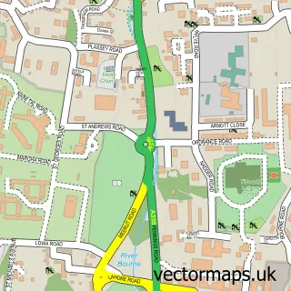
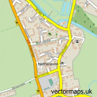
This Everleigh street map is a detailed vector street map covering a 750m x 750m area. Select a larger area to create and download your own vector street map of Everleigh.
The 750-metre map sample for Everleigh covers 67 mapped buildings and approximately 7.1 km of road detail, of which 2 named roads are named. To create a larger or custom map of Everleigh, the map builder lets you define your own coverage area and download editable SVG, PDF and PNG files.
Create a larger editable map of Everleigh
Choose any area you need and generate a high-quality vector map instantly. Perfect for print, planning, design, business and personal use.

This Everleigh street map in Wiltshire is available as downloadable SVG, PDF and PNG map files, or as a printed map for planning, business, display, education, local information and design work. You can also create a larger custom map area using the map selector.
What this Everleigh map sample shows
Everleigh lies within Everleigh Cp parish, part of The Collingbournes And Netheravon ward in the Wiltshire local authority area. The postcode geography for this area includes the SN postcode area, the SN8 postcode district and the SN8 3 postcode sector. Residents fall under the Nhs Bath And North East Somerset, Swindon And Wiltshire Integrated Care Board for NHS services.
Administrative and postcode information for Everleigh
The local authority covering Everleigh is Wiltshire, within the county of Wiltshire. The settlement lies within The Collingbournes And Netheravon ward and Everleigh Cp civil parish. The SN8 postcode district and SN8 3 postcode sector serve the immediate area. NHS provision in the area is delivered through Great Western Hospitals Nhs Foundation Trust.
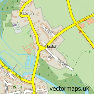
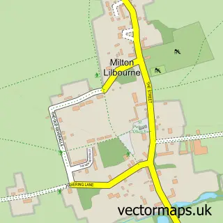
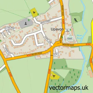
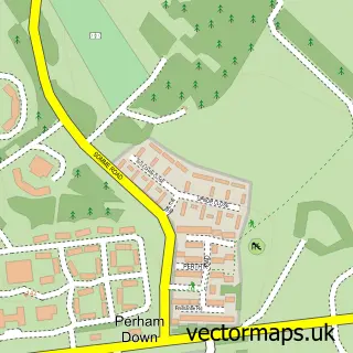
Nearby street map samples around Everleigh

More street maps in Wiltshire
750 metre map area coverage
Boundary, postcode and point of interest information for the 750m x 750m rectangle centred on this sample map.
Boundaries containing map centre
Constituency: East Wiltshire Co Const
District: Wiltshire
Icb: NHS Bath and North East Somerset Swindon and Wiltshire ICB
Parish: Everleigh CP
Police Force: wiltshire
Postcode District: SN8
Postcode Sector: SN8 3
Nearby boundaries intersecting sample
No additional intersecting boundaries found.
Postcode coverage
POI category counts
Indian Restaurant: 3
Accommodation: 1
Bed And Breakfast: 1
Butcher Shop: 1
It Service And Computer Repair: 1
Pet Breeder: 1
Sample points of interest
- Everleigh Manor
- The West Wing at Everleigh Manor
- Everleigh Farm Shop
- Goa Balti House
- The Goa Balti
- The Goa Balti Indian Restaurant
- Hightrees Organisation Limited
- Eden Birds
Create a larger editable map of Everleigh
This sample shows only a 750 metre area. To create a larger map of Everleigh, use our map builder to choose your own coverage area, add titles and download editable SVG, PDF and PNG files.
Create a custom map of Everleigh