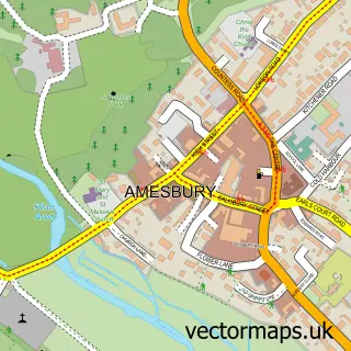
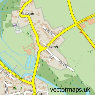
This Bulford street map is a detailed vector street map covering a 750m x 750m area. Select a larger area to create and download your own vector street map of Bulford.
The 750-metre map sample for Bulford covers 310 mapped buildings and approximately 14.9 km of road detail, of which 23 named roads are named. The immediate area includes 2 schools, 2 GP surgeries within 2 miles, 1 pub and 6 MOT stations within 2 miles. The wider area around Bulford features 1 tourism point of interest and 2 food and drink venues. To create a larger or custom map of Bulford, the map builder lets you define your own coverage area and download editable SVG, PDF and PNG files.
Create a larger editable map of Bulford
Choose any area you need and generate a high-quality vector map instantly. Perfect for print, planning, design, business and personal use.

This Bulford street map in Wiltshire is available as downloadable SVG, PDF and PNG map files, or as a printed map for planning, business, display, education, local information and design work. You can also create a larger custom map area using the map selector.
What this Bulford map sample shows
Bulford lies within Bulford Cp parish, part of Bulford, Allington And Figheldean ward in the Wiltshire local authority area. The postcode geography for this area includes the SP postcode area, the SP4 postcode district and the SP4 9 postcode sector. Residents fall under the Nhs Bath And North East Somerset, Swindon And Wiltshire Integrated Care Board for NHS services.
Local features near Bulford
Within 2 milesAmenities and services in and around Bulford.
Administrative and postcode information for Bulford
Bulford lies within Bulford Cp parish, part of Bulford, Allington And Figheldean ward in the Wiltshire local authority area. The postcode geography for this area includes the SP postcode area, the SP4 postcode district and the SP4 9 postcode sector. Residents fall under the Nhs Bath And North East Somerset, Swindon And Wiltshire Integrated Care Board for NHS services.
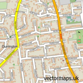
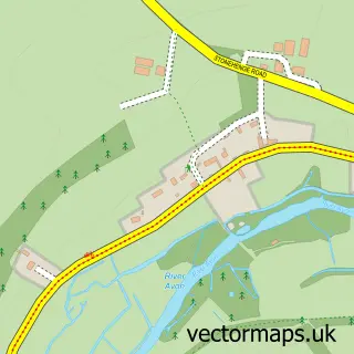
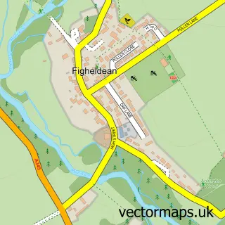
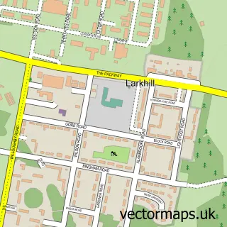
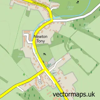
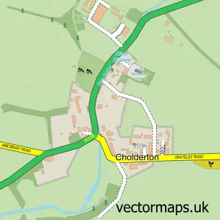
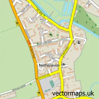
Nearby street map samples around Bulford

More street maps in Wiltshire
750 metre map area coverage
Boundary, postcode and point of interest information for the 750m x 750m rectangle centred on this sample map.
Boundaries containing map centre
Constituency: East Wiltshire Co Const
District: Wiltshire
Icb: NHS Bath and North East Somerset Swindon and Wiltshire ICB
Parish: Bulford CP
Police Force: wiltshire
Postcode District: SP4
Postcode Sector: SP4 9
Nearby boundaries intersecting sample
No additional intersecting boundaries found.
Postcode coverage
POI category counts
Beauty Salon: 5
Taxi Service: 3
Public Service And Government: 2
River: 2
Bar: 1
Car Wash: 1
Church Cathedral: 1
Convenience Store: 1
Dog Trainer: 1
Elementary School: 1
Sample points of interest
- Rose & Crown
- Courtney Jade
- JR Hair Tanning Beauty Boutique
- Nvu Hair and Beauty
- Shear perfection hair & beauty
- Vanilla Beauty Salon
- Super Hand Car Wash
- Bulford Chapel - Independent Congregational Church
- Nisa
- Forbes Dog Training
- Bulford C of E Controlled Primary School
- Bulford Village Hall
Create a larger editable map of Bulford
This sample shows only a 750 metre area. To create a larger map of Bulford, use our map builder to choose your own coverage area, add titles and download editable SVG, PDF and PNG files.
Create a custom map of Bulford