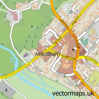
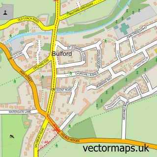
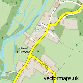
This Larkhill street map is a detailed vector street map covering a 750m x 750m area. Select a larger area to create and download your own vector street map of Larkhill.
The 750-metre map sample for Larkhill covers 184 mapped buildings and approximately 14.1 km of road detail, of which 20 named roads are named. The immediate area includes 1 school, 1 pub and 1 MOT station within 2 miles. The wider area around Larkhill features 1 food and drink venue. To create a larger or custom map of Larkhill, the map builder lets you define your own coverage area and download editable SVG, PDF and PNG files.
Create a larger editable map of Larkhill
Choose any area you need and generate a high-quality vector map instantly. Perfect for print, planning, design, business and personal use.

This Larkhill street map in Wiltshire is available as downloadable SVG, PDF and PNG map files, or as a printed map for planning, business, display, education, local information and design work. You can also create a larger custom map area using the map selector.
What this Larkhill map sample shows
Larkhill lies within Durrington Cp parish, part of Durrington And Larkhill ward in the Wiltshire local authority area. The postcode geography for this area includes the SP postcode area, the SP4 postcode district and the SP4 8 postcode sector. Residents fall under the Nhs Bath And North East Somerset, Swindon And Wiltshire Integrated Care Board for NHS services.
Local features near Larkhill
Within 2 milesAmenities and services in and around Larkhill.
Administrative and postcode information for Larkhill
Larkhill lies within Durrington Cp parish, part of Durrington And Larkhill ward in the Wiltshire local authority area. The postcode geography for this area includes the SP postcode area, the SP4 postcode district and the SP4 8 postcode sector. Residents fall under the Nhs Bath And North East Somerset, Swindon And Wiltshire Integrated Care Board for NHS services.
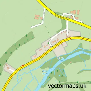
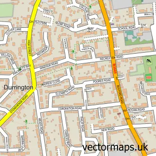
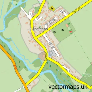
Nearby street map samples around Larkhill

More street maps in Wiltshire
750 metre map area coverage
Boundary, postcode and point of interest information for the 750m x 750m rectangle centred on this sample map.
Boundaries containing map centre
Constituency: East Wiltshire Co Const
District: Wiltshire
Icb: NHS Bath and North East Somerset Swindon and Wiltshire ICB
Parish: Durrington CP
Police Force: wiltshire
Postcode District: SP4
Postcode Sector: SP4 8
Nearby boundaries intersecting sample
No additional intersecting boundaries found.
Postcode coverage
POI category counts
Barber: 2
Beauty Salon: 2
Community Center: 2
Convenience Store: 2
Framing Store: 2
Home Service: 2
Rental Kiosks: 2
Armed Forces Branch: 1
Automotive Repair: 1
Beauty Product Supplier: 1
Sample points of interest
- Larkhill Army Camp
- DMS Autos
- Legend barber
- The Barbers by amy
- Perfection Hair & Beauty Salon
- Hayley’s Beauty Room
- Tanning beauty boutique
- Busy Beavers
- Sharp Hall
- St Barbaras Hall
- Design Build Facades UK
- Costcutter
Create a larger editable map of Larkhill
This sample shows only a 750 metre area. To create a larger map of Larkhill, use our map builder to choose your own coverage area, add titles and download editable SVG, PDF and PNG files.
Create a custom map of Larkhill