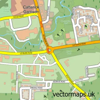
This Richmond street map is a detailed vector street map covering a 750m x 750m area. Select a larger area to create and download your own vector street map of Richmond.
The 750-metre map sample for Richmond covers 223 mapped buildings and approximately 15.2 km of road detail, of which 38 named roads are named. The immediate area includes 2 GP surgeries, with 3 within 2 miles, 18 pubs and 5 MOT stations within 2 miles. The wider area around Richmond features 16 tourism points of interest, 35 food and drink venues and 13 hotels. To create a larger or custom map of Richmond, the map builder lets you define your own coverage area and download editable SVG, PDF and PNG files.
Create a larger editable map of Richmond
Choose any area you need and generate a high-quality vector map instantly. Perfect for print, planning, design, business and personal use.

This Richmond street map in North Yorkshire is available as downloadable SVG, PDF and PNG map files, or as a printed map for planning, business, display, education, local information and design work. You can also create a larger custom map area using the map selector.
What this Richmond map sample shows
Richmond lies within Richmond Cp parish, part of Richmond West ward in the North Yorkshire local authority area. The postcode geography for this area includes the DL postcode area, the DL10 postcode district and the DL10 4 postcode sector. Residents fall under the Nhs Humber And North Yorkshire Integrated Care Board for NHS services.
Local features near Richmond
Within 2 milesAmenities and services in and around Richmond.
Administrative and postcode information for Richmond
The local authority covering Richmond is North Yorkshire, within the county of North Yorkshire. The settlement lies within Richmond West ward and Richmond Cp civil parish. The DL10 postcode district and DL10 4 postcode sector serve the immediate area. NHS provision in the area is delivered through South Tees Hospitals Nhs Foundation Trust.
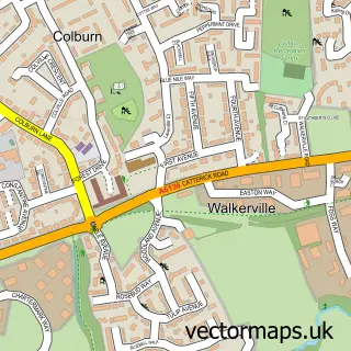
Nearby street map samples around Richmond


More street maps in North Yorkshire
750 metre map area coverage
Boundary, postcode and point of interest information for the 750m x 750m rectangle centred on this sample map.
Boundaries containing map centre
Constituency: Richmond and Northallerton Co Const
District: North Yorkshire
Icb: NHS Humber and North Yorkshire ICB
Parish: Richmond CP
Police Force: north yorkshire
Postcode District: DL10
Postcode Sector: DL10 4
Nearby boundaries intersecting sample
Parish: St. Martin's CP
Postcode District: DL11
Postcode Sector: DL10 7, DL11 6
Postcode coverage
POI category counts
Pub: 18
Beauty Salon: 13
Hotel: 13
Bed And Breakfast: 10
Flowers And Gifts Shop: 9
Banks: 8
Clothing Store: 8
Holiday Rental Home: 8
Real Estate Agent: 8
Restaurant: 8
Sample points of interest
- Richmond Masonic Hall
- Acupuncture and Holistic Health
- McQue Acupuncture
- Love & Light
- Richmond: St Mary
- St Mary the Virgin
- Age UK
- Richmond Antiques
- York House
- York House Antiques
- sue ryder
- Evolve Architectural Services Ltd.
Create a larger editable map of Richmond
This sample shows only a 750 metre area. To create a larger map of Richmond, use our map builder to choose your own coverage area, add titles and download editable SVG, PDF and PNG files.
Create a custom map of Richmond