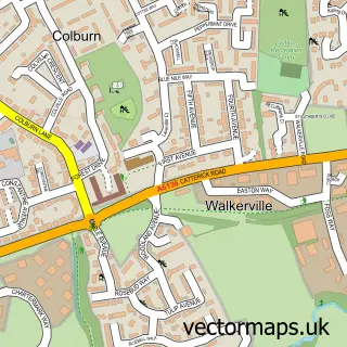
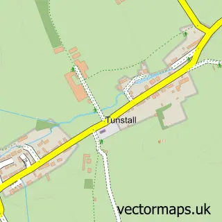
This Brompton-on-Swale street map is a detailed vector street map covering a 750m x 750m area. Select a larger area to create and download your own vector street map of Brompton-on-Swale.
The 750-metre map sample for Brompton-on-Swale covers 365 mapped buildings and approximately 14.5 km of road detail, of which 12 named roads are named. The immediate area includes 1 school, 1 GP surgery within 2 miles, 1 pub and 6 MOT stations within 2 miles. The wider area around Brompton-on-Swale features 1 tourism point of interest, 1 food and drink venue and 1 hotel. To create a larger or custom map of Brompton-on-Swale, the map builder lets you define your own coverage area and download editable SVG, PDF and PNG files.
Create a larger editable map of Brompton-on-Swale
Choose any area you need and generate a high-quality vector map instantly. Perfect for print, planning, design, business and personal use.

This Brompton-on-Swale street map in North Yorkshire is available as downloadable SVG, PDF and PNG map files, or as a printed map for planning, business, display, education, local information and design work. You can also create a larger custom map area using the map selector.
What this Brompton-on-Swale map sample shows
Brompton-on-Swale lies within Brompton-On-Swale Cp parish, part of Catterick & Brompton-On-Swale ward in the North Yorkshire local authority area. The postcode geography for this area includes the DL postcode area, the DL10 postcode district and the DL10 7 postcode sector. Residents fall under the Nhs Humber And North Yorkshire Integrated Care Board for NHS services.
Local features near Brompton-on-Swale
Within 2 milesAmenities and services in and around Brompton-on-Swale.
Administrative and postcode information for Brompton-on-Swale
Brompton-on-Swale lies within Brompton-On-Swale Cp parish, part of Catterick & Brompton-On-Swale ward in the North Yorkshire local authority area. The postcode geography for this area includes the DL postcode area, the DL10 postcode district and the DL10 7 postcode sector. Residents fall under the Nhs Humber And North Yorkshire Integrated Care Board for NHS services.
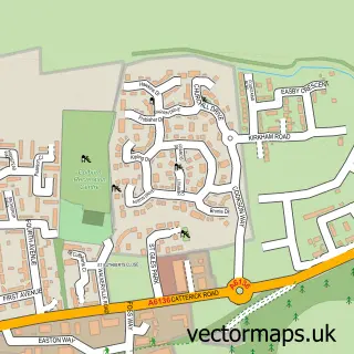
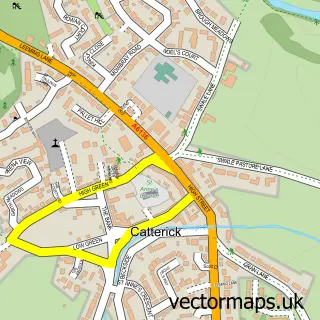
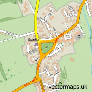
Nearby street map samples around Brompton-on-Swale


More street maps in North Yorkshire
750 metre map area coverage
Boundary, postcode and point of interest information for the 750m x 750m rectangle centred on this sample map.
Boundaries containing map centre
Constituency: Richmond and Northallerton Co Const
District: North Yorkshire
Icb: NHS Humber and North Yorkshire ICB
Parish: Brompton-on-Swale CP
Police Force: north yorkshire
Postcode District: DL10
Postcode Sector: DL10 7
Nearby boundaries intersecting sample
Parish: Brough with St. Giles CP
Postcode coverage
POI category counts
Convenience Store: 2
Elementary School: 2
Anglican Church: 1
Art Gallery: 1
Audiovisual Equipment Rental: 1
Auto Customization: 1
Automotive: 1
Automotive Repair: 1
Building Supply Store: 1
Car Rental Agency: 1
Sample points of interest
- Brompton-on-Swale: St Paul
- Lucy Pittaway Art Gallery
- DW Mini Skips
- Micmans Ltd
- Bos Tyres
- Coates Garage
- Into Painting & Decorating
- Lowes Breakdown and Recovery
- Keith Battersby Joinery
- Thomas Armstrong Concrete Blocks
- Brompton-on-Swale sportshall
- Best-one
Create a larger editable map of Brompton-on-Swale
This sample shows only a 750 metre area. To create a larger map of Brompton-on-Swale, use our map builder to choose your own coverage area, add titles and download editable SVG, PDF and PNG files.
Create a custom map of Brompton-on-Swale