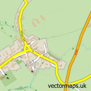
This Scorton street map is a detailed vector street map covering a 750m x 750m area. Select a larger area to create and download your own vector street map of Scorton.
The 750-metre map sample for Scorton covers 199 mapped buildings and approximately 14.0 km of road detail, of which 14 named roads are named. The immediate area includes 1 GP surgery, with 2 within 2 miles, 2 pubs and 1 MOT station, with 4 within 2 miles. The wider area around Scorton features 1 tourism point of interest and 2 food and drink venues. To create a larger or custom map of Scorton, the map builder lets you define your own coverage area and download editable SVG, PDF and PNG files.
Create a larger editable map of Scorton
Choose any area you need and generate a high-quality vector map instantly. Perfect for print, planning, design, business and personal use.

This Scorton street map in North Yorkshire is available as downloadable SVG, PDF and PNG map files, or as a printed map for planning, business, display, education, local information and design work. You can also create a larger custom map area using the map selector.
What this Scorton map sample shows
Scorton lies within Scorton Cp parish, part of Catterick & Brompton-On-Swale ward in the North Yorkshire local authority area. The postcode geography for this area includes the DL postcode area, the DL10 postcode district and the DL10 6 postcode sector. Residents fall under the Nhs Humber And North Yorkshire Integrated Care Board for NHS services.
Local features near Scorton
Within 2 milesAmenities and services in and around Scorton.
Administrative and postcode information for Scorton
The local authority covering Scorton is North Yorkshire, within the county of North Yorkshire. The settlement lies within Catterick & Brompton-On-Swale ward and Scorton Cp civil parish. The DL10 postcode district and DL10 6 postcode sector serve the immediate area. NHS provision in the area is delivered through South Tees Hospitals Nhs Foundation Trust.
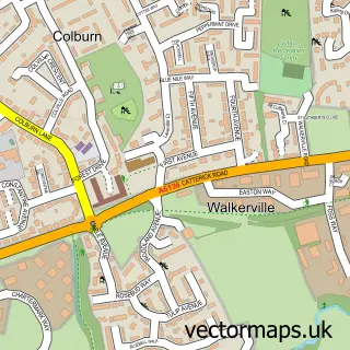
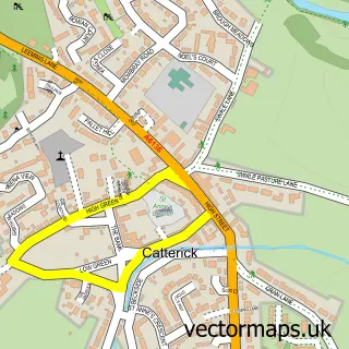
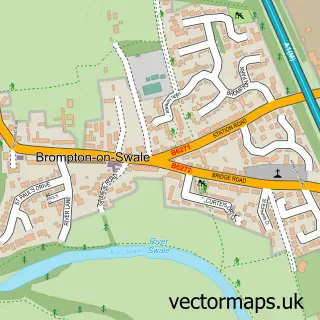
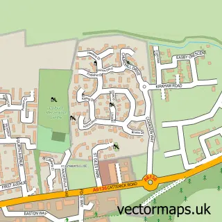
Nearby street map samples around Scorton


More street maps in North Yorkshire
750 metre map area coverage
Boundary, postcode and point of interest information for the 750m x 750m rectangle centred on this sample map.
Boundaries containing map centre
Constituency: Richmond and Northallerton Co Const
District: North Yorkshire
Icb: NHS Humber and North Yorkshire ICB
Parish: Scorton CP
Police Force: north yorkshire
Postcode District: DL10
Postcode Sector: DL10 6
Nearby boundaries intersecting sample
No additional intersecting boundaries found.
Postcode coverage
POI category counts
Dance School: 2
Doctor: 2
Pub: 2
Assisted Living Facility: 1
Automotive Services And Repair: 1
Car Dealer: 1
Child Care And Day Care: 1
Cleaning Services: 1
Currency Exchange: 1
Home Service: 1
Sample points of interest
- Scorton Care Village
- Coates Garage
- McDonagh Motor Company
- Little Learners Nursery Centre
- Yorblast Shot Blasting And Cleaning
- Post Office Travel Money
- Richmond Dance Centre
- Richmond Dance Centre
- Scorton Medical Centre
- Scorton Medical Centre
- Little Learners Nursery Centre
- Calvis
Create a larger editable map of Scorton
This sample shows only a 750 metre area. To create a larger map of Scorton, use our map builder to choose your own coverage area, add titles and download editable SVG, PDF and PNG files.
Create a custom map of Scorton