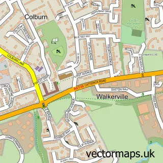
This Catterick street map is a detailed vector street map covering a 750m x 750m area. Select a larger area to create and download your own vector street map of Catterick.
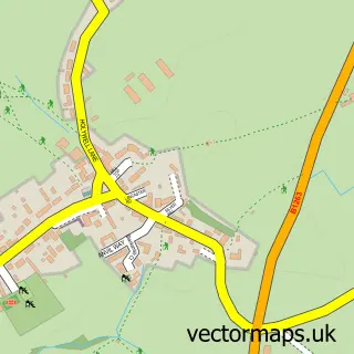
The 750-metre map sample for Catterick covers 400 mapped buildings and approximately 15.9 km of road detail, of which 30 named roads are named. The immediate area includes 1 school, 1 GP surgery, with 2 within 2 miles, 2 pubs and 1 MOT station, with 5 within 2 miles. The wider area around Catterick features 2 tourism points of interest and 4 food and drink venues. To create a larger or custom map of Catterick, the map builder lets you define your own coverage area and download editable SVG, PDF and PNG files.
Create a larger editable map of Catterick
Choose any area you need and generate a high-quality vector map instantly. Perfect for print, planning, design, business and personal use.

This Catterick street map in North Yorkshire is available as downloadable SVG, PDF and PNG map files, or as a printed map for planning, business, display, education, local information and design work. You can also create a larger custom map area using the map selector.
What this Catterick map sample shows
Catterick lies within Catterick Cp parish, part of Catterick & Brompton-On-Swale ward in the North Yorkshire local authority area. The postcode geography for this area includes the DL postcode area, the DL10 postcode district and the DL10 7 postcode sector. Residents fall under the Nhs Humber And North Yorkshire Integrated Care Board for NHS services.
Local features near Catterick
Within 2 milesAmenities and services in and around Catterick.
Administrative and postcode information for Catterick
The local authority covering Catterick is North Yorkshire, within the county of North Yorkshire. The settlement lies within Catterick & Brompton-On-Swale ward and Catterick Cp civil parish. The DL10 postcode district and DL10 7 postcode sector serve the immediate area. NHS provision in the area is delivered through South Tees Hospitals Nhs Foundation Trust.
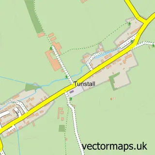
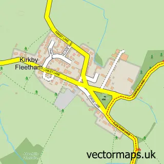
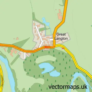
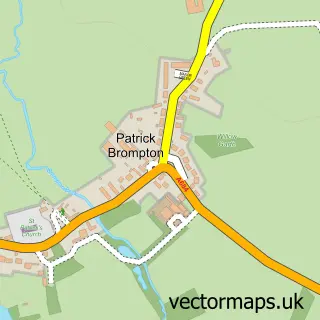
Nearby street map samples around Catterick

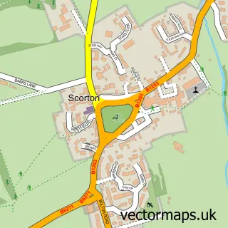
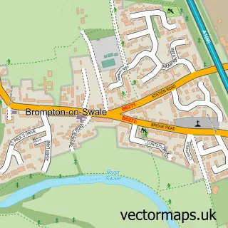
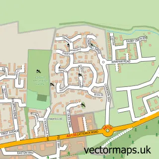
More street maps in North Yorkshire
750 metre map area coverage
Boundary, postcode and point of interest information for the 750m x 750m rectangle centred on this sample map.
Boundaries containing map centre
Constituency: Richmond and Northallerton Co Const
District: North Yorkshire
Icb: NHS Humber and North Yorkshire ICB
Parish: Catterick CP
Police Force: north yorkshire
Postcode District: DL10
Postcode Sector: DL10 7
Nearby boundaries intersecting sample
Parish: Bolton-on-Swale CP
Postcode Sector: DL10 6
Postcode coverage
POI category counts
Building Supply Store: 3
Hair Salon: 3
Beauty Salon: 2
Doctor: 2
Post Office: 2
Pub: 2
Reflexology: 2
Anglican Church: 1
Appliance Store: 1
Arts And Entertainment: 1
Sample points of interest
- St Anne's, Catterick Village
- John Wray Country Stoves Ltd.
- Cattrick Village
- The Cooperative Food (BF) Catterick, Catterick
- Moto Connection Ltd
- John Chisholm
- Booth Hall, Catterick Village
- Michael George Gents Hair Salon
- Butterfly Cuts - Charlotte Pharoah
- IZZY ROSE Hair & Beauty
- Brock Books
- Richmond Bridal Outlet
Create a larger editable map of Catterick
This sample shows only a 750 metre area. To create a larger map of Catterick, use our map builder to choose your own coverage area, add titles and download editable SVG, PDF and PNG files.
Create a custom map of Catterick