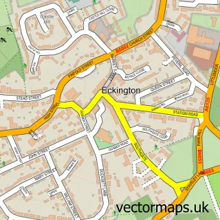
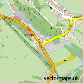
This Ridgeway street map is a detailed vector street map covering a 750m x 750m area. Select a larger area to create and download your own vector street map of Ridgeway.
The 750-metre map sample for Ridgeway covers 94 mapped buildings and approximately 4.7 km of road detail, of which 5 named roads are named. The immediate area includes 1 school, 7 GP surgeries within 2 miles, 1 pub and 5 MOT stations within 2 miles. The wider area around Ridgeway features 3 food and drink venues and 1 hotel. To create a larger or custom map of Ridgeway, the map builder lets you define your own coverage area and download editable SVG, PDF and PNG files.
Create a larger editable map of Ridgeway
Choose any area you need and generate a high-quality vector map instantly. Perfect for print, planning, design, business and personal use.

This Ridgeway street map in Derbyshire is available as downloadable SVG, PDF and PNG map files, or as a printed map for planning, business, display, education, local information and design work. You can also create a larger custom map area using the map selector.
What this Ridgeway map sample shows
Ridgeway lies within Eckington Cp parish, part of Ridgeway & Marsh Lane ward in the North East Derbyshire District local authority area. The postcode geography for this area includes the S postcode area, the S12 postcode district and the S12 3 postcode sector. Residents fall under the Nhs Derby And Derbyshire Integrated Care Board for NHS services.
Local features near Ridgeway
Within 2 milesAmenities and services in and around Ridgeway.
Administrative and postcode information for Ridgeway
Ridgeway lies within Eckington Cp parish, part of Ridgeway & Marsh Lane ward in the North East Derbyshire District local authority area. The postcode geography for this area includes the S postcode area, the S12 postcode district and the S12 3 postcode sector. Residents fall under the Nhs Derby And Derbyshire Integrated Care Board for NHS services.
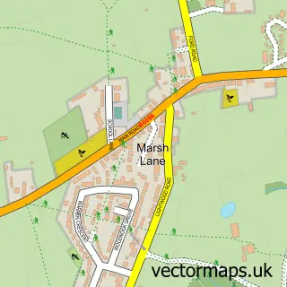
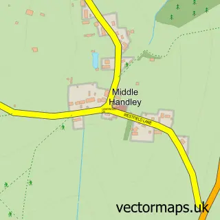
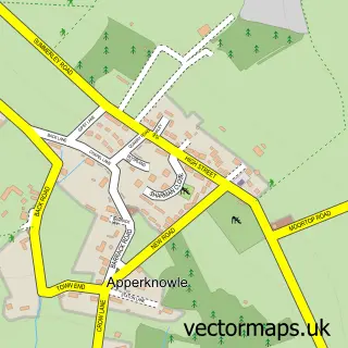
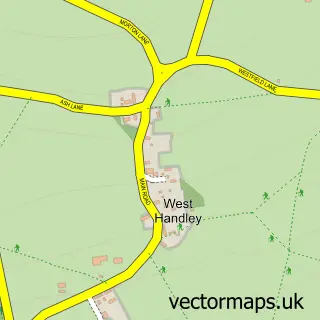
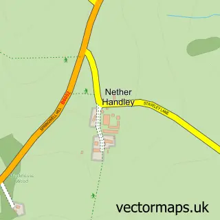
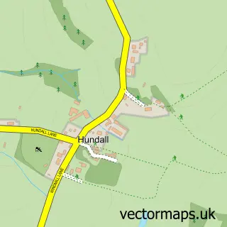
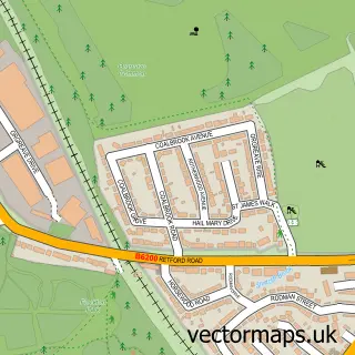
Nearby street map samples around Ridgeway

More street maps in Derbyshire
750 metre map area coverage
Boundary, postcode and point of interest information for the 750m x 750m rectangle centred on this sample map.
Boundaries containing map centre
Constituency: North East Derbyshire Co Const
County: Derbyshire County
District: North East Derbyshire District
Icb: NHS Derby and Derbyshire ICB
Parish: Eckington CP
Police Force: derbyshire
Postcode District: S12
Postcode Sector: S12 3
Ward: Ridgeway & Marsh Lane Ward
Nearby boundaries intersecting sample
Constituency: Sheffield South East Boro Const
District: Sheffield District (B)
Icb: NHS South Yorkshire ICB
Ward: Mosborough Ward
Postcode coverage
POI category counts
Arts And Crafts: 2
Preschool: 2
Restaurant: 2
Sports Club And League: 2
Anglican Church: 1
Automotive Repair: 1
Building Supply Store: 1
Church Cathedral: 1
Contractor: 1
Elementary School: 1
Sample points of interest
- St John the Evangelist
- Paul Mossman Pottery
- Ridgeway Farmers and Craft Market
- Rhodes Bros
- I-Am Wow
- St. Johns Church, Ridgeway
- B G Horsfield and Sons
- Ridgeway Primary School
- The Bridge Inn
- Ridgeway Preschool
- Ridgeway under 5s Playgroup
- Swan Inn
Create a larger editable map of Ridgeway
This sample shows only a 750 metre area. To create a larger map of Ridgeway, use our map builder to choose your own coverage area, add titles and download editable SVG, PDF and PNG files.
Create a custom map of Ridgeway