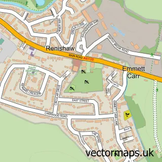
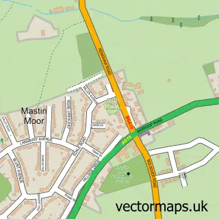
This Eckington street map is a detailed vector street map covering a 750m x 750m area. Select a larger area to create and download your own vector street map of Eckington.
The 750-metre map sample for Eckington covers 474 mapped buildings and approximately 25.6 km of road detail, of which 37 named roads are named. The immediate area includes 1 school, 1 GP surgery, with 4 within 2 miles, 3 pubs and 9 MOT stations within 2 miles. The wider area around Eckington features 11 food and drink venues and 1 hotel. To create a larger or custom map of Eckington, the map builder lets you define your own coverage area and download editable SVG, PDF and PNG files.
Create a larger editable map of Eckington
Choose any area you need and generate a high-quality vector map instantly. Perfect for print, planning, design, business and personal use.

This Eckington street map in Derbyshire is available as downloadable SVG, PDF and PNG map files, or as a printed map for planning, business, display, education, local information and design work. You can also create a larger custom map area using the map selector.
What this Eckington map sample shows
Eckington lies within Eckington Cp parish, part of Eckington South & Renishaw ward in the North East Derbyshire District local authority area. The postcode geography for this area includes the S postcode area, the S21 postcode district and the S21 4 postcode sector. Residents fall under the Nhs Derby And Derbyshire Integrated Care Board for NHS services.
Local features near Eckington
Within 2 milesAmenities and services in and around Eckington.
Administrative and postcode information for Eckington
Eckington lies within Eckington Cp parish, part of Eckington South & Renishaw ward in the North East Derbyshire District local authority area. The postcode geography for this area includes the S postcode area, the S21 postcode district and the S21 4 postcode sector. Residents fall under the Nhs Derby And Derbyshire Integrated Care Board for NHS services.
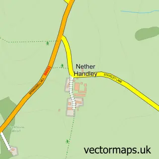
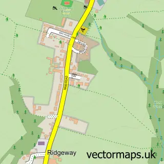
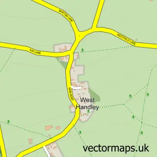
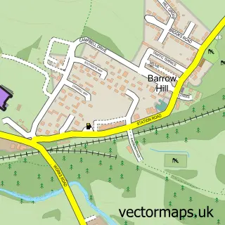
Nearby street map samples around Eckington

More street maps in Derbyshire
750 metre map area coverage
Boundary, postcode and point of interest information for the 750m x 750m rectangle centred on this sample map.
Boundaries containing map centre
Constituency: North East Derbyshire Co Const
County: Derbyshire County
District: North East Derbyshire District
Icb: NHS Derby and Derbyshire ICB
Parish: Eckington CP
Police Force: derbyshire
Postcode District: S21
Postcode Sector: S21 4
Ward: Eckington South & Renishaw Ward
Nearby boundaries intersecting sample
Ward: Eckington North Ward
Postcode coverage
POI category counts
Beauty Salon: 10
Cafe: 7
Doctor: 5
Community Services Non Profits: 4
Professional Services: 4
Building Supply Store: 3
Employment Agencies: 3
Funeral Services And Cemeteries: 3
Nail Salon: 3
Pub: 3
Sample points of interest
- Connexions
- AdPlace Marketing and Media
- Adplace Marketing and Media Limited
- The Hustlers
- Central England Co-Op - Eckington, Eckington
- Peak Hearing
- Peak Mobility Scooters
- Kemps
- The Cake Booth
- Lloyds Bank
- NatWest
- Banking Hub
Create a larger editable map of Eckington
This sample shows only a 750 metre area. To create a larger map of Eckington, use our map builder to choose your own coverage area, add titles and download editable SVG, PDF and PNG files.
Create a custom map of Eckington