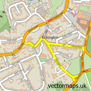
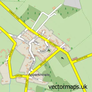
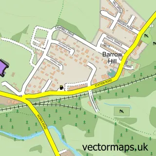
This Marsh Lane street map is a detailed vector street map covering a 750m x 750m area. Select a larger area to create and download your own vector street map of Marsh Lane.
The 750-metre map sample for Marsh Lane covers 208 mapped buildings and approximately 11.8 km of road detail, of which 8 named roads are named. The immediate area includes 1 school, 2 GP surgeries within 2 miles, 3 pubs and 1 MOT station within 2 miles. The wider area around Marsh Lane features 3 food and drink venues. To create a larger or custom map of Marsh Lane, the map builder lets you define your own coverage area and download editable SVG, PDF and PNG files.
Create a larger editable map of Marsh Lane
Choose any area you need and generate a high-quality vector map instantly. Perfect for print, planning, design, business and personal use.

This Marsh Lane street map in Derbyshire is available as downloadable SVG, PDF and PNG map files, or as a printed map for planning, business, display, education, local information and design work. You can also create a larger custom map area using the map selector.
What this Marsh Lane map sample shows
Marsh Lane lies within Eckington Cp parish, part of Ridgeway & Marsh Lane ward in the North East Derbyshire District local authority area. The postcode geography for this area includes the S postcode area, the S21 postcode district and the S21 5 postcode sector. Residents fall under the Nhs Derby And Derbyshire Integrated Care Board for NHS services.
Local features near Marsh Lane
Within 2 milesAmenities and services in and around Marsh Lane.
Administrative and postcode information for Marsh Lane
Marsh Lane lies within Eckington Cp parish, part of Ridgeway & Marsh Lane ward in the North East Derbyshire District local authority area. The postcode geography for this area includes the S postcode area, the S21 postcode district and the S21 5 postcode sector. Residents fall under the Nhs Derby And Derbyshire Integrated Care Board for NHS services.
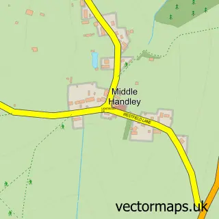
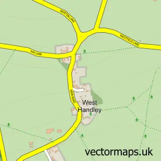
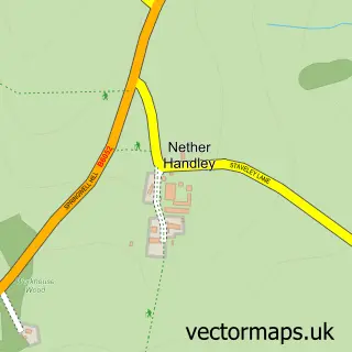
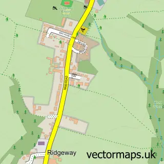
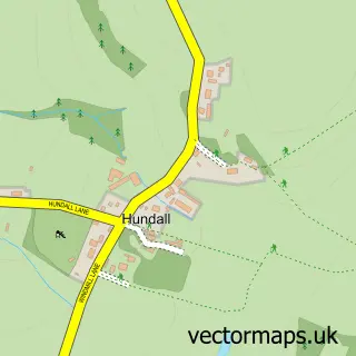
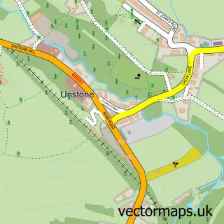
Nearby street map samples around Marsh Lane

More street maps in Derbyshire
750 metre map area coverage
Boundary, postcode and point of interest information for the 750m x 750m rectangle centred on this sample map.
Boundaries containing map centre
Constituency: North East Derbyshire Co Const
County: Derbyshire County
District: North East Derbyshire District
Icb: NHS Derby and Derbyshire ICB
Parish: Eckington CP
Police Force: derbyshire
Postcode District: S21
Postcode Sector: S21 5
Ward: Ridgeway & Marsh Lane Ward
Nearby boundaries intersecting sample
No additional intersecting boundaries found.
Postcode coverage
POI category counts
Pub: 3
Bed And Breakfast: 2
Advertising Agency: 1
Community Center: 1
Event Planning: 1
Furniture Manufacturers: 1
Irish Pub: 1
Pet Services: 1
Textile Mill: 1
Sample points of interest
- Corner PR
- Ravencar Farm Bed & Breakfast
- Ravencar Farm Bed & Breakfast
- Marsh Lane Community Hall
- Simply Organised
- Naylor Maintenance Services
- Fox & Hounds
- Muttcutz
- Fox & Hounds
- Fox & Hounds
- Fox & Hounds
- Scissor Wood Ltd.
Create a larger editable map of Marsh Lane
This sample shows only a 750 metre area. To create a larger map of Marsh Lane, use our map builder to choose your own coverage area, add titles and download editable SVG, PDF and PNG files.
Create a custom map of Marsh Lane