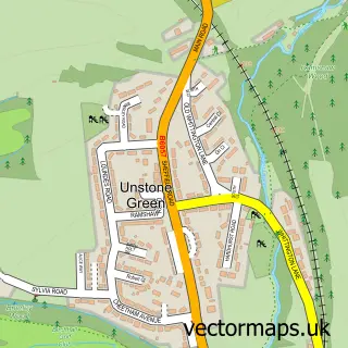
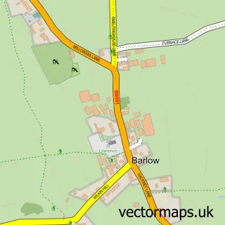
This Unstone street map is a detailed vector street map covering a 750m x 750m area. Select a larger area to create and download your own vector street map of Unstone.
The 750-metre map sample for Unstone covers 96 mapped buildings and approximately 9.1 km of road detail, of which 7 named roads are named. The immediate area includes 2 schools, 2 GP surgeries within 2 miles and 11 MOT stations within 2 miles. To create a larger or custom map of Unstone, the map builder lets you define your own coverage area and download editable SVG, PDF and PNG files.
Create a larger editable map of Unstone
Choose any area you need and generate a high-quality vector map instantly. Perfect for print, planning, design, business and personal use.

This Unstone street map in Derbyshire is available as downloadable SVG, PDF and PNG map files, or as a printed map for planning, business, display, education, local information and design work. You can also create a larger custom map area using the map selector.
What this Unstone map sample shows
Unstone lies within Unstone Cp parish, part of Unstone ward in the North East Derbyshire District local authority area. The postcode geography for this area includes the S postcode area, the S18 postcode district and the S18 4 postcode sector. Residents fall under the Nhs Derby And Derbyshire Integrated Care Board for NHS services.
Local features near Unstone
Within 2 milesAmenities and services in and around Unstone.
Administrative and postcode information for Unstone
Unstone lies within Unstone Cp parish, part of Unstone ward in the North East Derbyshire District local authority area. The postcode geography for this area includes the S postcode area, the S18 postcode district and the S18 4 postcode sector. Residents fall under the Nhs Derby And Derbyshire Integrated Care Board for NHS services.
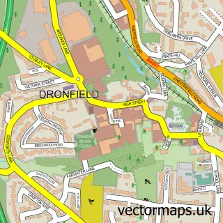
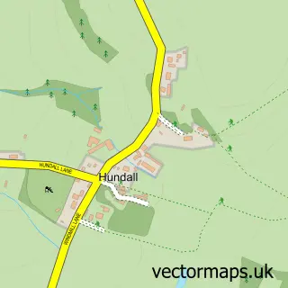
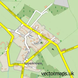
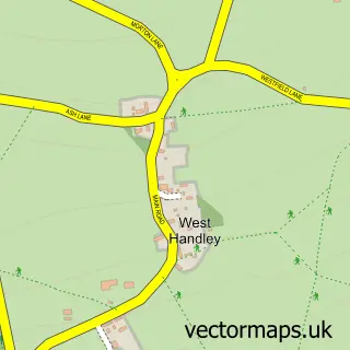
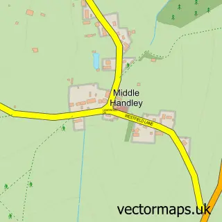
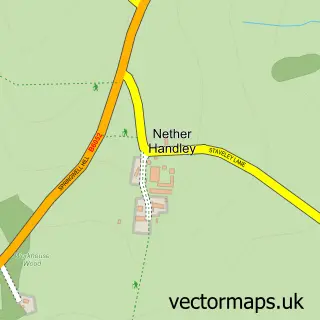
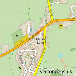
Nearby street map samples around Unstone

More street maps in Derbyshire
750 metre map area coverage
Boundary, postcode and point of interest information for the 750m x 750m rectangle centred on this sample map.
Boundaries containing map centre
Constituency: North East Derbyshire Co Const
County: Derbyshire County
District: North East Derbyshire District
Icb: NHS Derby and Derbyshire ICB
Parish: Unstone CP
Police Force: derbyshire
Postcode District: S18
Postcode Sector: S18 4
Ward: Unstone Ward
Nearby boundaries intersecting sample
Parish: Dronfield CP
Ward: Dronfield North Ward, Dronfield South Ward
Postcode coverage
POI category counts
Appliance Repair Service: 1
Arts And Entertainment: 1
Auto Detailing: 1
Automotive Repair: 1
Bar: 1
Brewery: 1
Car Dealer: 1
Car Wash: 1
Church Cathedral: 1
Community Center: 1
Sample points of interest
- Spare and Square Ltd
- Unstone Community Centre
- Unstone Service Station
- Unstone Service Station
- The Tap at The Brewery
- Drone Valley Brewery
- Unstone Car Sales And Car Wash
- Shiny
- St Mary's Church
- Unstone Community Hall
- Unstone Schools Federation
- CCM Commercial Cleaning Machines
Create a larger editable map of Unstone
This sample shows only a 750 metre area. To create a larger map of Unstone, use our map builder to choose your own coverage area, add titles and download editable SVG, PDF and PNG files.
Create a custom map of Unstone