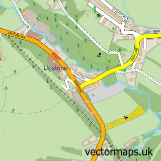
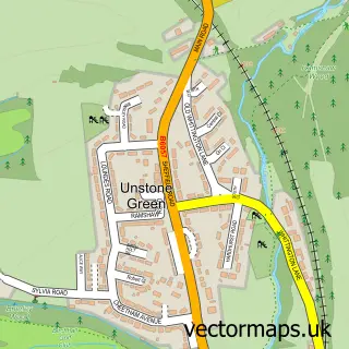
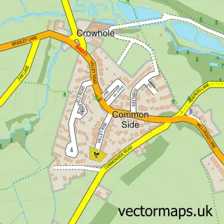
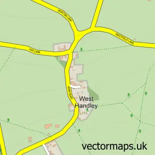
This Dronfield street map is a detailed vector street map covering a 750m x 750m area. Select a larger area to create and download your own vector street map of Dronfield.
The 750-metre map sample for Dronfield covers 352 mapped buildings and approximately 29.5 km of road detail, of which 39 named roads are named. The immediate area includes 2 schools, 1 GP surgery, with 4 within 2 miles, 7 pubs and 8 MOT stations within 2 miles. The wider area around Dronfield features 1 tourism point of interest, 11 food and drink venues and 3 hotels. To create a larger or custom map of Dronfield, the map builder lets you define your own coverage area and download editable SVG, PDF and PNG files.
Create a larger editable map of Dronfield
Choose any area you need and generate a high-quality vector map instantly. Perfect for print, planning, design, business and personal use.

This Dronfield street map in Derbyshire is available as downloadable SVG, PDF and PNG map files, or as a printed map for planning, business, display, education, local information and design work. You can also create a larger custom map area using the map selector.
What this Dronfield map sample shows
Dronfield lies within Dronfield Cp parish, part of Dronfield North ward in the North East Derbyshire District local authority area. The postcode geography for this area includes the S postcode area, the S18 postcode district and the S18 2 postcode sector. Residents fall under the Nhs Derby And Derbyshire Integrated Care Board for NHS services.
Local features near Dronfield
Within 2 milesAmenities and services in and around Dronfield.
Administrative and postcode information for Dronfield
The local authority covering Dronfield is North East Derbyshire District, within the county of Derbyshire. The settlement lies within Dronfield North ward and Dronfield Cp civil parish. The S18 postcode district and S18 2 postcode sector serve the immediate area. NHS provision in the area is delivered through Chesterfield Royal Hospital Nhs Foundation Trust.
Nearby street map samples around Dronfield

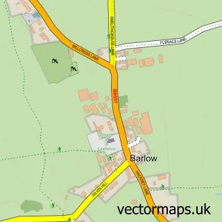
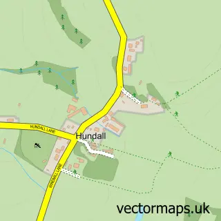
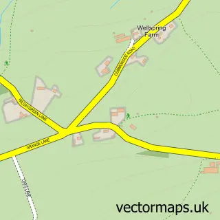
More street maps in Derbyshire
750 metre map area coverage
Boundary, postcode and point of interest information for the 750m x 750m rectangle centred on this sample map.
Boundaries containing map centre
Constituency: North East Derbyshire Co Const
County: Derbyshire County
District: North East Derbyshire District
Icb: NHS Derby and Derbyshire ICB
Parish: Dronfield CP
Police Force: derbyshire
Postcode District: S18
Postcode Sector: S18 1
Ward: Dronfield South Ward
Nearby boundaries intersecting sample
Postcode Sector: S18 2
Ward: Dronfield North Ward, Gosforth Valley Ward
Postcode coverage
POI category counts
Beauty Salon: 9
Pub: 7
Clothing Store: 5
Charity Organization: 4
Church Cathedral: 4
Education: 3
Gym: 3
Hotel: 3
Physical Therapy: 3
Professional Services: 3
Sample points of interest
- E V Marketing
- Extracare Charity Shop
- Blundells
- Frame It
- Direct Car Buyers
- Remap-UK
- Cooplands Of Doncaster
- Barclays Local
- RBS
- Dronfield Baptist Church
- Tahini Lounge Dronfield
- Seong Barber Dronfield | Dronfield
Create a larger editable map of Dronfield
This sample shows only a 750 metre area. To create a larger map of Dronfield, use our map builder to choose your own coverage area, add titles and download editable SVG, PDF and PNG files.
Create a custom map of Dronfield