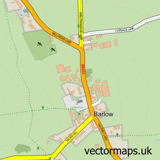
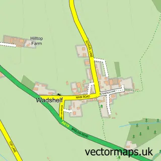
This Barlow Common street map is a detailed vector street map covering a 750m x 750m area. Select a larger area to create and download your own vector street map of Barlow Common.
The 750-metre map sample for Barlow Common covers 177 mapped buildings and approximately 22.8 km of road detail, of which 12 named roads are named. The immediate area includes 4 MOT stations within 2 miles. The wider area around Barlow Common features 2 tourism points of interest and 1 hotel. To create a larger or custom map of Barlow Common, the map builder lets you define your own coverage area and download editable SVG, PDF and PNG files.
Create a larger editable map of Barlow Common
Choose any area you need and generate a high-quality vector map instantly. Perfect for print, planning, design, business and personal use.

This Barlow Common street map in Derbyshire is available as downloadable SVG, PDF and PNG map files, or as a printed map for planning, business, display, education, local information and design work. You can also create a larger custom map area using the map selector.
What this Barlow Common map sample shows
Barlow Common lies within Barlow Cp parish, part of Barlow & Holmesfield ward in the North East Derbyshire District local authority area. The postcode geography for this area includes the S postcode area, the S18 postcode district and the S18 7 postcode sector. Residents fall under the Nhs Derby And Derbyshire Integrated Care Board for NHS services.
Local features near Barlow Common
Within 2 milesAmenities and services in and around Barlow Common.
Administrative and postcode information for Barlow Common
Barlow Common lies within Barlow Cp parish, part of Barlow & Holmesfield ward in the North East Derbyshire District local authority area. The postcode geography for this area includes the S postcode area, the S18 postcode district and the S18 7 postcode sector. Residents fall under the Nhs Derby And Derbyshire Integrated Care Board for NHS services.
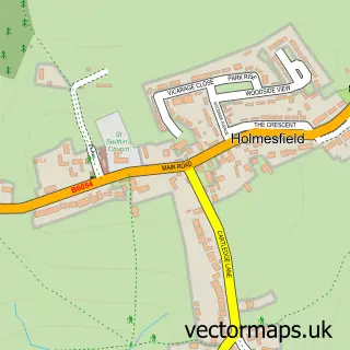
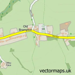
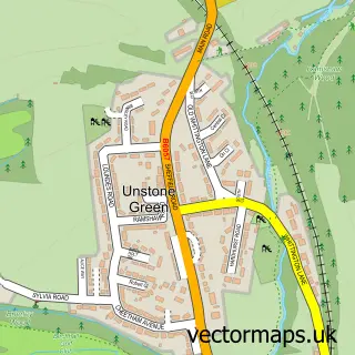
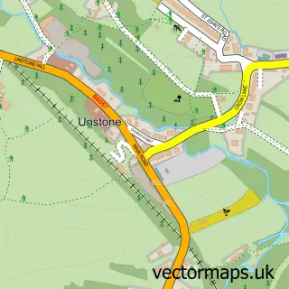
Nearby street map samples around Barlow Common

More street maps in Derbyshire
750 metre map area coverage
Boundary, postcode and point of interest information for the 750m x 750m rectangle centred on this sample map.
Boundaries containing map centre
Constituency: North East Derbyshire Co Const
County: Derbyshire County
District: North East Derbyshire District
Icb: NHS Derby and Derbyshire ICB
Parish: Barlow CP
Police Force: derbyshire
Postcode District: S18
Postcode Sector: S18 7
Ward: Barlow & Holmesfield Ward
Nearby boundaries intersecting sample
No additional intersecting boundaries found.
Postcode coverage
POI category counts
Active Life: 1
Bakery: 1
Beauty Salon: 1
Business Consulting: 1
Campground: 1
Carpenter: 1
Gastropub: 1
Home Cleaning: 1
Home Security: 1
Hotel: 1
Sample points of interest
- Barlow Fishery
- NutMeg Bakes
- Evolve Brows
- Principial
- Barlow Caravan & Camping
- J B Joinery
- The Tickled Trout
- Abell Cleaning Services
- Aerial Force One
- Millfarm cottages
- Palm Jewellery
- Peak Home Surveys Ltd
Create a larger editable map of Barlow Common
This sample shows only a 750 metre area. To create a larger map of Barlow Common, use our map builder to choose your own coverage area, add titles and download editable SVG, PDF and PNG files.
Create a custom map of Barlow Common