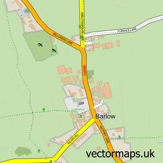
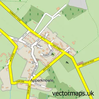
This Holmesfield street map is a detailed vector street map covering a 750m x 750m area. Select a larger area to create and download your own vector street map of Holmesfield.
The 750-metre map sample for Holmesfield covers 172 mapped buildings and approximately 10.0 km of road detail, of which 9 named roads are named. The immediate area includes 3 GP surgeries within 2 miles, 4 pubs and 1 MOT station, with 4 within 2 miles. The wider area around Holmesfield features 1 tourism point of interest and 4 food and drink venues. To create a larger or custom map of Holmesfield, the map builder lets you define your own coverage area and download editable SVG, PDF and PNG files.
Create a larger editable map of Holmesfield
Choose any area you need and generate a high-quality vector map instantly. Perfect for print, planning, design, business and personal use.

This Holmesfield street map in Derbyshire is available as downloadable SVG, PDF and PNG map files, or as a printed map for planning, business, display, education, local information and design work. You can also create a larger custom map area using the map selector.
What this Holmesfield map sample shows
Holmesfield lies within Holmesfield Cp parish, part of Barlow & Holmesfield ward in the North East Derbyshire District local authority area. The postcode geography for this area includes the S postcode area, the S18 postcode district and the S18 7 postcode sector. Residents fall under the Nhs Derby And Derbyshire Integrated Care Board for NHS services.
Local features near Holmesfield
Within 2 milesAmenities and services in and around Holmesfield.
Administrative and postcode information for Holmesfield
Holmesfield lies within Holmesfield Cp parish, part of Barlow & Holmesfield ward in the North East Derbyshire District local authority area. The postcode geography for this area includes the S postcode area, the S18 postcode district and the S18 7 postcode sector. Residents fall under the Nhs Derby And Derbyshire Integrated Care Board for NHS services.
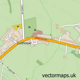
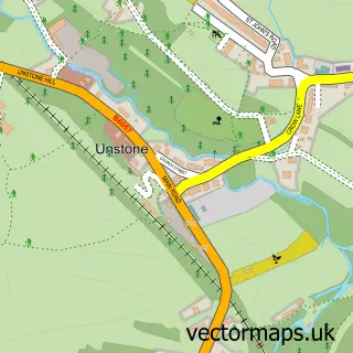
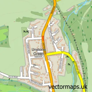
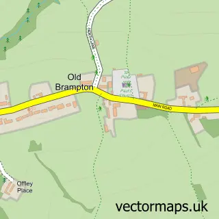
Nearby street map samples around Holmesfield

More street maps in Derbyshire
750 metre map area coverage
Boundary, postcode and point of interest information for the 750m x 750m rectangle centred on this sample map.
Boundaries containing map centre
Constituency: North East Derbyshire Co Const
County: Derbyshire County
District: North East Derbyshire District
Icb: NHS Derby and Derbyshire ICB
Parish: Holmesfield CP
Police Force: derbyshire
Postcode District: S18
Postcode Sector: S18 7
Ward: Barlow & Holmesfield Ward
Nearby boundaries intersecting sample
Postcode Sector: S18 8
Postcode coverage
POI category counts
Pub: 4
Real Estate: 2
Anglican Church: 1
Automotive Repair: 1
Bakery: 1
Business Manufacturing And Supply: 1
Church Cathedral: 1
Community Center: 1
Cottage: 1
Education: 1
Sample points of interest
- St. Swithin's, Holmesfield
- Travellers Rest Garage
- Kilner's Cakes
- Tom Pearson & Sons
- St Swithin's Church
- Holmesfield Village Hall
- The Barn at Woodland View
- TRIBE - Bushcraft Centre
- Pennyacres Primary School
- Holmesfield Local Market
- Advanced Fencing Systems
- Prokem Corrosion Protection Ltd.
Create a larger editable map of Holmesfield
This sample shows only a 750 metre area. To create a larger map of Holmesfield, use our map builder to choose your own coverage area, add titles and download editable SVG, PDF and PNG files.
Create a custom map of Holmesfield