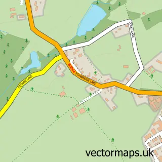
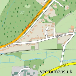
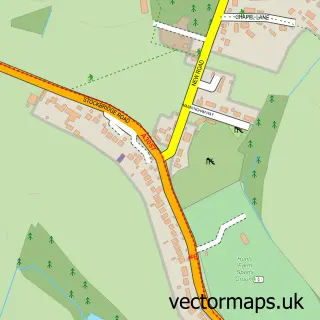
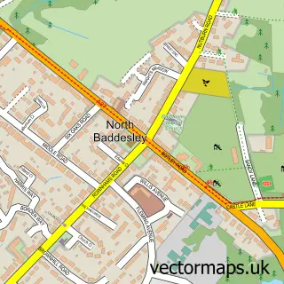
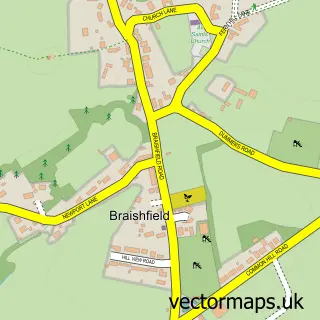
This Romsey street map is a detailed vector street map covering a 750m x 750m area. Select a larger area to create and download your own vector street map of Romsey.
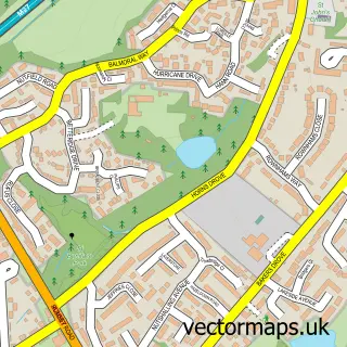
The 750-metre map sample for Romsey covers 320 mapped buildings and approximately 18.7 km of road detail, of which 42 named roads are named. The immediate area includes 1 school, 1 GP surgery, with 2 within 2 miles, 10 pubs and 1 MOT station, with 9 within 2 miles. The wider area around Romsey features 9 tourism points of interest, 28 food and drink venues and 1 hotel. To create a larger or custom map of Romsey, the map builder lets you define your own coverage area and download editable SVG, PDF and PNG files.
Create a larger editable map of Romsey
Choose any area you need and generate a high-quality vector map instantly. Perfect for print, planning, design, business and personal use.

This Romsey street map in Hampshire is available as downloadable SVG, PDF and PNG map files, or as a printed map for planning, business, display, education, local information and design work. You can also create a larger custom map area using the map selector.
What this Romsey map sample shows
Romsey lies within Romsey Cp parish, part of Romsey Abbey ward in the Test Valley District local authority area. The postcode geography for this area includes the SO postcode area, the SO51 postcode district and the SO51 8 postcode sector. Residents fall under the Nhs Hampshire And Isle Of Wight Integrated Care Board for NHS services.
Local features near Romsey
Within 2 milesAmenities and services in and around Romsey.
Administrative and postcode information for Romsey
The local authority covering Romsey is Test Valley District, within the county of Hampshire. The settlement lies within Romsey Abbey ward and Romsey Cp civil parish. The SO51 postcode district and SO51 8 postcode sector serve the immediate area. NHS provision in the area is delivered through University Hospital Southampton Nhs Foundation Trust.
Nearby street map samples around Romsey

More street maps in Hampshire
750 metre map area coverage
Boundary, postcode and point of interest information for the 750m x 750m rectangle centred on this sample map.
Boundaries containing map centre
Constituency: Romsey and Southampton North Co Const
County: Hampshire County
District: Test Valley District
Icb: NHS Hampshire and Isle of Wight ICB
Parish: Romsey CP
Police Force: hampshire
Postcode District: SO51
Postcode Sector: SO51 8
Ward: Romsey Abbey Ward
Nearby boundaries intersecting sample
Postcode Sector: SO51 9
Ward: Romsey Tadburn Ward
Postcode coverage
POI category counts
Beauty Salon: 19
Professional Services: 15
Hair Salon: 14
Real Estate Agent: 13
Cafe: 12
Charity Organization: 10
Pub: 10
Barber: 8
Bank Credit Union: 7
Church Cathedral: 7
Sample points of interest
- Clear Vision Financial Management
- Macklin & Co.
- Wilkins Kennedy Ltd.
- Herbwise
- Adeo Marketing
- Lydeard McArdell Marketing Support
- Pebble Graphics
- Mole Country Stores
- Ingram Osteopaths
- Moradok Siam
- Peppa Pig World Within Paultons Family Theme Park
- Romsey Abbey
Create a larger editable map of Romsey
This sample shows only a 750 metre area. To create a larger map of Romsey, use our map builder to choose your own coverage area, add titles and download editable SVG, PDF and PNG files.
Create a custom map of Romsey