This Rudyard street map is a detailed vector street map covering a 750m x 750m area. Select a larger area to create and download your own vector street map of Rudyard.
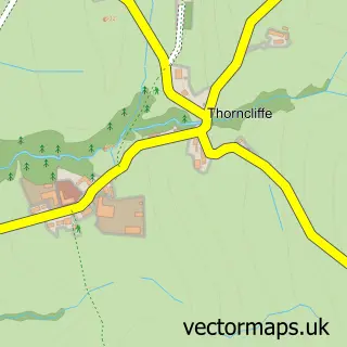
The 750-metre map sample for Rudyard covers 98 mapped buildings and approximately 6.1 km of road detail, of which 5 named roads are named. The immediate area includes 1 MOT station, with 4 within 2 miles. The wider area around Rudyard features 1 food and drink venue and 2 hotels. To create a larger or custom map of Rudyard, the map builder lets you define your own coverage area and download editable SVG, PDF and PNG files.
Create a larger editable map of Rudyard
Choose any area you need and generate a high-quality vector map instantly. Perfect for print, planning, design, business and personal use.

This Rudyard street map in Staffordshire is available as downloadable SVG, PDF and PNG map files, or as a printed map for planning, business, display, education, local information and design work. You can also create a larger custom map area using the map selector.
What this Rudyard map sample shows
Rudyard lies within Horton Cp parish, part of Horton ward in the Staffordshire Moorlands District local authority area. The postcode geography for this area includes the ST postcode area, the ST13 postcode district and the ST13 8 postcode sector. Residents fall under the Nhs Staffordshire And Stoke-On-Trent Integrated Care Board for NHS services.
Local features near Rudyard
Within 2 milesAmenities and services in and around Rudyard.
Administrative and postcode information for Rudyard
The local authority covering Rudyard is Staffordshire Moorlands District, within the county of Staffordshire. The settlement lies within Horton ward and Horton Cp civil parish. The ST13 postcode district and ST13 8 postcode sector serve the immediate area. NHS provision in the area is delivered through University Hospitals Of North Midlands Nhs Trust.
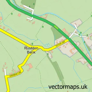
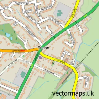
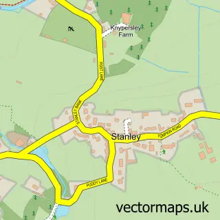
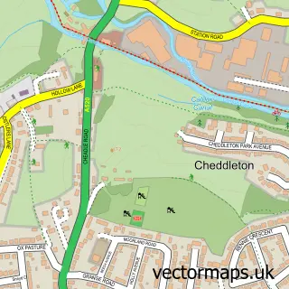
Nearby street map samples around Rudyard

More street maps in Staffordshire
750 metre map area coverage
Boundary, postcode and point of interest information for the 750m x 750m rectangle centred on this sample map.
Boundaries containing map centre
Constituency: Staffordshire Moorlands Co Const
County: Staffordshire County
District: Staffordshire Moorlands District
Icb: NHS Staffordshire and Stoke-on-Trent ICB
Parish: Horton CP
Police Force: staffordshire
Postcode District: ST13
Postcode Sector: ST13 8
Ward: Horton Ward
Nearby boundaries intersecting sample
Parish: Longsdon CP
Postcode coverage
POI category counts
Hotel: 2
Automotive Repair: 1
Cafe: 1
Church Cathedral: 1
Community Services Non Profits: 1
Day Care Preschool: 1
Equestrian Facility: 1
Event Planning: 1
Event Technology Service: 1
Photographer: 1
Sample points of interest
- Rudyard Lake Garage
- Platform 2 Cafe Rudyard
- Rudyard Methodist Church
- James Brindley BNI
- Horton St Michael's CE First School & Nursery, Rudyard
- Rudyard Equestrian Centre
- VenueDo
- Purple Riot
- Hotel Rudyard
- Rudyard Lake Hotel
- John Taylor Photographic
- Rudyard railway station
Create a larger editable map of Rudyard
This sample shows only a 750 metre area. To create a larger map of Rudyard, use our map builder to choose your own coverage area, add titles and download editable SVG, PDF and PNG files.
Create a custom map of Rudyard