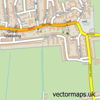
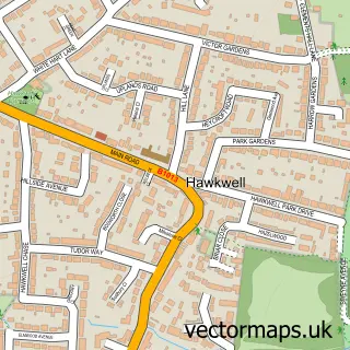
This Shoeburyness street map is a detailed vector street map covering a 750m x 750m area. Select a larger area to create and download your own vector street map of Shoeburyness.
The 750-metre map sample for Shoeburyness covers 238 mapped buildings and approximately 13.0 km of road detail, of which 29 named roads are named. The immediate area includes 1 railway station, 4 GP surgeries within 2 miles, 1 pub and 1 MOT station, with 7 within 2 miles. The wider area around Shoeburyness features 5 food and drink venues and 1 hotel. To create a larger or custom map of Shoeburyness, the map builder lets you define your own coverage area and download editable SVG, PDF and PNG files.
Create a larger editable map of Shoeburyness
Choose any area you need and generate a high-quality vector map instantly. Perfect for print, planning, design, business and personal use.

This Shoeburyness street map in Essex is available as downloadable SVG, PDF and PNG map files, or as a printed map for planning, business, display, education, local information and design work. You can also create a larger custom map area using the map selector.
What this Shoeburyness map sample shows
Shoeburyness lies within Southend-On-Sea (B) parish, part of Shoeburyness ward in the Southend-On-Sea (B) local authority area. The postcode geography for this area includes the SS postcode area, the SS3 postcode district and the SS3 9 postcode sector. Residents fall under the Nhs Mid And South Essex Integrated Care Board for NHS services.
Local features near Shoeburyness
Within 2 milesAmenities and services in and around Shoeburyness.
Administrative and postcode information for Shoeburyness
Shoeburyness lies within Southend-On-Sea (B) parish, part of Shoeburyness ward in the Southend-On-Sea (B) local authority area. The postcode geography for this area includes the SS postcode area, the SS3 postcode district and the SS3 9 postcode sector. Residents fall under the Nhs Mid And South Essex Integrated Care Board for NHS services.
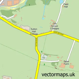
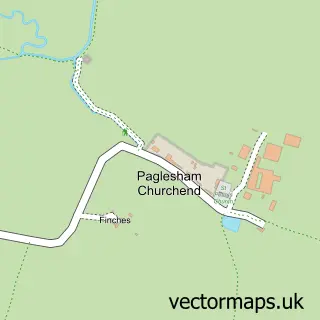
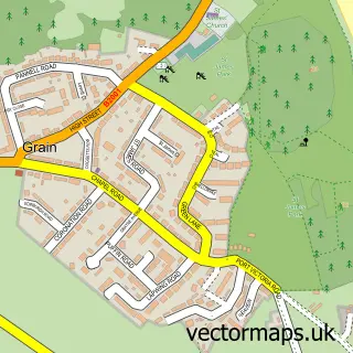
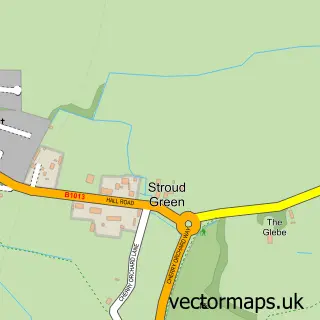
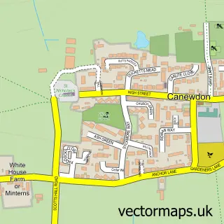
Nearby street map samples around Shoeburyness

More street maps in Essex
750 metre map area coverage
Boundary, postcode and point of interest information for the 750m x 750m rectangle centred on this sample map.
Boundaries containing map centre
Constituency: Southend East and Rochford Co Const
District: Southend-on-Sea (B)
Icb: NHS Essex ICB
Police Force: essex
Postcode District: SS3
Postcode Sector: SS3 9
Ward: Shoeburyness Ward
Nearby boundaries intersecting sample
No additional intersecting boundaries found.
Postcode coverage
POI category counts
Convenience Store: 5
Automotive Repair: 4
Beach: 3
Cafe: 3
Contractor: 3
Bakery: 2
Beauty Salon: 2
Building Supply Store: 2
Church Cathedral: 2
Electrician: 2
Sample points of interest
- South Shoebury: St Peter
- Tingdene Parks
- ATM (Post Office)
- Donn and Son
- Overton Vehicle Overhauls
- Martin Motor Engineers
- Spray Effex Bodyshop
- The Garage
- X M D
- Cakey Goodness
- The Garrison Bakery
- Halifax
Create a larger editable map of Shoeburyness
This sample shows only a 750 metre area. To create a larger map of Shoeburyness, use our map builder to choose your own coverage area, add titles and download editable SVG, PDF and PNG files.
Create a custom map of Shoeburyness