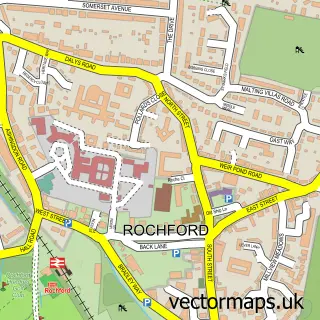
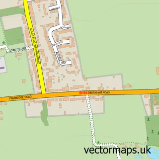
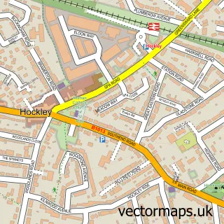
This Canewdon street map is a detailed vector street map covering a 750m x 750m area. Select a larger area to create and download your own vector street map of Canewdon.
The 750-metre map sample for Canewdon covers 226 mapped buildings and approximately 10.8 km of road detail, of which 22 named roads are named. The immediate area includes 1 school. To create a larger or custom map of Canewdon, the map builder lets you define your own coverage area and download editable SVG, PDF and PNG files.
Create a larger editable map of Canewdon
Choose any area you need and generate a high-quality vector map instantly. Perfect for print, planning, design, business and personal use.

This Canewdon street map in Essex is available as downloadable SVG, PDF and PNG map files, or as a printed map for planning, business, display, education, local information and design work. You can also create a larger custom map area using the map selector.
What this Canewdon map sample shows
Canewdon lies within Canewdon Cp parish, part of Roche North And Rural ward in the Rochford District local authority area. The postcode geography for this area includes the SS postcode area, the SS4 postcode district and the SS4 3 postcode sector. Residents fall under the Nhs Mid And South Essex Integrated Care Board for NHS services.
Local features near Canewdon
Within 2 milesAmenities and services in and around Canewdon.
Administrative and postcode information for Canewdon
Canewdon lies within Canewdon Cp parish, part of Roche North And Rural ward in the Rochford District local authority area. The postcode geography for this area includes the SS postcode area, the SS4 postcode district and the SS4 3 postcode sector. Residents fall under the Nhs Mid And South Essex Integrated Care Board for NHS services.
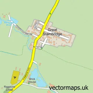
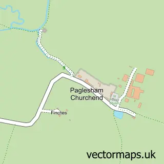
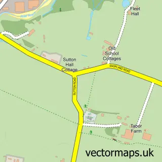
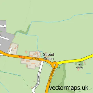
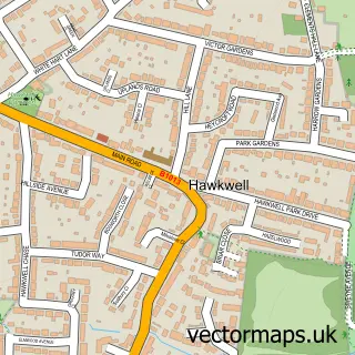
Nearby street map samples around Canewdon

More street maps in Essex
750 metre map area coverage
Boundary, postcode and point of interest information for the 750m x 750m rectangle centred on this sample map.
Boundaries containing map centre
Constituency: Southend East and Rochford Co Const
County: Essex County
District: Rochford District
Icb: NHS Essex ICB
Parish: Canewdon CP
Police Force: essex
Postcode District: SS4
Postcode Sector: SS4 3
Ward: Roche North & Rural Ward
Nearby boundaries intersecting sample
No additional intersecting boundaries found.
Postcode coverage
POI category counts
Bakery: 2
Building Supply Store: 2
Church Cathedral: 2
Elementary School: 2
Shipping Center: 2
Accountant: 1
Acupuncture: 1
Anglican Church: 1
Architectural Designer: 1
Bar: 1
Sample points of interest
- Elliot J Jenkins Associates
- Mark Riley Acupuncture
- Canewdon: St Nicholas
- tbp Architects
- LC Cakes
- My Big Fat Gypsy Cupcake Company
- The Chequers
- Beauty Street Ltd
- The Anchor Inn
- Best Pave Ltd
- P & P Property Preservation
- Surged Ltd.
Create a larger editable map of Canewdon
This sample shows only a 750 metre area. To create a larger map of Canewdon, use our map builder to choose your own coverage area, add titles and download editable SVG, PDF and PNG files.
Create a custom map of Canewdon