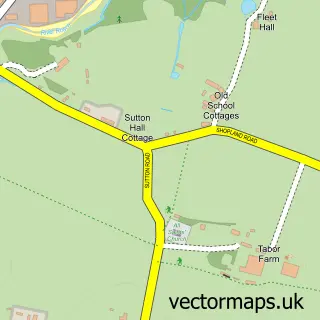
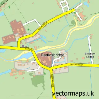
This Hockley street map is a detailed vector street map covering a 750m x 750m area. Select a larger area to create and download your own vector street map of Hockley.
The 750-metre map sample for Hockley covers 621 mapped buildings and approximately 18.1 km of road detail, of which 40 named roads are named. The immediate area includes 1 railway station, 1 GP surgery, with 4 within 2 miles, 1 pub and 2 MOT stations, with 4 within 2 miles. The wider area around Hockley features 6 food and drink venues. To create a larger or custom map of Hockley, the map builder lets you define your own coverage area and download editable SVG, PDF and PNG files.
Create a larger editable map of Hockley
Choose any area you need and generate a high-quality vector map instantly. Perfect for print, planning, design, business and personal use.

This Hockley street map in Essex is available as downloadable SVG, PDF and PNG map files, or as a printed map for planning, business, display, education, local information and design work. You can also create a larger custom map area using the map selector.
What this Hockley map sample shows
Hockley lies within Hockley Cp parish, part of Hockley ward in the Rochford District local authority area. The postcode geography for this area includes the SS postcode area, the SS5 postcode district and the SS5 4 postcode sector. Residents fall under the Nhs Mid And South Essex Integrated Care Board for NHS services.
Local features near Hockley
Within 2 milesAmenities and services in and around Hockley.
Administrative and postcode information for Hockley
Hockley lies within Hockley Cp parish, part of Hockley ward in the Rochford District local authority area. The postcode geography for this area includes the SS postcode area, the SS5 postcode district and the SS5 4 postcode sector. Residents fall under the Nhs Mid And South Essex Integrated Care Board for NHS services.
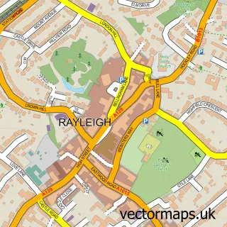
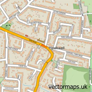
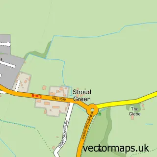
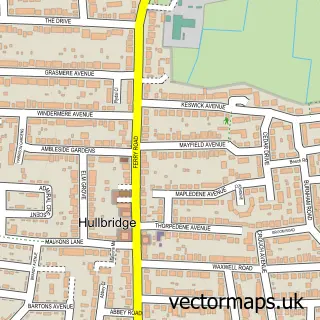
Nearby street map samples around Hockley

More street maps in Essex
750 metre map area coverage
Boundary, postcode and point of interest information for the 750m x 750m rectangle centred on this sample map.
Boundaries containing map centre
Constituency: Rayleigh and Wickford Co Const
County: Essex County
District: Rochford District
Icb: NHS Essex ICB
Parish: Hockley CP
Police Force: essex
Postcode District: SS5
Postcode Sector: SS5 4
Ward: Hockley Ward
Nearby boundaries intersecting sample
Parish: Hawkwell CP
Postcode Sector: SS5 5
Ward: Hawkwell West Ward, Hockley & Ashingdon Ward
Postcode coverage
POI category counts
Beauty Salon: 7
Real Estate Agent: 7
Barber: 6
Building Supply Store: 6
Dentist: 5
Flowers And Gifts Shop: 5
Gym: 5
Automotive Repair: 4
Church Cathedral: 4
Hair Salon: 4
Sample points of interest
- Blythe Accountancy Services
- Red Wine Digital
- Hawkwell: Emmanuel
- Friends of the Lions
- Barker Woodrow Ltd
- Rontec - Chandos
- J. Armfield Glass
- Gould Upholstery Co
- Smarter Building Solutions
- Central Motor Services
- Coversafe
- Hockley Motor Services
Create a larger editable map of Hockley
This sample shows only a 750 metre area. To create a larger map of Hockley, use our map builder to choose your own coverage area, add titles and download editable SVG, PDF and PNG files.
Create a custom map of Hockley