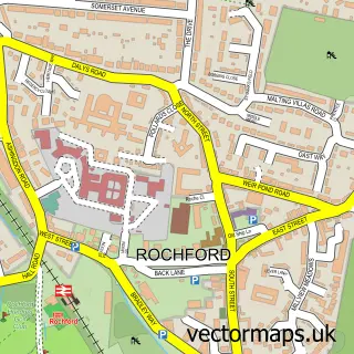
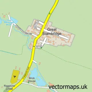
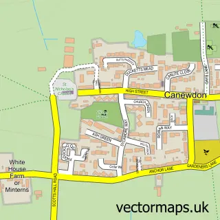
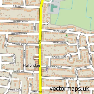
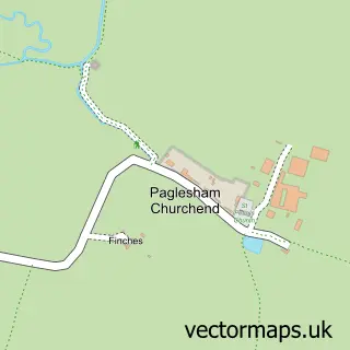
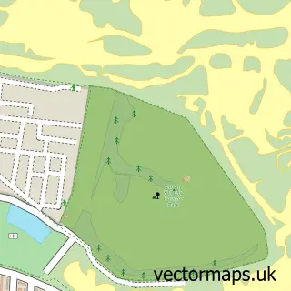
This Stroud Green street map is a detailed vector street map covering a 750m x 750m area. Select a larger area to create and download your own vector street map of Stroud Green.
The 750-metre map sample for Stroud Green covers 41 mapped buildings and approximately 4.9 km of road detail, of which 4 named roads are named. The immediate area includes 10 GP surgeries within 2 miles, 2 pubs and 21 MOT stations within 2 miles. The wider area around Stroud Green features 2 food and drink venues. To create a larger or custom map of Stroud Green, the map builder lets you define your own coverage area and download editable SVG, PDF and PNG files.
Create a larger editable map of Stroud Green
Choose any area you need and generate a high-quality vector map instantly. Perfect for print, planning, design, business and personal use.

This Stroud Green street map in Essex is available as downloadable SVG, PDF and PNG map files, or as a printed map for planning, business, display, education, local information and design work. You can also create a larger custom map area using the map selector.
What this Stroud Green map sample shows
Stroud Green lies within Rochford Cp parish, part of Roche South ward in the Rochford District local authority area. The postcode geography for this area includes the SS postcode area, the SS5 postcode district and the SS5 4 postcode sector. Residents fall under the Nhs Mid And South Essex Integrated Care Board for NHS services.
Local features near Stroud Green
Within 2 milesAmenities and services in and around Stroud Green.
Administrative and postcode information for Stroud Green
The local authority covering Stroud Green is Rochford District, within the county of Essex. The settlement lies within Roche South ward and Rochford Cp civil parish. The SS5 postcode district and SS5 4 postcode sector serve the immediate area. NHS provision in the area is delivered through Mid And South Essex Nhs Foundation Trust.
Nearby street map samples around Stroud Green

More street maps in Essex
750 metre map area coverage
Boundary, postcode and point of interest information for the 750m x 750m rectangle centred on this sample map.
Boundaries containing map centre
Constituency: Southend East and Rochford Co Const
County: Essex County
District: Rochford District
Icb: NHS Essex ICB
Parish: Rochford CP
Police Force: essex
Postcode District: SS4
Postcode Sector: SS4 1
Ward: Roche South Ward
Nearby boundaries intersecting sample
Postcode District: SS5
Postcode Sector: SS5 4
Postcode coverage
POI category counts
Nursery And Gardening: 2
Pub: 2
Beauty Salon: 1
Car Dealer: 1
Convenience Store: 1
Fence And Gate Sales Service: 1
Professional Services: 1
Tree Services: 1
Sample points of interest
- Le Chic Beauty
- Classic and Cabriolets
- SPAR - Cherry Orchard Way
- Gatecraft Fencing Services
- Garden Ornament Centre Essex
- Groomer at Cherry Orchard Nursery
- Totally Sound
- Cock Inn
- The Cock Inn
- Intercounty Tree Services
Create a larger editable map of Stroud Green
This sample shows only a 750 metre area. To create a larger map of Stroud Green, use our map builder to choose your own coverage area, add titles and download editable SVG, PDF and PNG files.
Create a custom map of Stroud Green