This Althorne street map is a detailed vector street map covering a 750m x 750m area. Select a larger area to create and download your own vector street map of Althorne.
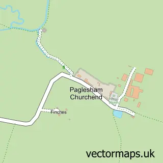
The 750-metre map sample for Althorne covers 227 mapped buildings and approximately 4.8 km of road detail, of which 9 named roads are named. The immediate area includes 1 pub and 2 MOT stations within 2 miles. The wider area around Althorne features 1 food and drink venue. To create a larger or custom map of Althorne, the map builder lets you define your own coverage area and download editable SVG, PDF and PNG files.
Create a larger editable map of Althorne
Choose any area you need and generate a high-quality vector map instantly. Perfect for print, planning, design, business and personal use.

This Althorne street map in Essex is available as downloadable SVG, PDF and PNG map files, or as a printed map for planning, business, display, education, local information and design work. You can also create a larger custom map area using the map selector.
What this Althorne map sample shows
Althorne lies within Althorne Cp parish, part of Althorne ward in the Maldon District (B) local authority area. The postcode geography for this area includes the CM postcode area, the CM3 postcode district and the CM3 6 postcode sector. Residents fall under the Nhs Mid And South Essex Integrated Care Board for NHS services.
Local features near Althorne
Within 2 milesAmenities and services in and around Althorne.
Administrative and postcode information for Althorne
Althorne lies within Althorne Cp parish, part of Althorne ward in the Maldon District (B) local authority area. The postcode geography for this area includes the CM postcode area, the CM3 postcode district and the CM3 6 postcode sector. Residents fall under the Nhs Mid And South Essex Integrated Care Board for NHS services.
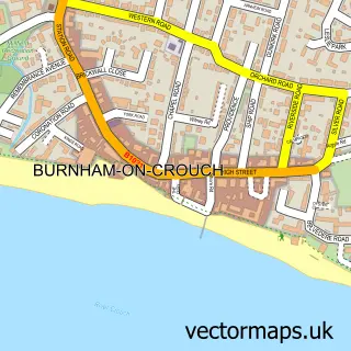
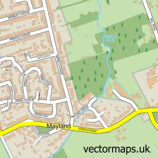
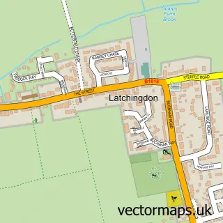
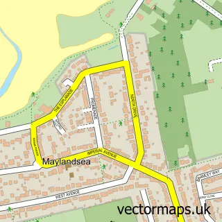
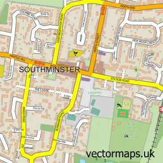
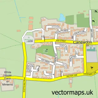
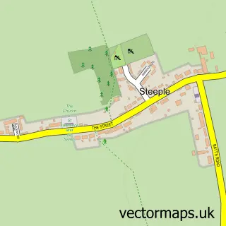
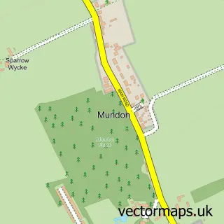
Nearby street map samples around Althorne

More street maps in Essex
750 metre map area coverage
Boundary, postcode and point of interest information for the 750m x 750m rectangle centred on this sample map.
Boundaries containing map centre
Constituency: Maldon Co Const
County: Essex County
District: Maldon District (B)
Icb: NHS Essex ICB
Parish: Althorne CP
Police Force: essex
Postcode District: CM3
Postcode Sector: CM3 6
Ward: Althorne Ward
Nearby boundaries intersecting sample
No additional intersecting boundaries found.
Postcode coverage
POI category counts
Professional Services: 2
Anglican Church: 1
Architectural Designer: 1
Building Supply Store: 1
Nursery And Gardening: 1
Office Cleaning: 1
Pub: 1
Rental Service: 1
Sports Club And League: 1
Tree Services: 1
Sample points of interest
- Althorne: St Andrew
- Extension Design Services
- County Contract Roofing
- Garden Ornaments & Accessories
- Ace Group Property Services
- Broadacres
- Hermanns Christmas Trees
- The Three Horseshoes
- Fords Coaches
- E a s s C
- Essex Tree Brothers
Create a larger editable map of Althorne
This sample shows only a 750 metre area. To create a larger map of Althorne, use our map builder to choose your own coverage area, add titles and download editable SVG, PDF and PNG files.
Create a custom map of Althorne