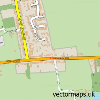
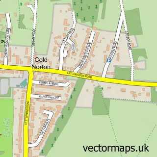
This Mayland street map is a detailed vector street map covering a 750m x 750m area. Select a larger area to create and download your own vector street map of Mayland.
The 750-metre map sample for Mayland covers 423 mapped buildings and approximately 14.1 km of road detail, of which 20 named roads are named. The immediate area includes 1 GP surgery within 2 miles and 1 MOT station. To create a larger or custom map of Mayland, the map builder lets you define your own coverage area and download editable SVG, PDF and PNG files.
Create a larger editable map of Mayland
Choose any area you need and generate a high-quality vector map instantly. Perfect for print, planning, design, business and personal use.

This Mayland street map in Essex is available as downloadable SVG, PDF and PNG map files, or as a printed map for planning, business, display, education, local information and design work. You can also create a larger custom map area using the map selector.
What this Mayland map sample shows
Mayland lies within Mayland Cp parish, part of Mayland ward in the Maldon District (B) local authority area. The postcode geography for this area includes the CM postcode area, the CM3 postcode district and the CM3 6 postcode sector. Residents fall under the Nhs Mid And South Essex Integrated Care Board for NHS services.
Local features near Mayland
Within 2 milesAmenities and services in and around Mayland.
Administrative and postcode information for Mayland
The local authority covering Mayland is Maldon District (B), within the county of Essex. The settlement lies within Mayland ward and Mayland Cp civil parish. The CM3 postcode district and CM3 6 postcode sector serve the immediate area. NHS provision in the area is delivered through Mid And South Essex Nhs Foundation Trust.
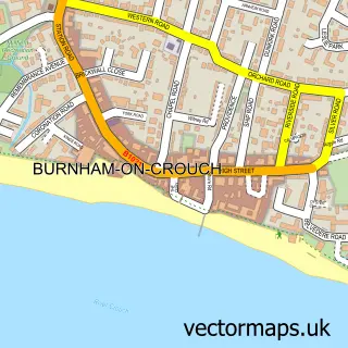
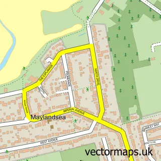
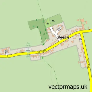
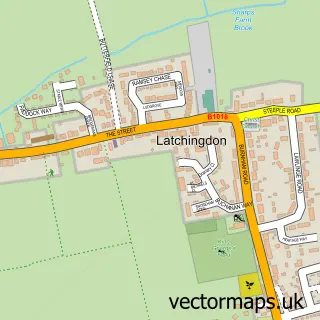
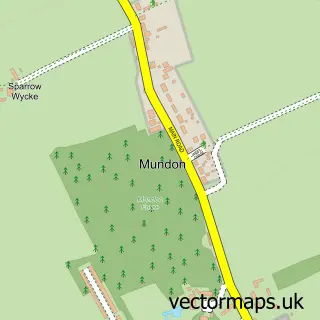
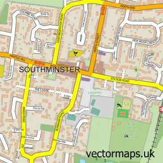
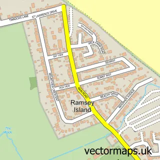
Nearby street map samples around Mayland

More street maps in Essex
750 metre map area coverage
Boundary, postcode and point of interest information for the 750m x 750m rectangle centred on this sample map.
Boundaries containing map centre
Constituency: Maldon Co Const
County: Essex County
District: Maldon District (B)
Icb: NHS Essex ICB
Parish: Mayland CP
Police Force: essex
Postcode District: CM3
Postcode Sector: CM3 6
Ward: Mayland Ward
Nearby boundaries intersecting sample
Parish: Latchingdon CP
Ward: Althorne Ward
Postcode coverage
POI category counts
Building Supply Store: 3
Courier And Delivery Services: 2
Gas Station: 2
Indian Restaurant: 2
Professional Services: 2
Advertising Agency: 1
Automotive Repair: 1
Carpenter: 1
Carpet Store: 1
Caterer: 1
Sample points of interest
- Charity Graphics
- Mill Motors
- Innercore Services
- Reel Building Services
- Twilite UK
- Mayland Manufacturing
- Tile Haven
- At Your Beck & Call
- The Rickshaw
- Essex Waistcoats Ltd
- Essex Waistcoats
- DengieTech Ltd
Create a larger editable map of Mayland
This sample shows only a 750 metre area. To create a larger map of Mayland, use our map builder to choose your own coverage area, add titles and download editable SVG, PDF and PNG files.
Create a custom map of Mayland