This Cold Norton street map is a detailed vector street map covering a 750m x 750m area. Select a larger area to create and download your own vector street map of Cold Norton.
The 750-metre map sample for Cold Norton covers 253 mapped buildings and approximately 12.8 km of road detail, of which 12 named roads are named. The immediate area includes 1 school, 1 pub and 2 MOT stations within 2 miles. The wider area around Cold Norton features 1 food and drink venue. To create a larger or custom map of Cold Norton, the map builder lets you define your own coverage area and download editable SVG, PDF and PNG files.
Create a larger editable map of Cold Norton
Choose any area you need and generate a high-quality vector map instantly. Perfect for print, planning, design, business and personal use.

This Cold Norton street map in Essex is available as downloadable SVG, PDF and PNG map files, or as a printed map for planning, business, display, education, local information and design work. You can also create a larger custom map area using the map selector.
What this Cold Norton map sample shows
Cold Norton lies within Cold Norton Cp parish, part of Purleigh ward in the Maldon District (B) local authority area. The postcode geography for this area includes the CM postcode area, the CM3 postcode district and the CM3 6 postcode sector. Residents fall under the Nhs Mid And South Essex Integrated Care Board for NHS services.
Local features near Cold Norton
Within 2 milesAmenities and services in and around Cold Norton.
Administrative and postcode information for Cold Norton
Cold Norton lies within Cold Norton Cp parish, part of Purleigh ward in the Maldon District (B) local authority area. The postcode geography for this area includes the CM postcode area, the CM3 postcode district and the CM3 6 postcode sector. Residents fall under the Nhs Mid And South Essex Integrated Care Board for NHS services.
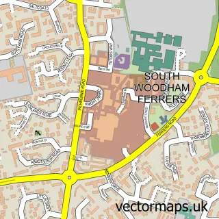
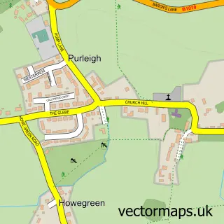
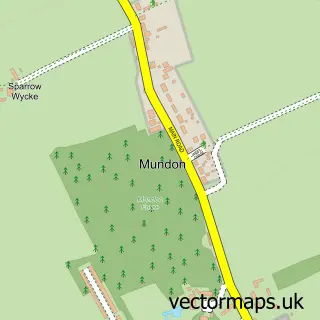
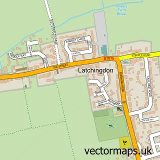
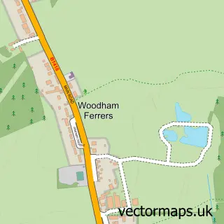
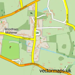
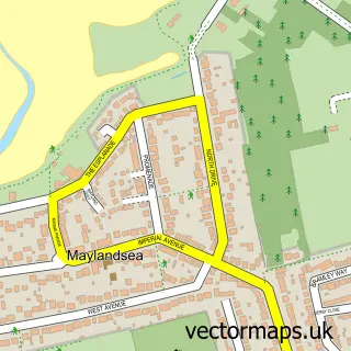
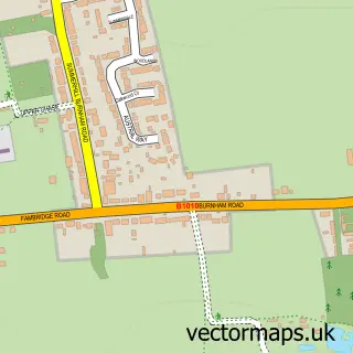
Nearby street map samples around Cold Norton


More street maps in Essex
750 metre map area coverage
Boundary, postcode and point of interest information for the 750m x 750m rectangle centred on this sample map.
Boundaries containing map centre
Constituency: Maldon Co Const
County: Essex County
District: Maldon District (B)
Icb: NHS Essex ICB
Parish: Cold Norton CP
Police Force: essex
Postcode District: CM3
Postcode Sector: CM3 6
Ward: Purleigh Ward
Nearby boundaries intersecting sample
Parish: Purleigh CP
Postcode District: CM9
Postcode Sector: CM9 6
Postcode coverage
POI category counts
Beauty Salon: 2
Alternative Medicine: 1
Bar: 1
Elementary School: 1
Gym: 1
Home Service: 1
Knitting Supply: 1
Mortgage Broker: 1
Motorcycle Dealer: 1
Naturopathic Holistic: 1
Sample points of interest
- Jrpsyche
- The Norton
- Cissys Beauty
- The Stable
- Cold Norton Primary School
- Cold Norton Village Hall Cherry Blossom Lane
- Drainage & Hygiene Services Ltd
- PG Blinds & Shutters
- Equity Release Specialists
- Surron ESSEX
- Jackie Ralph
- First Call Plumbing
Create a larger editable map of Cold Norton
This sample shows only a 750 metre area. To create a larger map of Cold Norton, use our map builder to choose your own coverage area, add titles and download editable SVG, PDF and PNG files.
Create a custom map of Cold Norton